
Flat & Straight
7 September 2015
Rodby, Denmark
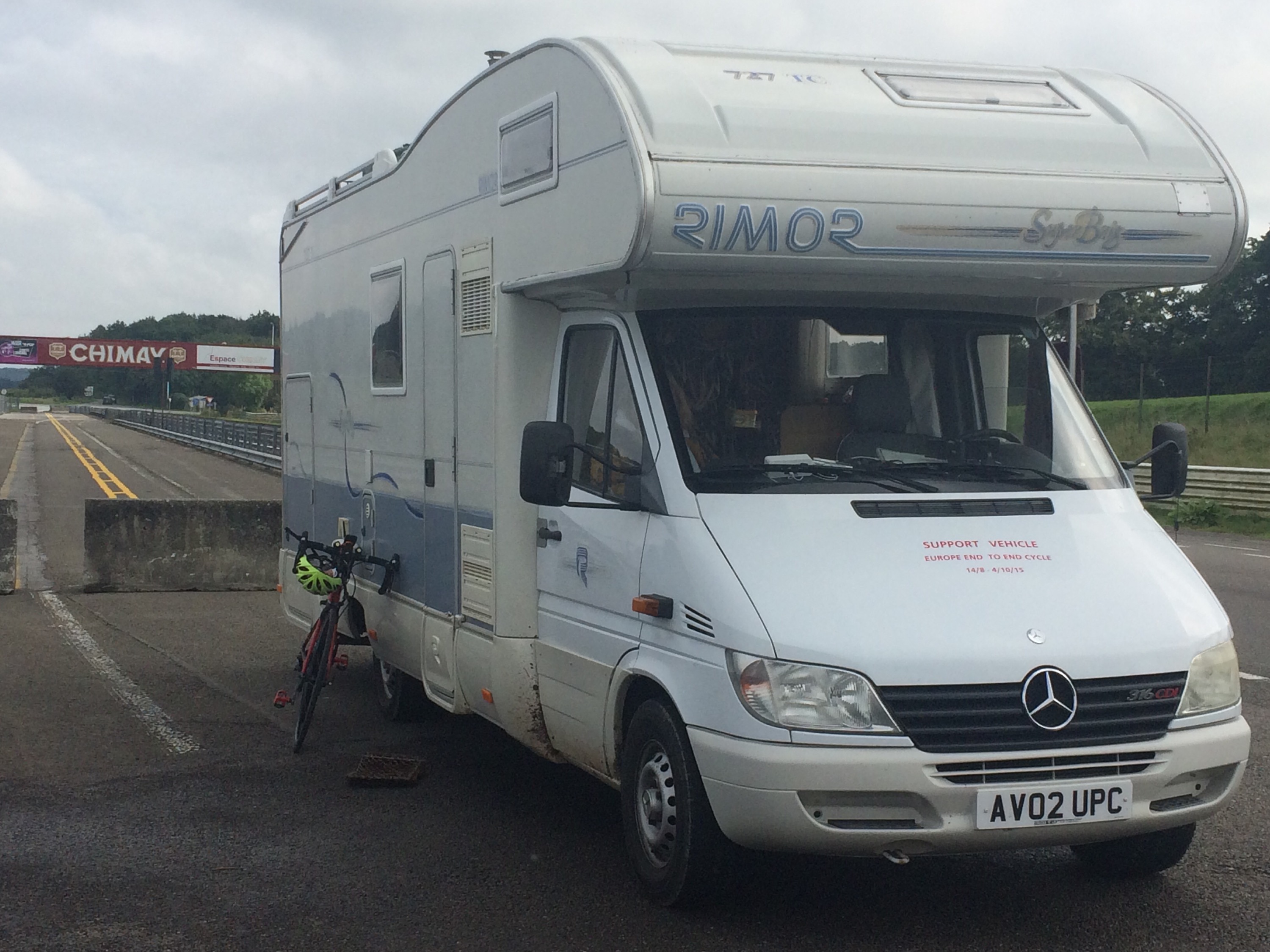
Day Seventeen 101 miles 1873ft
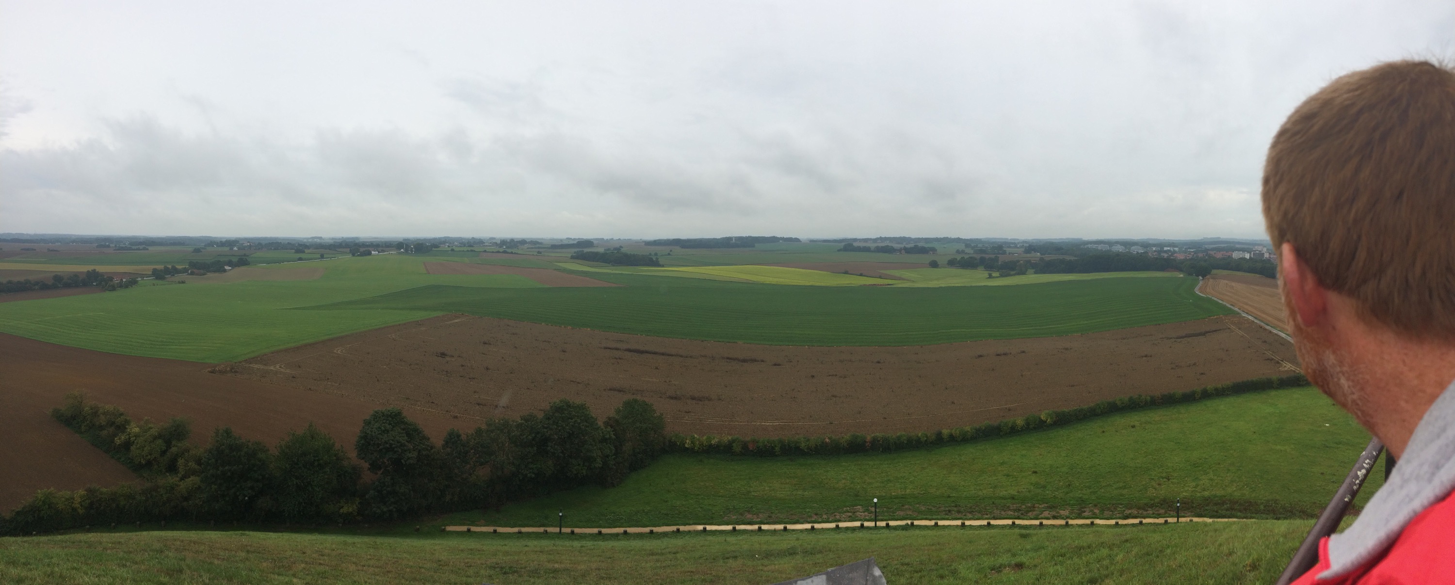
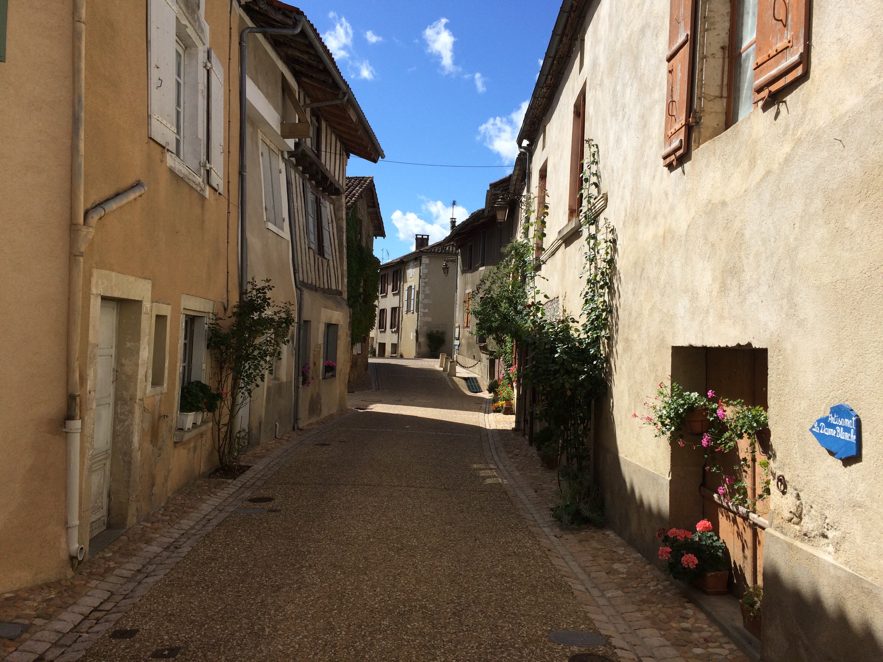
Is not a type of Danish coffee, but is a reflection of the roads cycled today. Denmark proved to us, that it is Europe’s lowest nation with a maximum height above sea level of just over 500 ft.
After a great weekend’s rest exploring Copenhagen with my wife, Caroline, who flew over for the weekend, today was back on the bike
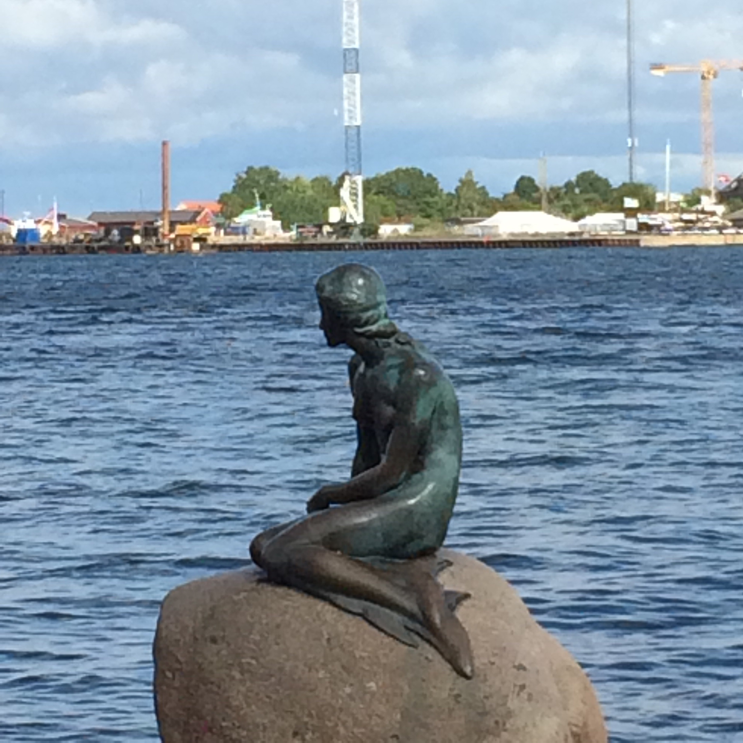
Aside from the compulsory visit to see the Little Mermaid, paid for by the Carlsberg brewing magnate, the main highlight was a visit round the house of Karen Blixen, who is known in the UK for “Out of Africa”. As a cycling connection her former coffee plantation in Kenya was sold off for housing, which became known as the Karen suburb of Nairobi where Chris Froome was raised.
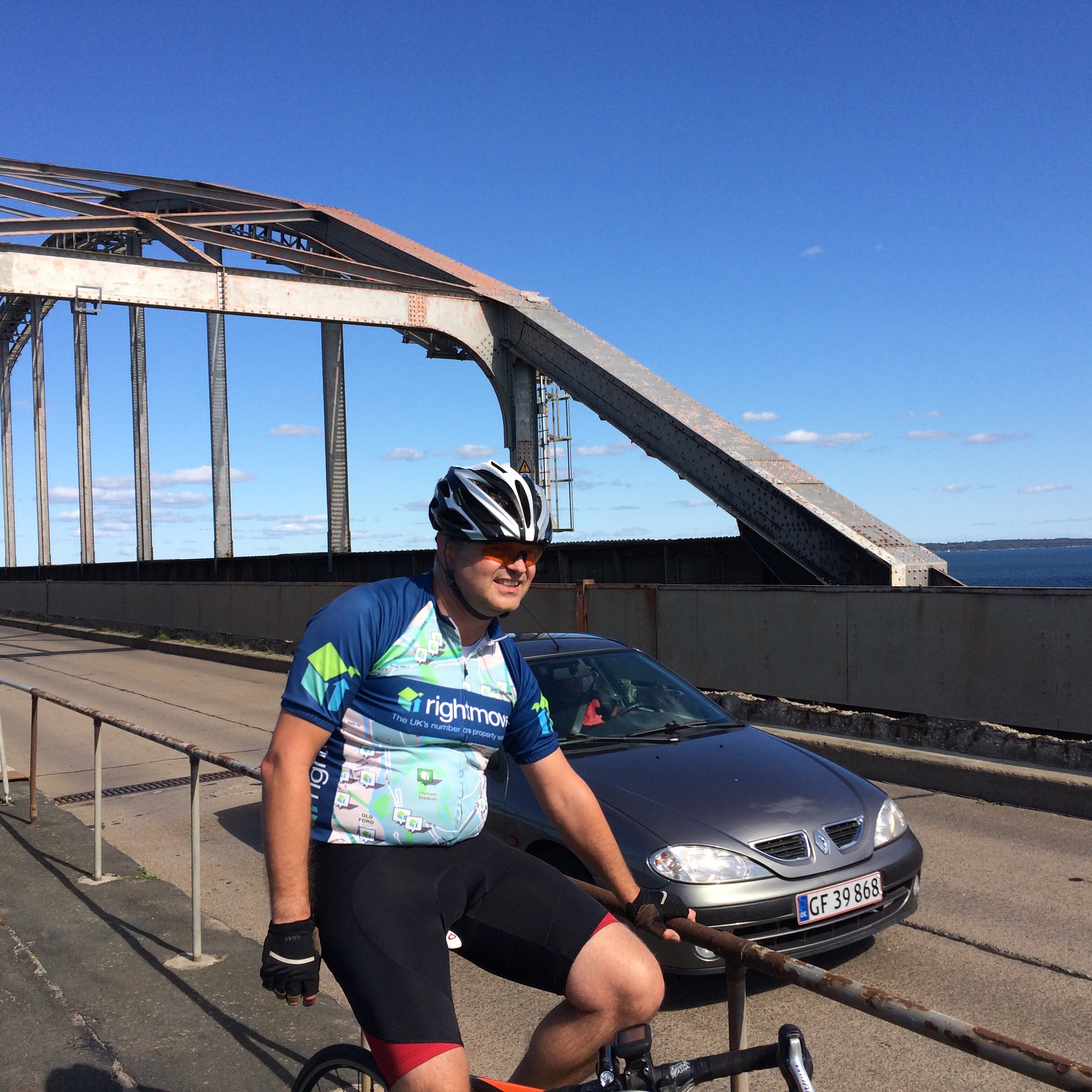
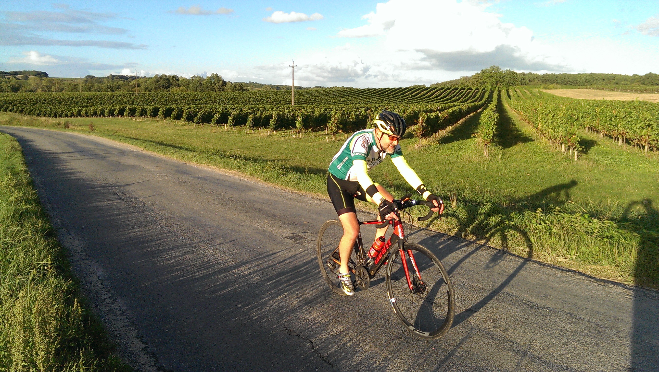
Today I was joined by my brother Peter, who we picked up at Copenhagen airport, at the same time we dropped Caroline off on Sunday evening.
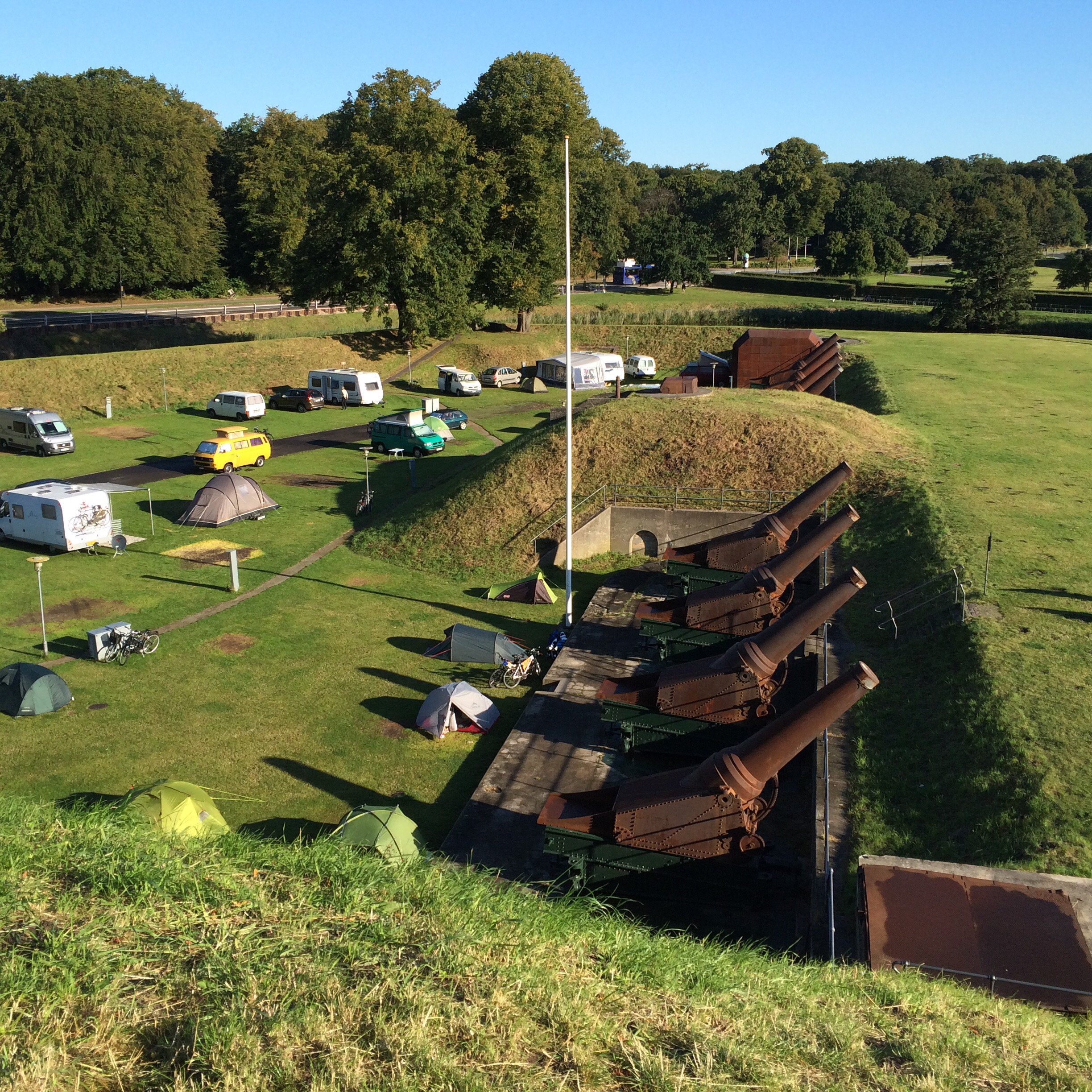
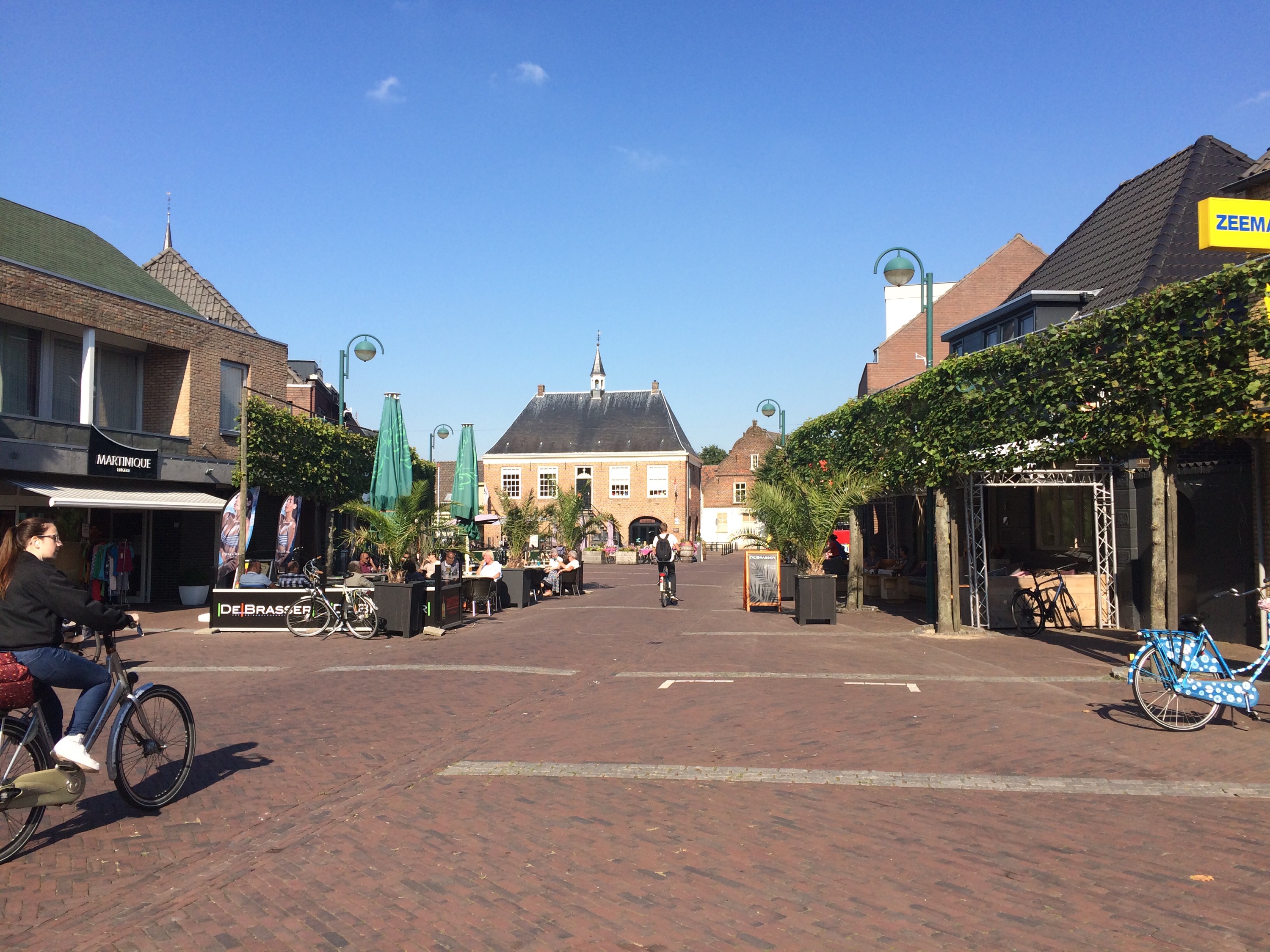
Part of doing this tour is to experience different types of cycling. Leaving our well defended campsite in glorious but cool sunshine, we then had the fun of riding through Copenhagen in the Monday morning rush hour.
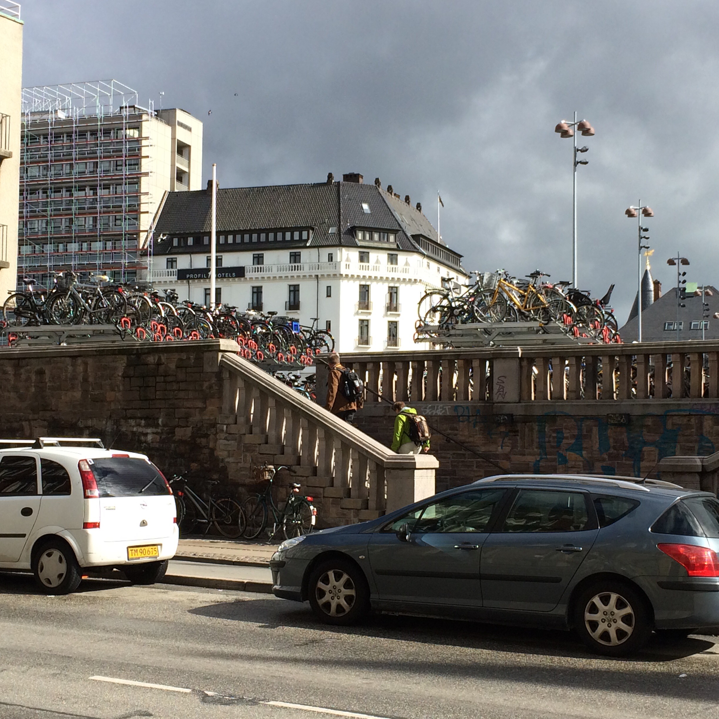
Whilst I would not dream of riding in London like this, the cycle paths and priority to cyclists made it fun. I understand Copenhagen has an award as one of the worlds most bike friendly cities. It was amazing how quickly some of the guys in suits sped along to get their bikes into special multi storey bike parking too.
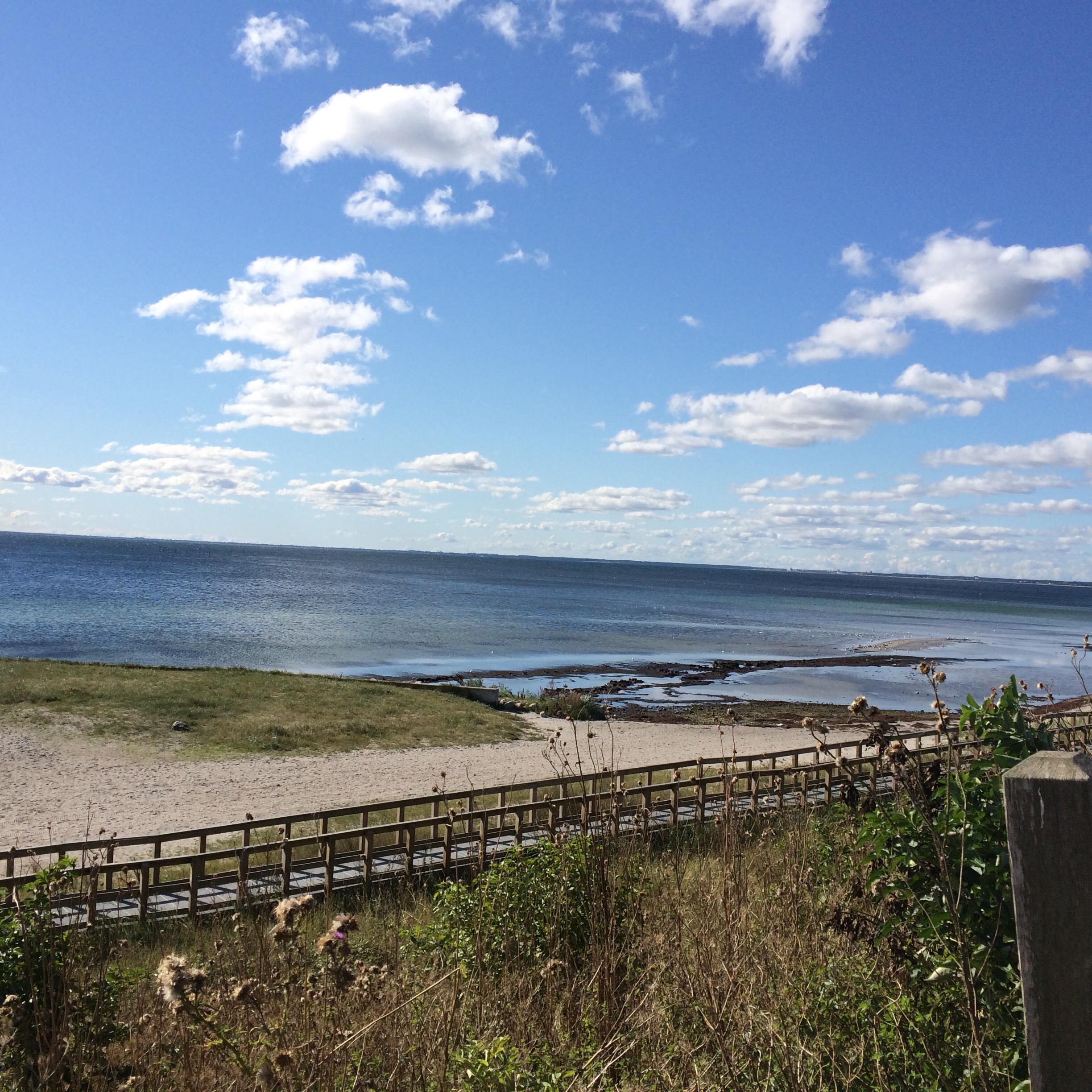
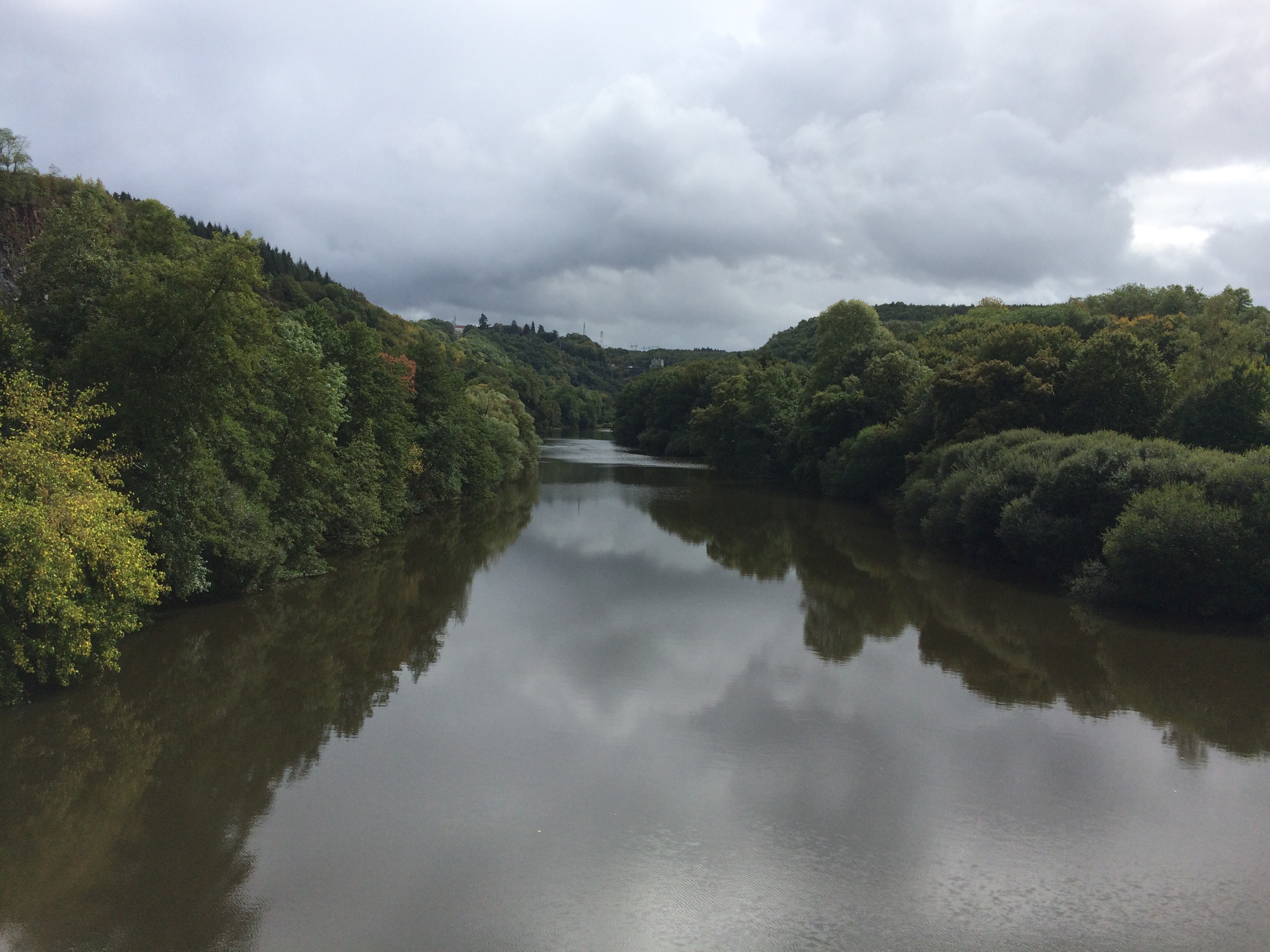
Leaving the city past Copenhagen Zoo. We did not see any giraffes. The road took us out of the suburbs and along behind the coast, again still on cycle paths, all the way to our coffee halt after 32 miles.
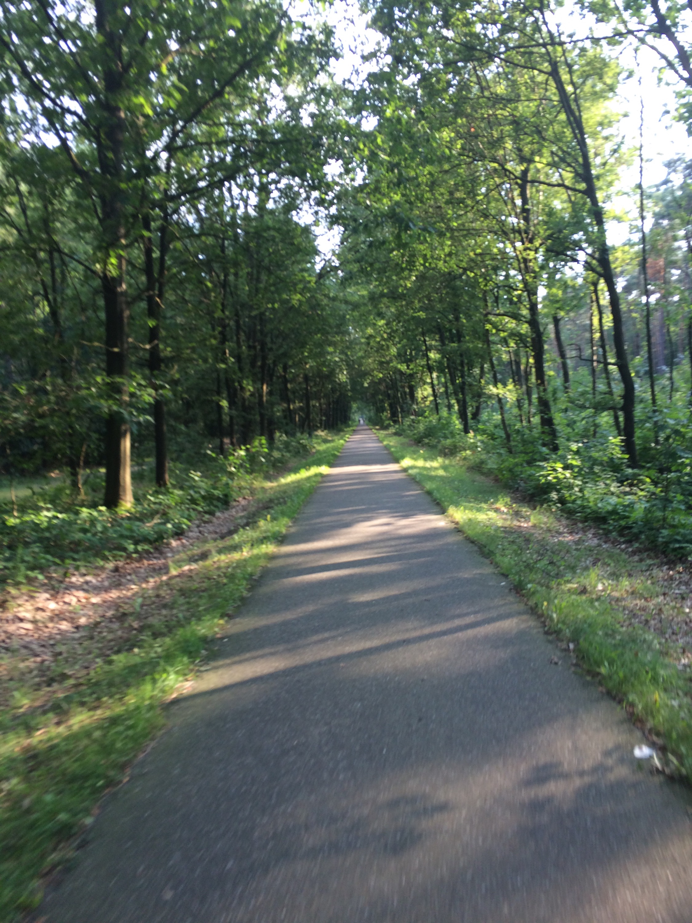
Turning inland, Peter and I then,still mostly on cycle paths, probably made the fewest number of turns over the next 30 miles ever.
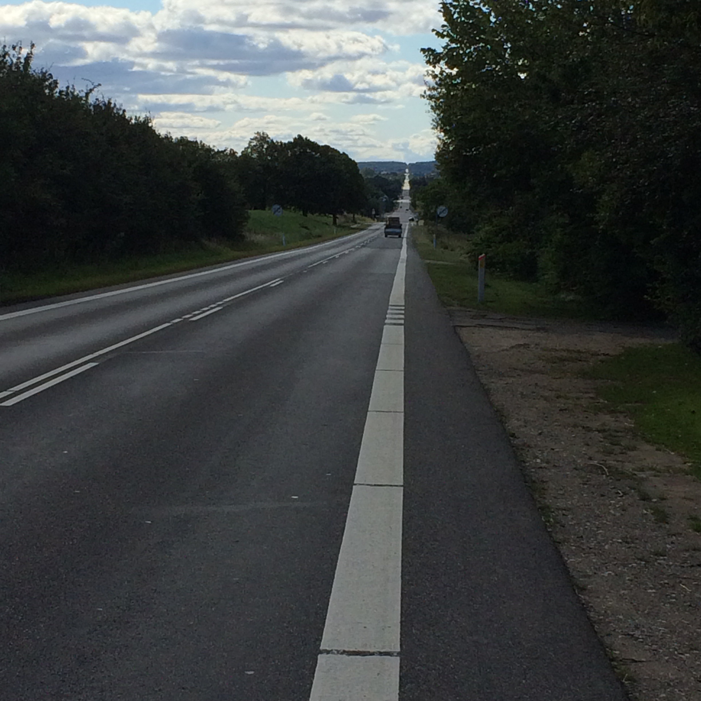
At one stage we could see 6 miles straight ahead. Luckily the wind had switched completely from last week and was mostly pushing us along. This added to the fact that the road was not that hilly led to us covering 25 miles in under an hour and 20 minutes (19mph ave).
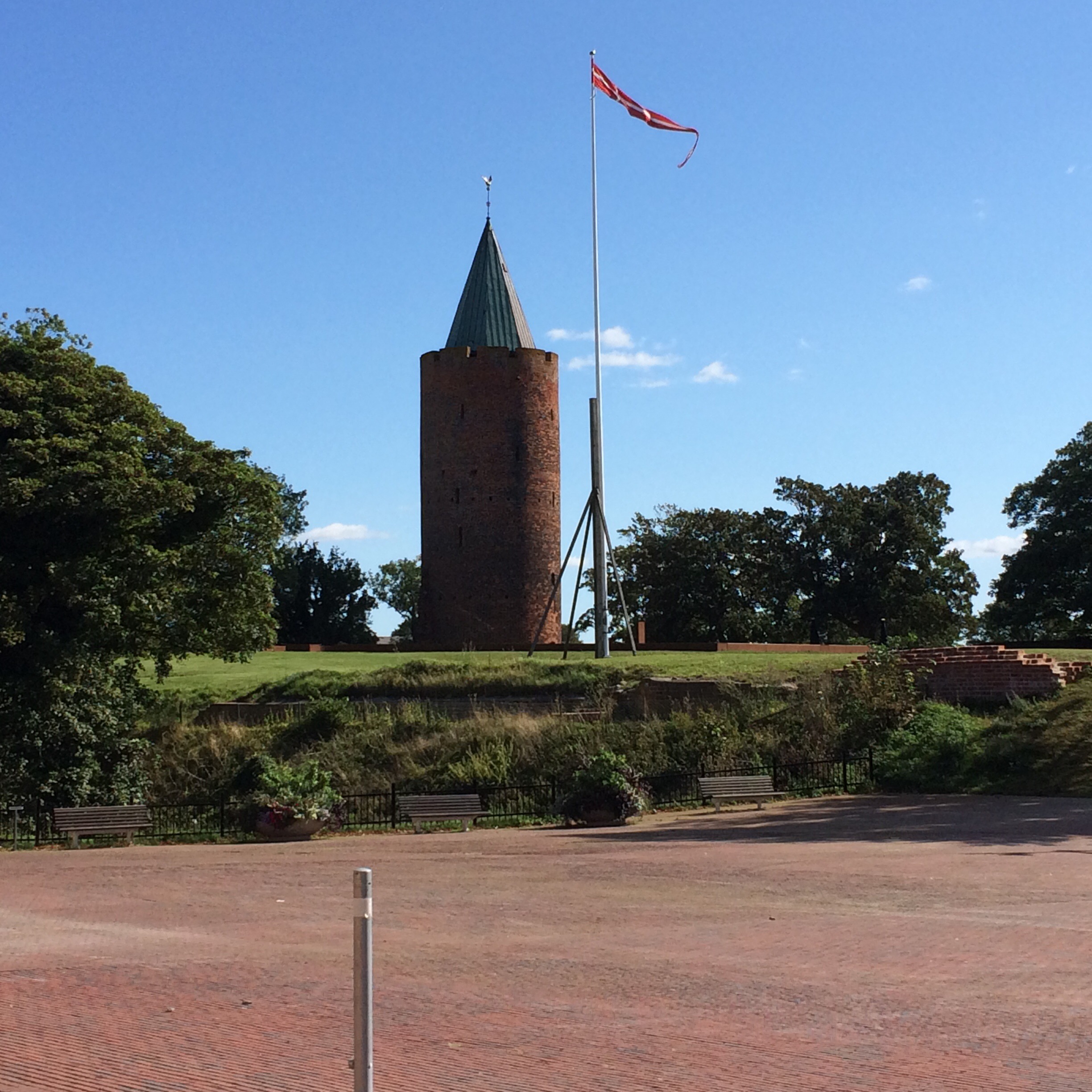
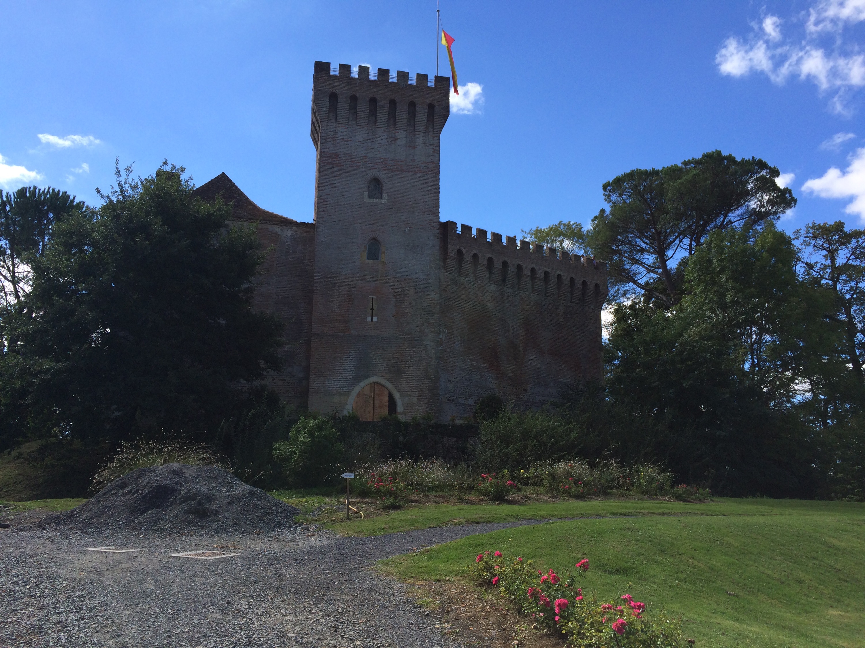
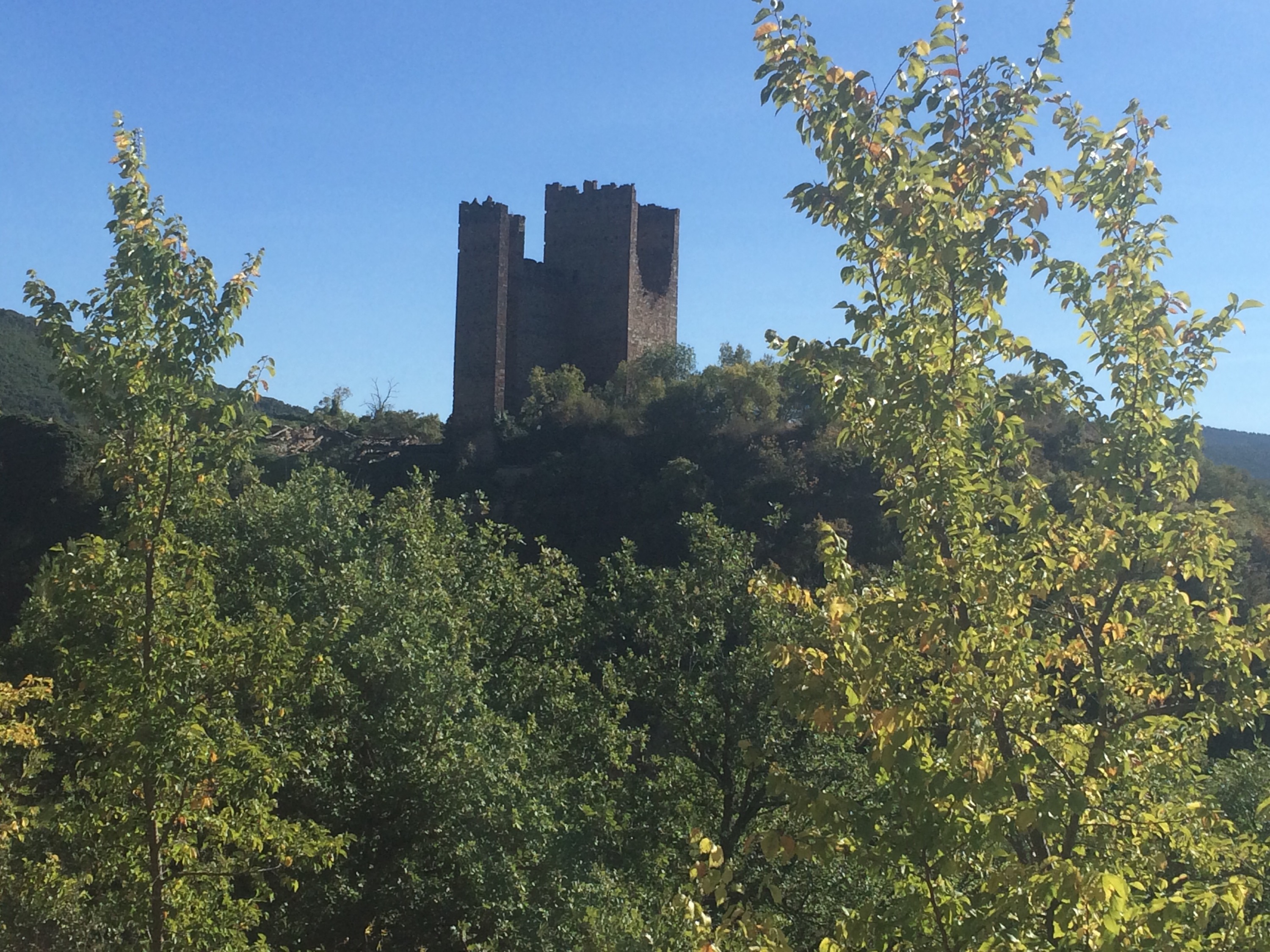
This is reputedly Rapunzel’s tower in the best preserved castle in Denmark, though is some way off our selection in the UK.
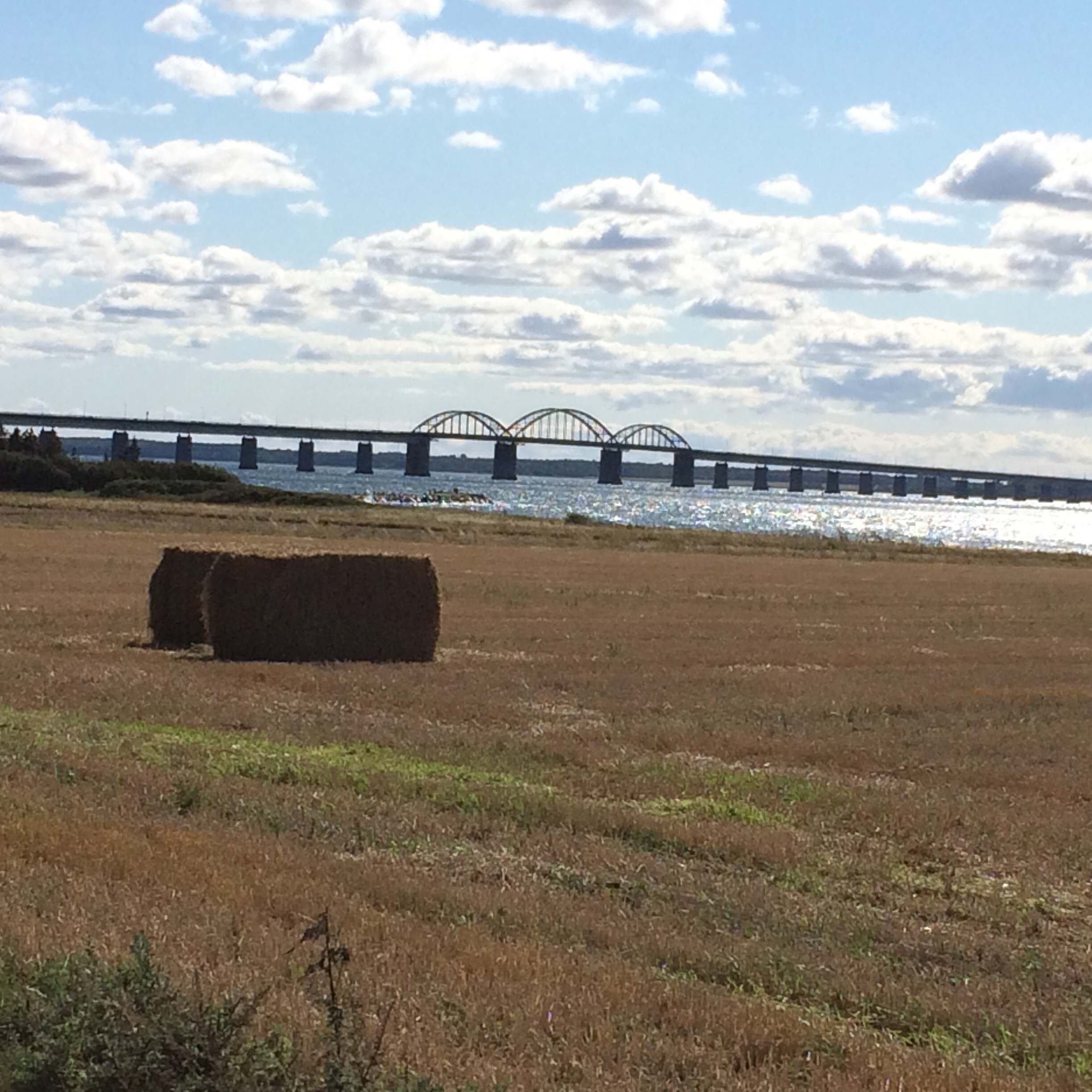
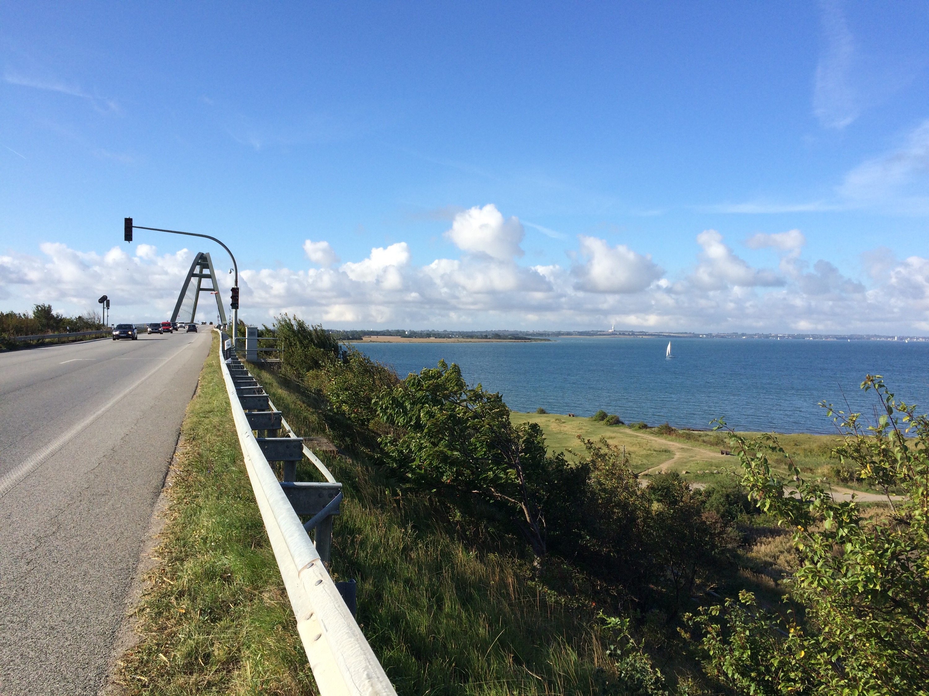
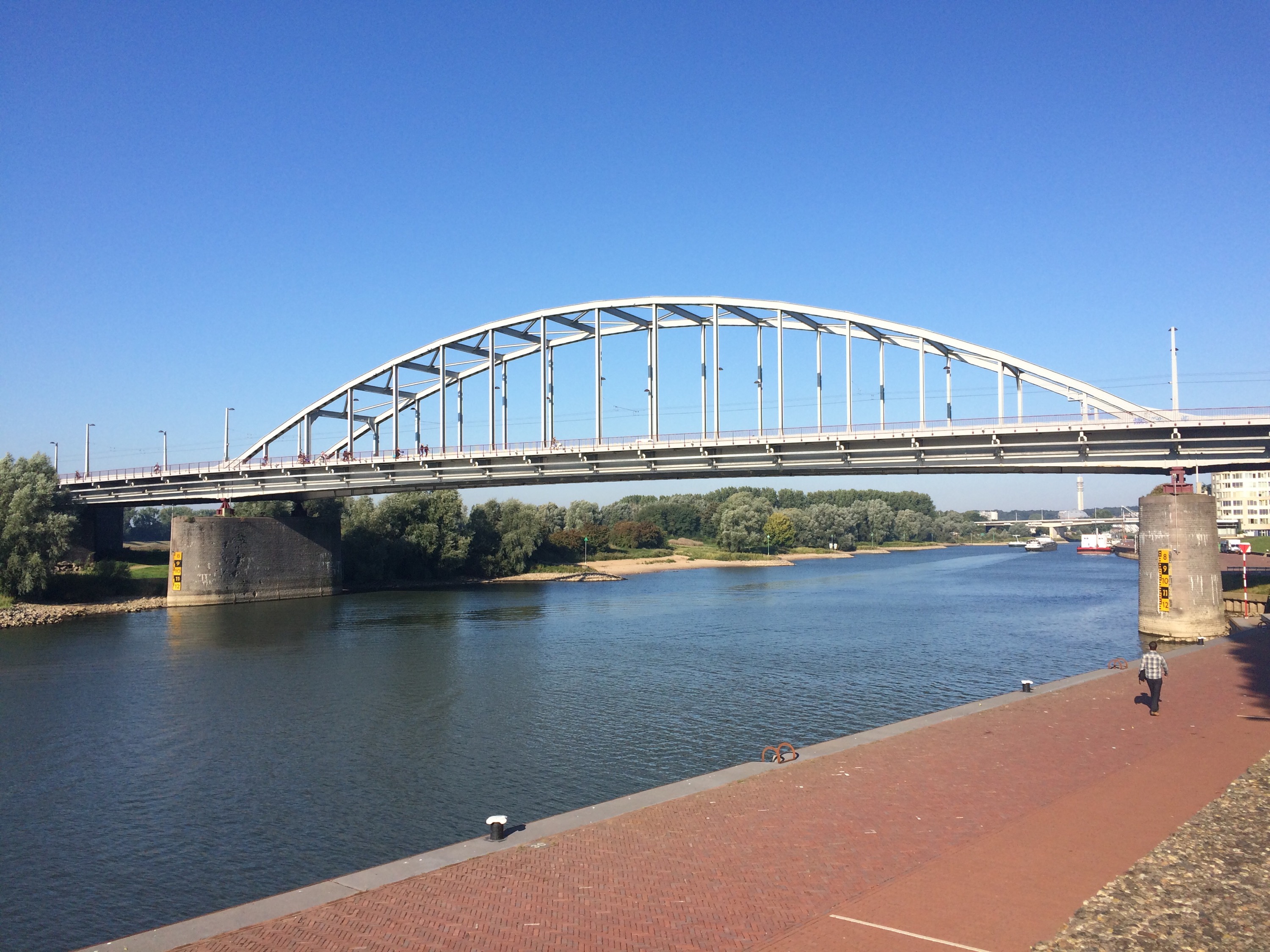
Just before our lunch stop we crossed a two mile long bridge linking two islands even that was mostly flat and straight.
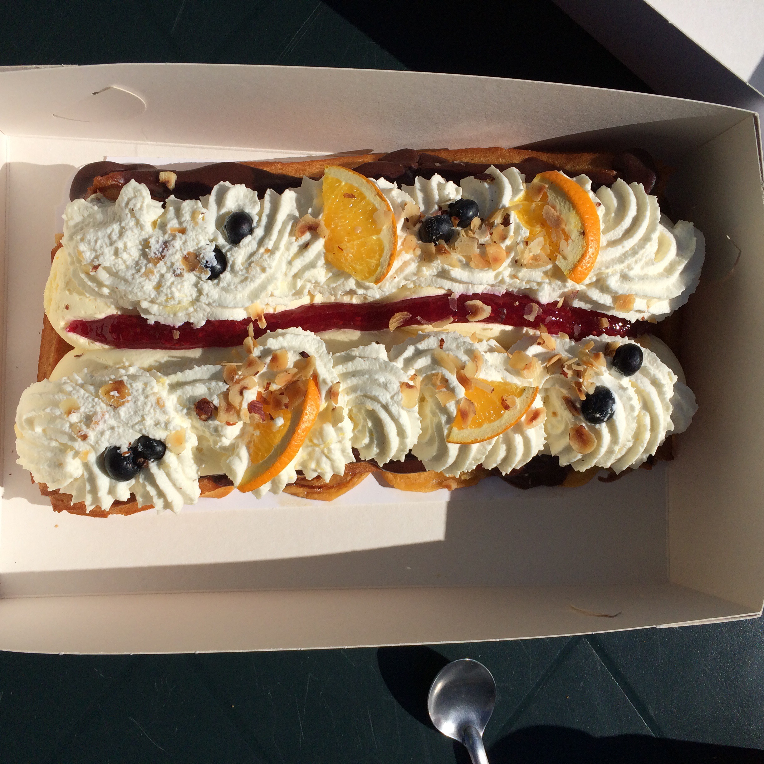
A great alfresco lunch was added to as Monica had obtained the largest Danish pastry ever
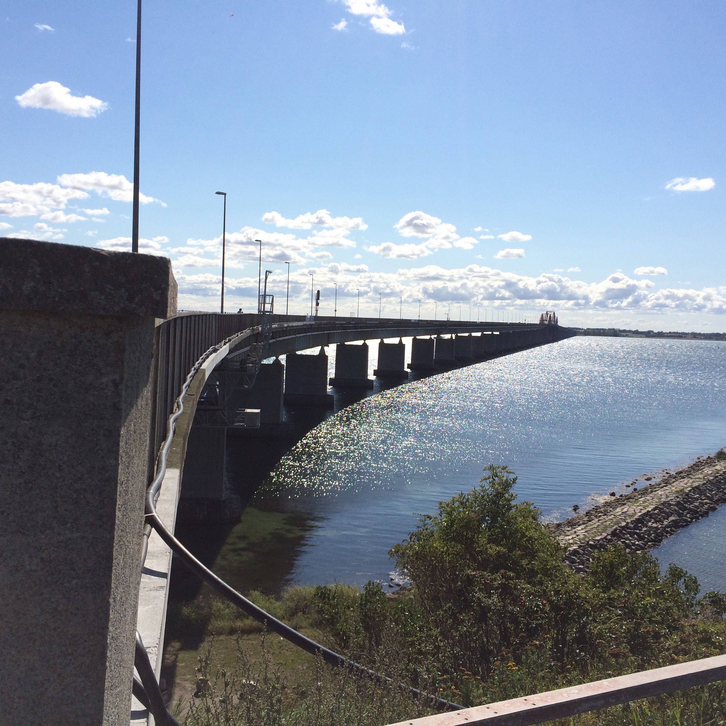
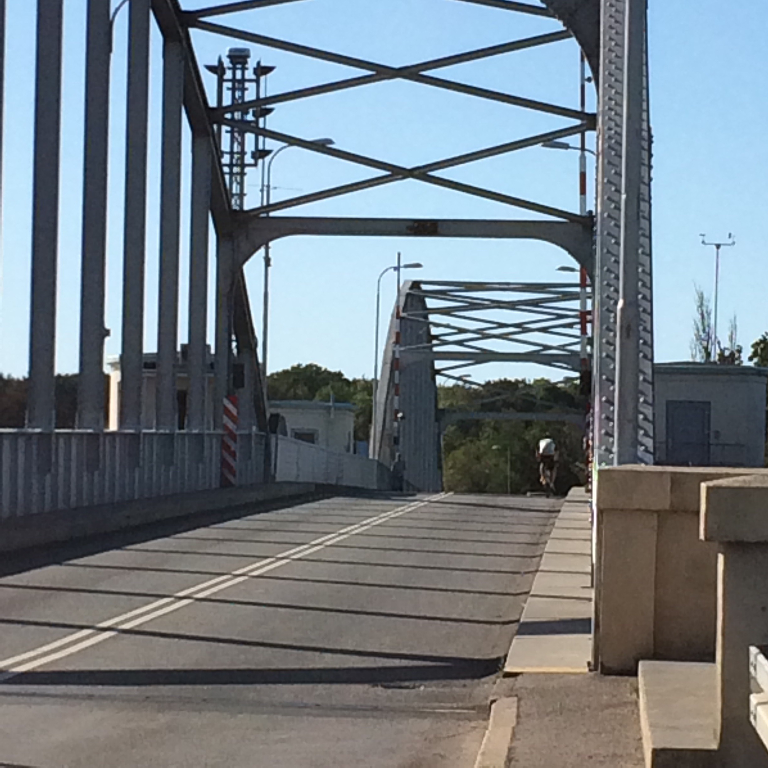
Another tedious bit of straight line riding across the next island took us over a very windy bridge to the final island of the day
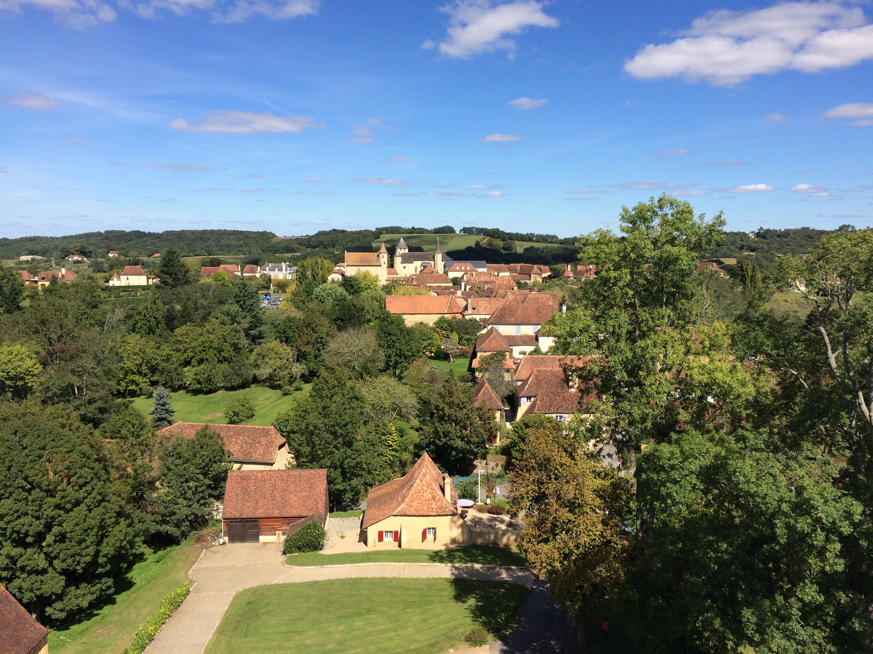
At this stage we were able to find some more enjoyable country roads through farmland to the campsite.
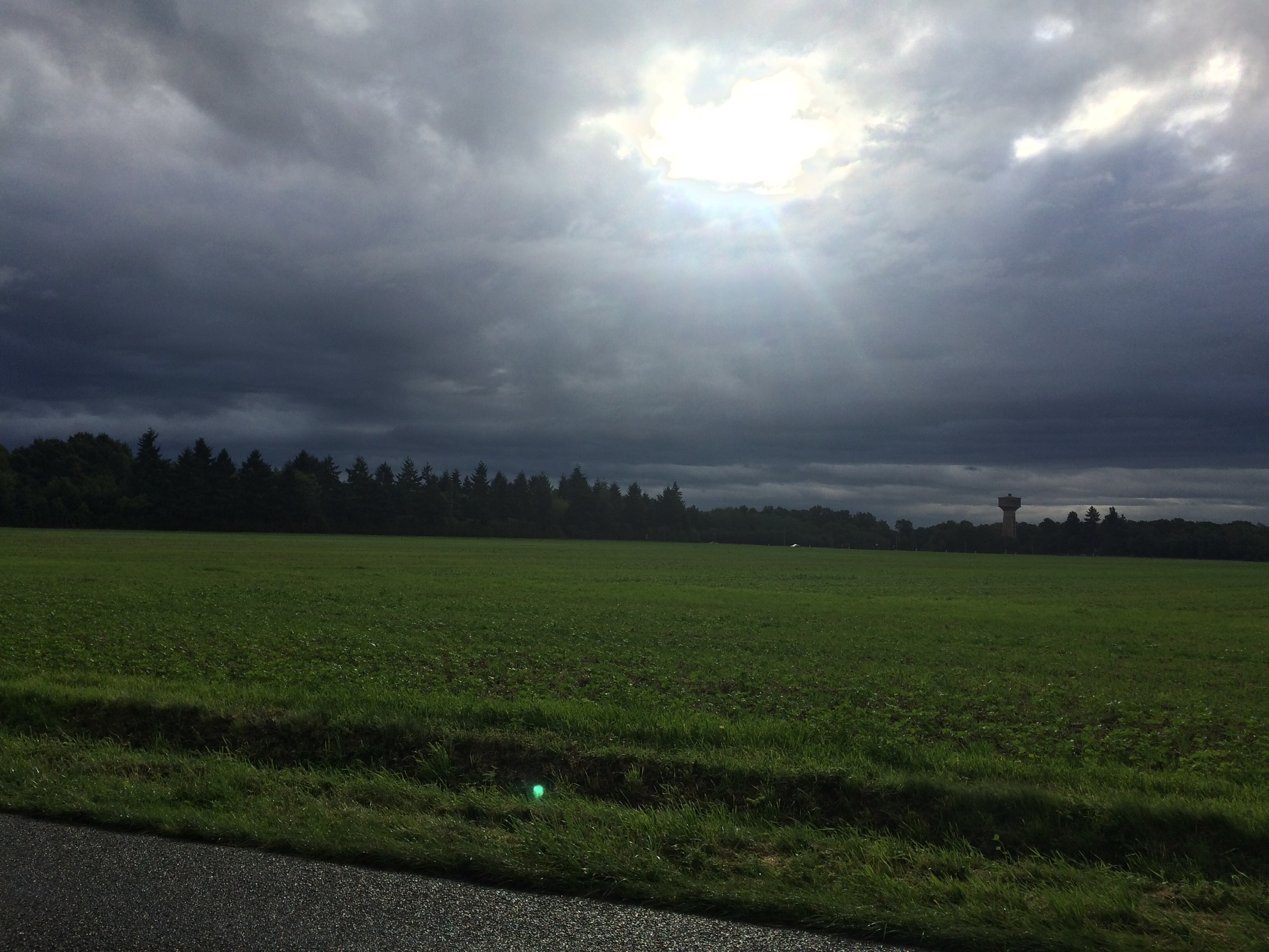
The flat land was mostly laid to agriculture with large fields and very few trees, though I did manage to forage 3 sorts of wild plum, for a fab fruit stew this evening, during our lunch stop.
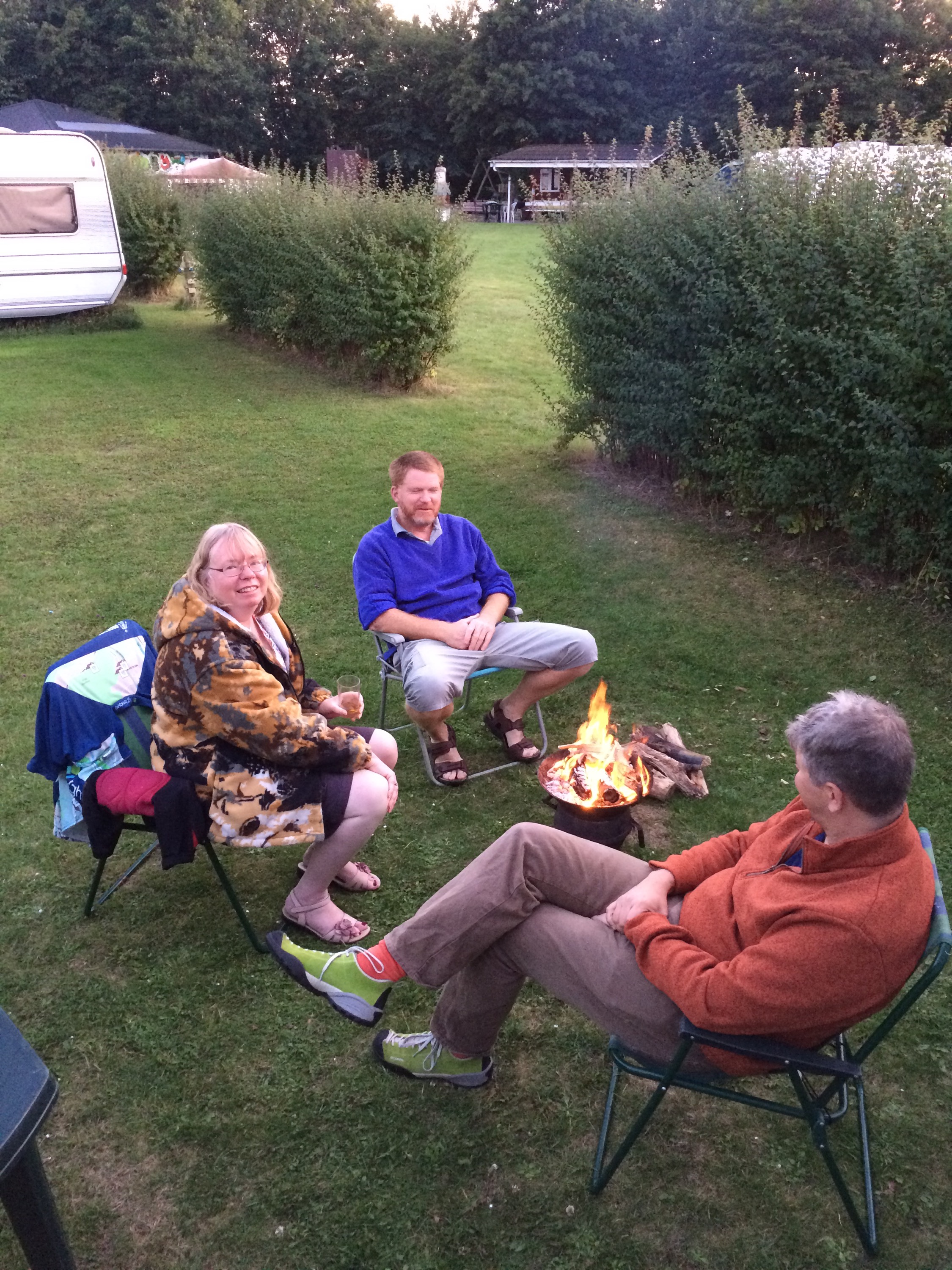
An Evening barbecue was followed by a chat round the camp fire.
It was great to cycle today with Peter, as those straight featureless roads would have been much tougher on your own.
Tomorrow we cross from Denmark to Germany, where Peter will cycle with me before Nigel will take him to Hamburg to catch A flight home as I proceed to the overnight halt.
Halfway: The Race against Sunset
8 September 2015
Gluckstadt,Germany
Day Eighteen 120 miles 2470ft
There are some days that are meant to be long and others that just become that way. Today was the latter. Getting up early and starting to ride at 7am I did not finish riding until 8pm this evening.
In theory, with 1892 miles covered, I have surpassed halfway today and may even break the 2000 barrier tomorrow.
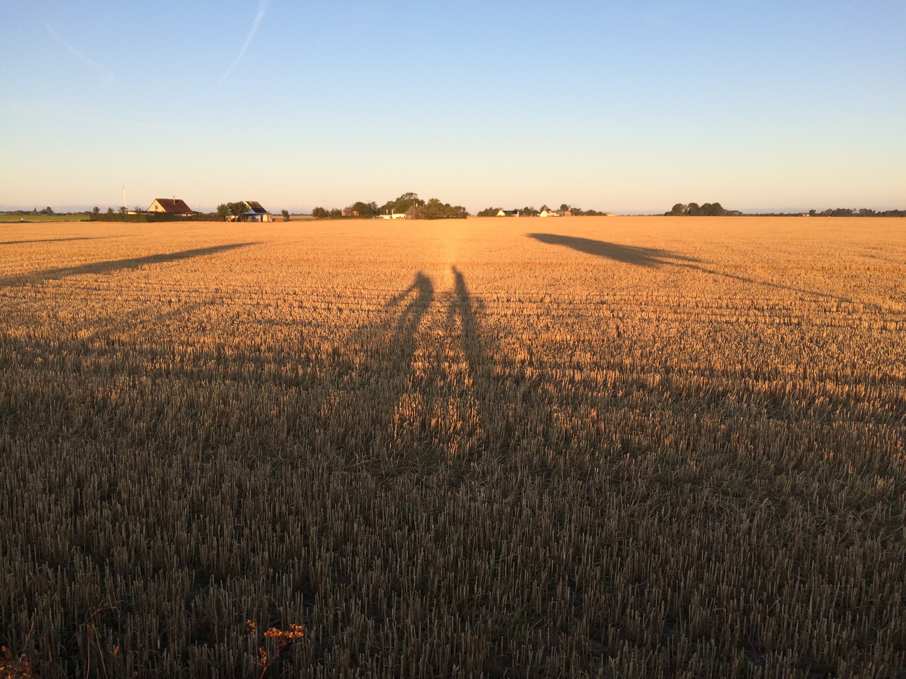
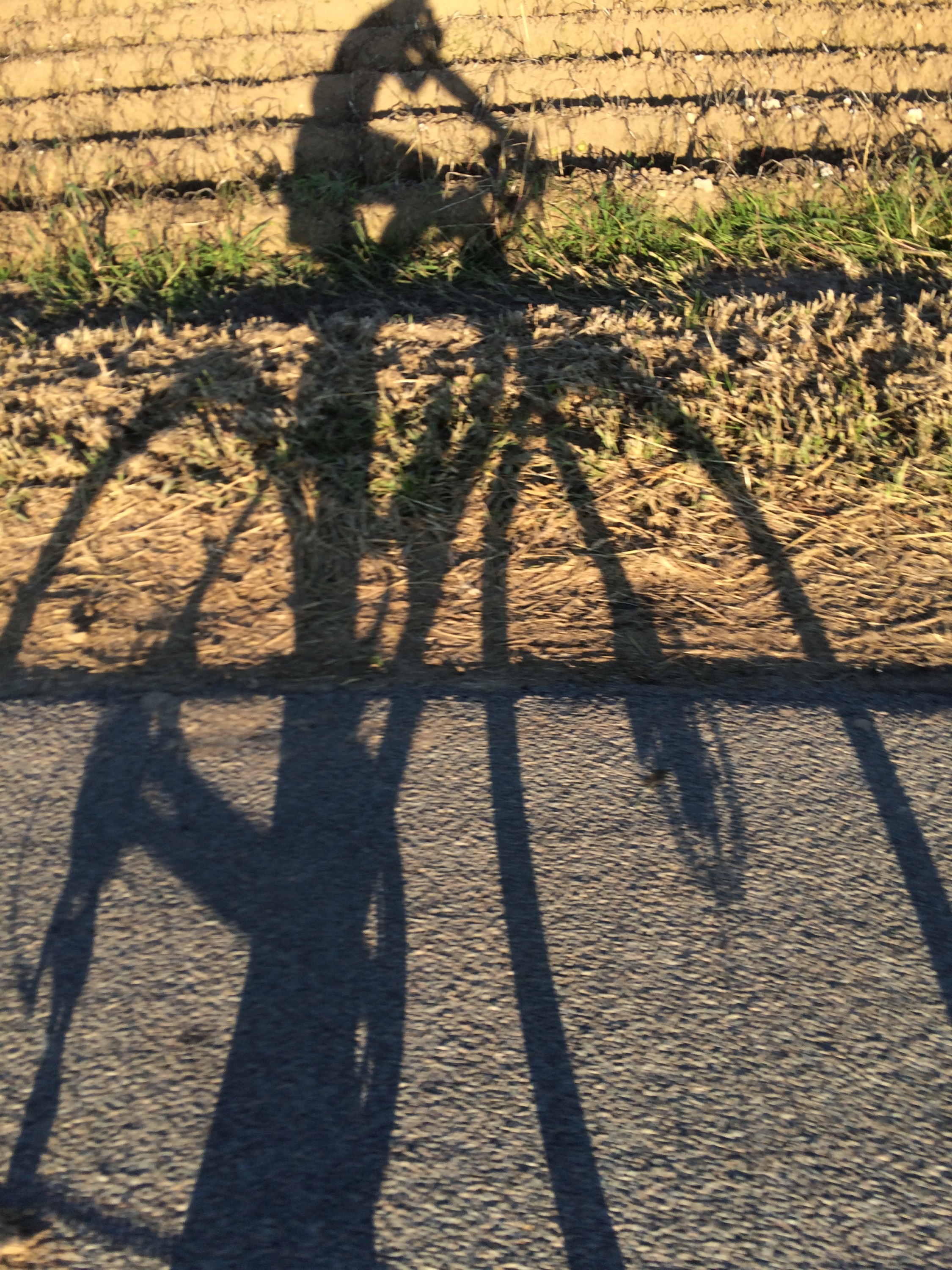
We got up at 6 and Peter and I were on our bikes in cool early morning sun at 7 for our short 3.5 mile ride to the ferry, our shadows spilling across the fields.
Denmark did not disappoint and gave us a flat straight road to finish
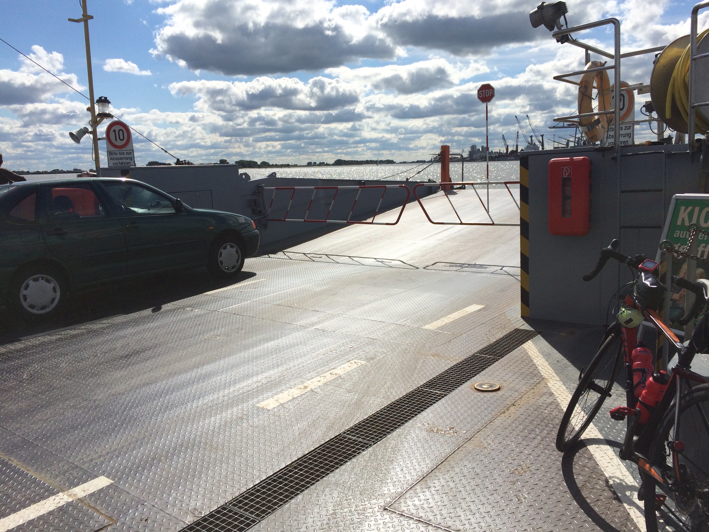
We were booked for an 8.15 ferry but managed to get one half an hour earlier with me hiding in the camper to avoid paying extra. A great breakfast on board followed during the very swift 40 minute crossing.
Rejoining our bikes just outside the harbour we were now on the German island of Fehmarn, which was much like Denmark being flat although the roads had more bends.
Another good bridge took us onto the mainland and the bizarrely named Swiss Holstein. There are a couple of big lakes, but the North Downs are higher. I suppose these small hills seem like mountains in comparison to the flat lands around.
Peter was able to cycle with me until a belated lunch stop, as he needed to get to Hamburg for a flight home. It was really good to share some of the trip with my bro.
The reason we now seemed much slower, was not because of cycling more slowly, but more towns slowing things down, cycle paths requiring the switching of roadsides and checking the map etc. I have a feeling this will be a issue most of this week.
With Peter being whisked to the airport, I now needed to get to our destination. Initially thinking it was about 40 miles a start at 4.30 should not have been an issue, but with delays through towns and the actual distance 55 miles it was going to be touch and go to get there before dark.
Putting on all my bikes lights and keeping to cycle paths where I could, I wanted to get to the camper before sundown dead on 8 pm. It’s not that I cannot cycle in the dark but prefer not to so took this up as a challenge.
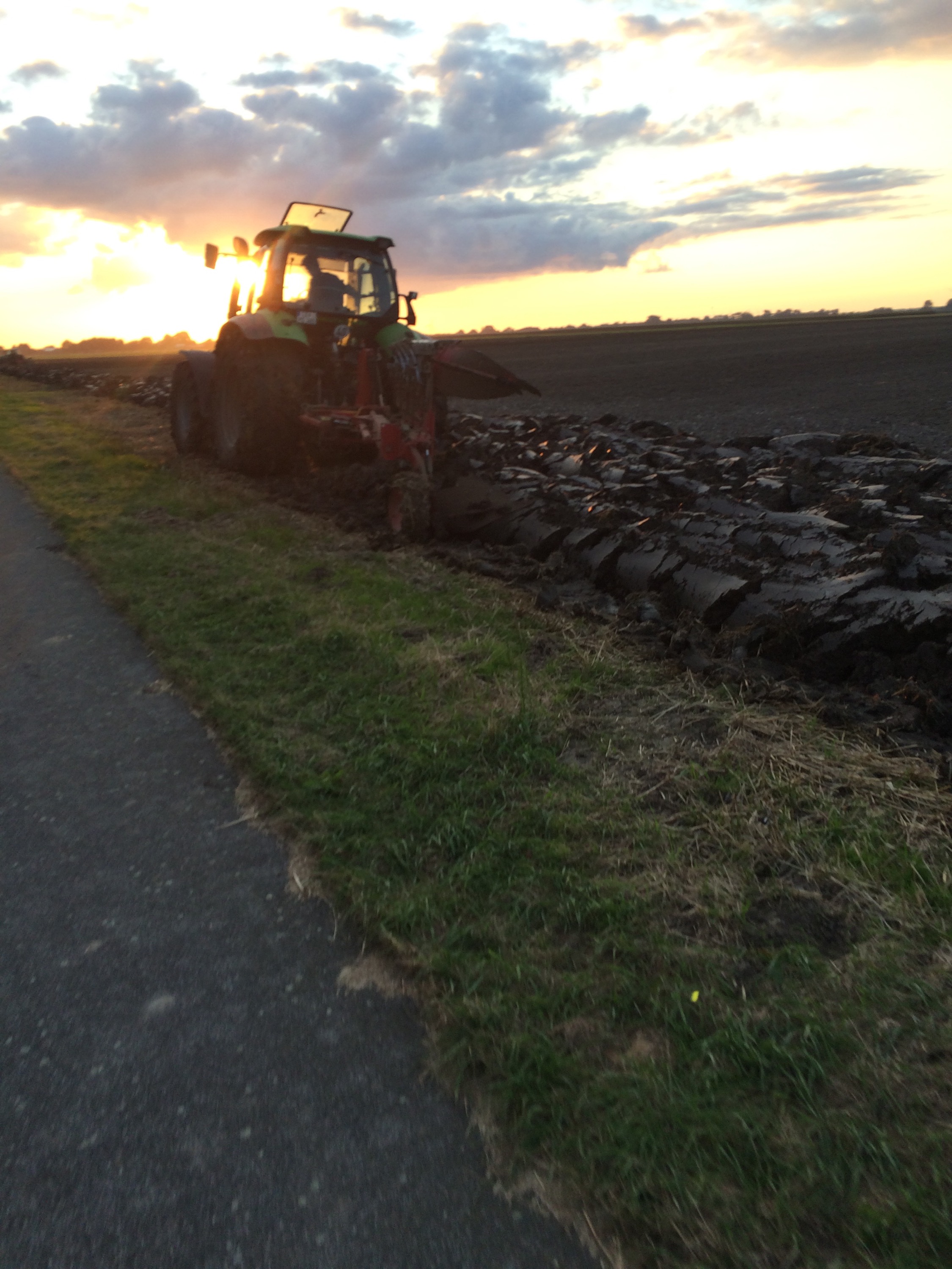
Saw a great deal of farming activity including harvesting and plenty of ploughing, the pleasant wet earth smell lingering in the air.
Having made some minor wrong turns, I was pleased therefore to see the first sign for Gluckstadt with only 13km to go at 7.35. 8.5 miles in 25 mins on the flat, can be done but the sun was getting lower.
Coming into the outskirts of Gluckstadt things were looking good. I was not sure of the campers location but remember it was on the west riverside part of town.
First problem was a closed road, but there was a cycle path through the adjacent park, so I took that, then coming out of there, the level crossing gates were down. Another anxious 3 minutes lost waiting for the train to come past.
Sadly the main road then did not come out by the river, so I had to thread my way through several housing estates to find a road which linked down to the cycle path that runs behind the river levy and to the little harbour where the camping cars are allowed to overnight.
Only 2 minutes left – was my hunch right about the campers location- yes it was, I could see it and got to the door bang on 8.00 in true contrived Top Gear style.
Tomorrow sees another two river Ferry crossings of the Elbe and the Weser. Monica is also hoping to see her German aunt for the first time in over 30 years as we pass close to Bremen where she lives.
Apologies for so few photos today but German upload speeds are not good.
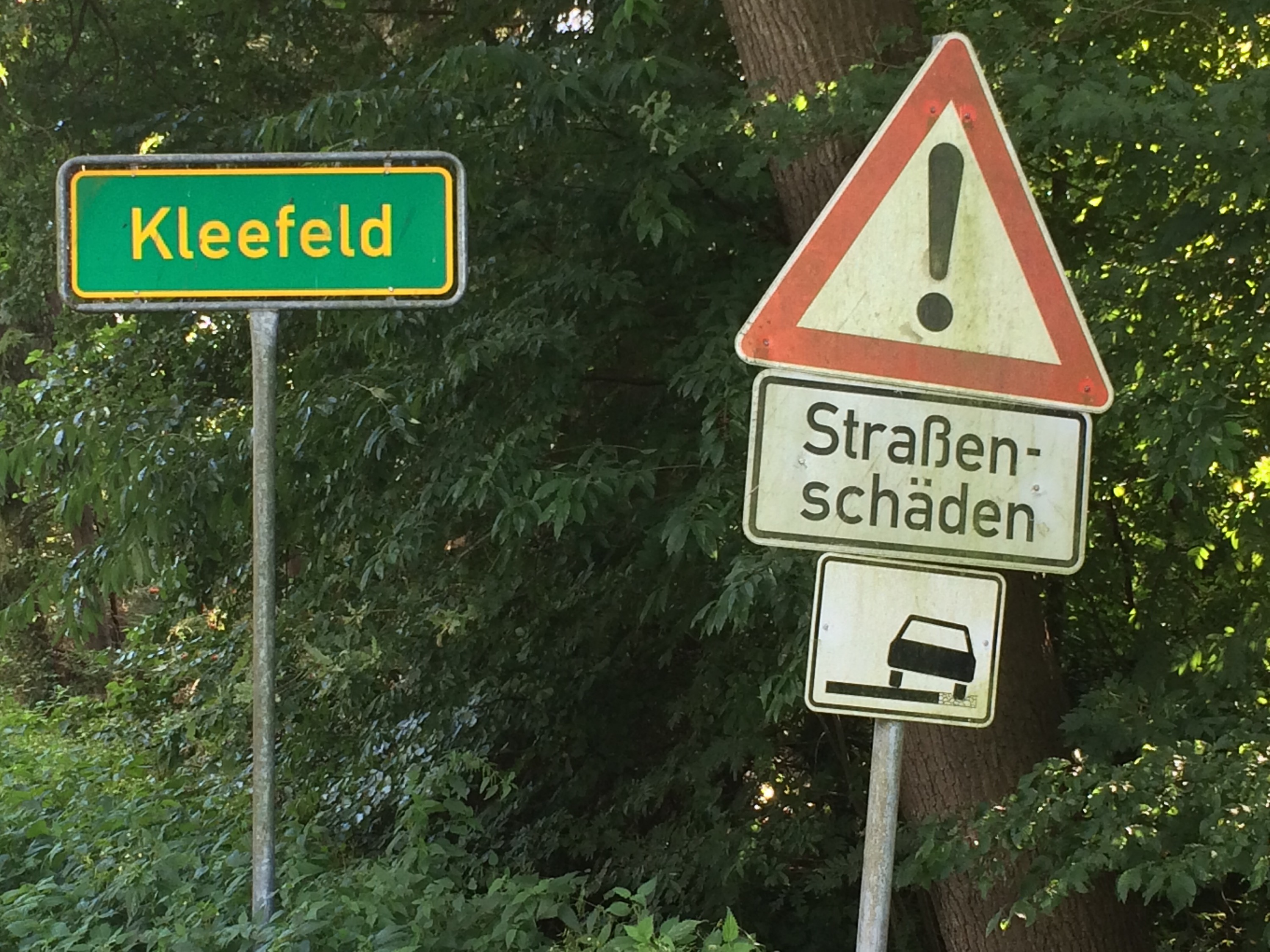
Strassen-Schaden
9 September 2015
Cloppenburg, Germany
Day Nineteen 108 miles 1000ft
Not a shady road or even a cruel friend, but according to Google translate, a hurt road, in real language a knackered road. As I was to find out today not everything German is perfect.
Looking out over the small port from our official parking spot on the wharf, again we were blessed with good weather and had another early start to catch a ferry. This time across the river Elbe.
I had a short 1.5 mile ride along the river levy, where even the sheep were German (the towels were down) and refused to move forcing me to weave in between them as they lay across the path.
The ferry was a good 20 minute trip along and across the Elbe, before I set off for segment one of today’s ride to coffee.
There were no climbs on today’s ride at all, apart from a few bridges over canals, motorways and railways. So in theory it was an easy ride. Certainly it was the least climbing I have done in a 100 mile day.
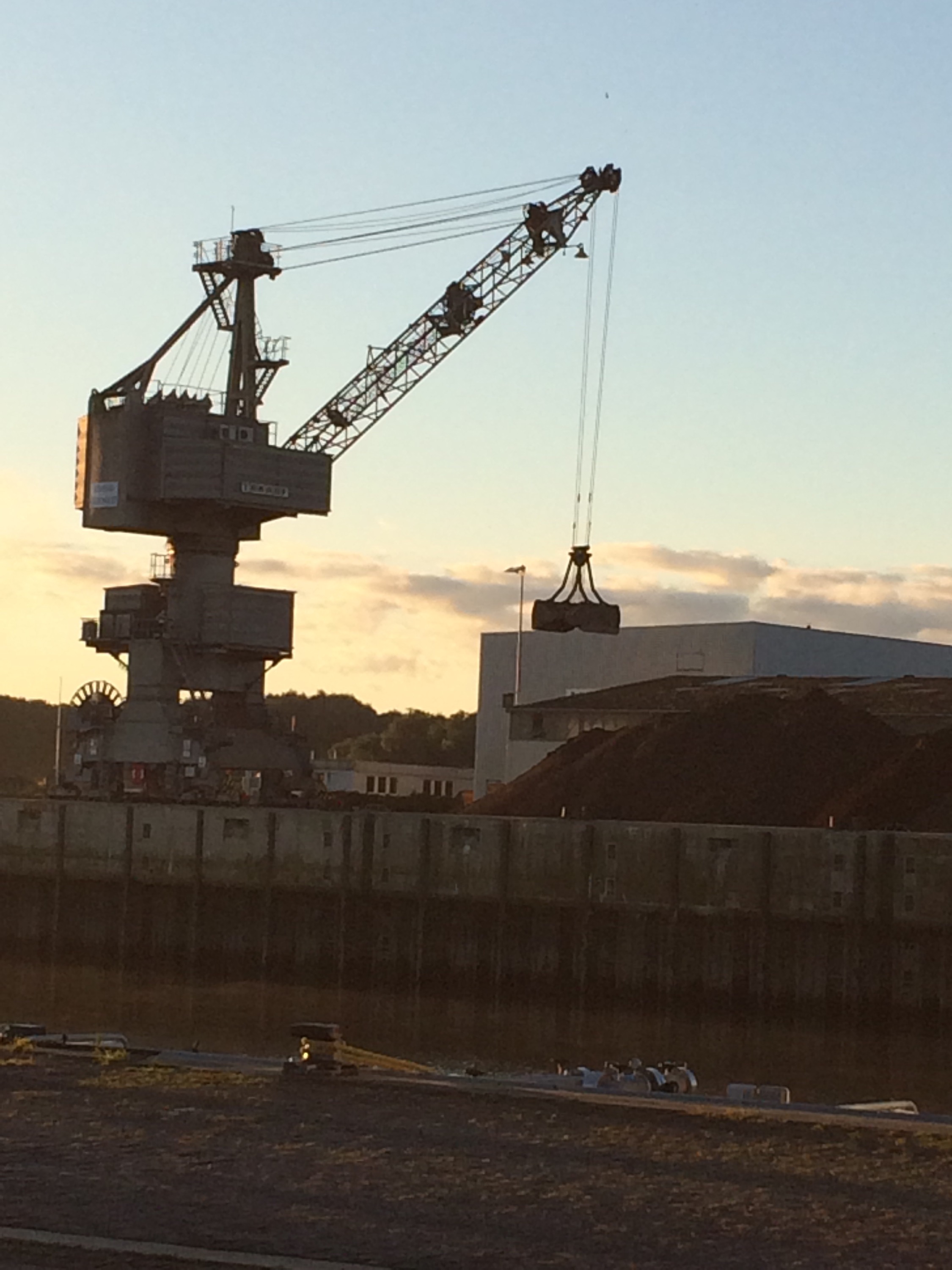
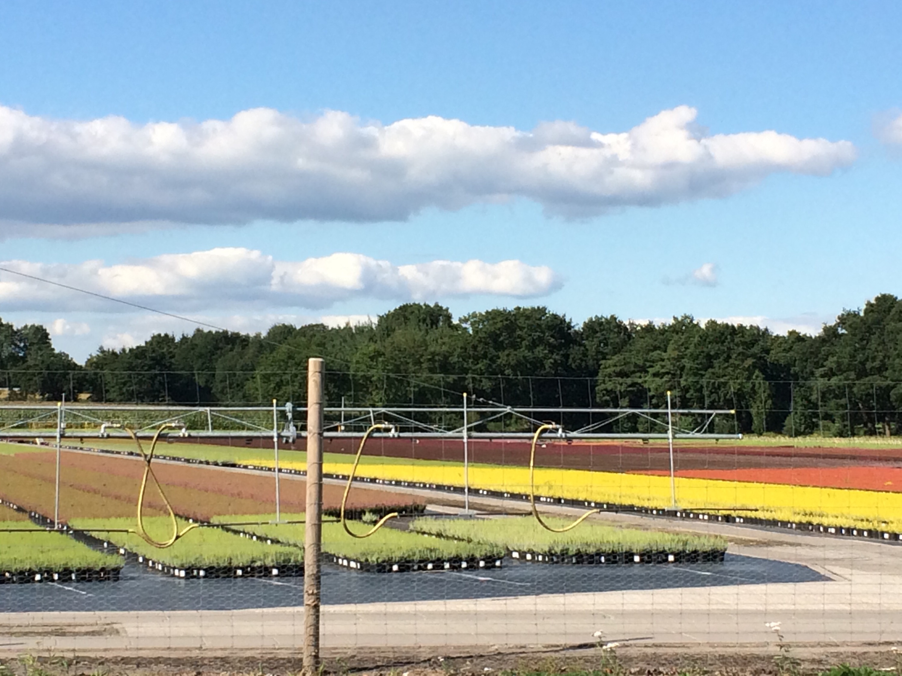
The land was certainly flat and agriculture was either maize or dairy farming. In addition I saw some huge nurseries specialising in acid soil varieties such as heathers and conifers. Judging by the size and number of tractors the farmers do not go wanting. Towards the end of the day I passed a massive peat mine ( not sure of the correct terminology) surrounded by no smoking signs, which explains the number of nurseries.
After our coffee stop Nigel and Monica made a short detour to meet up with her aunt for the first time in over 30 years – an emotional experience for all.
This meant that for once, I had to fend for myself at lunch, but now that there are frequent towns it was not too difficult to find a bakers shop to sit down and have a coffee and Pflaumenkuchen, excellent.
Most of today has been on cycle paths running alongside roads which in the main are excellent, as they keep you away from the speeding traffic and lorries, only tree roots causing nasty ridges to jolt you and slow you down. Whilst they are superb the only issue is that often the path goes into the village on one side of the road then switches across out the other side, often requiring a last minute dash across the road and the grass verge.
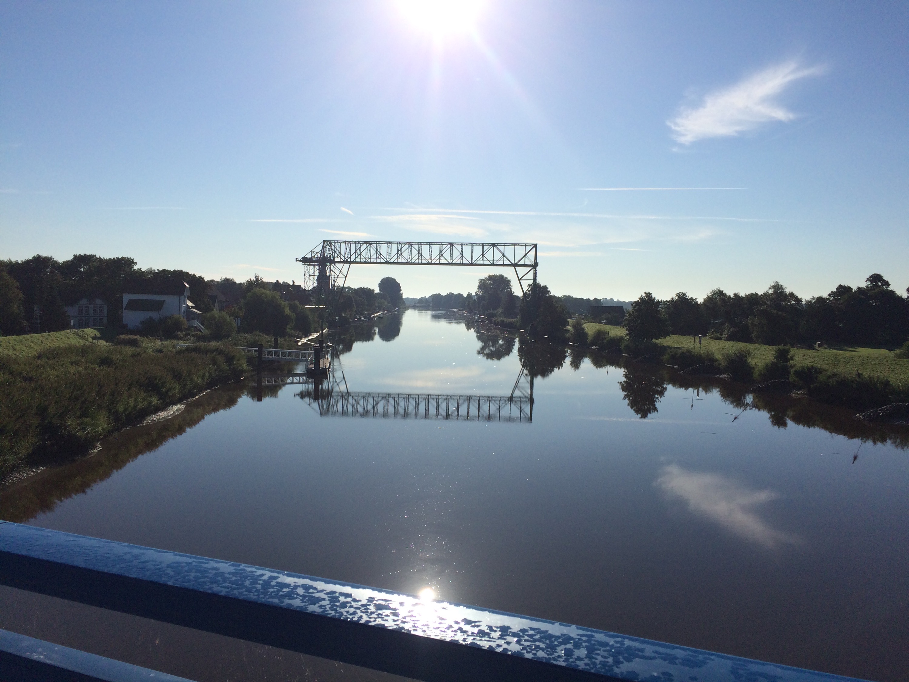
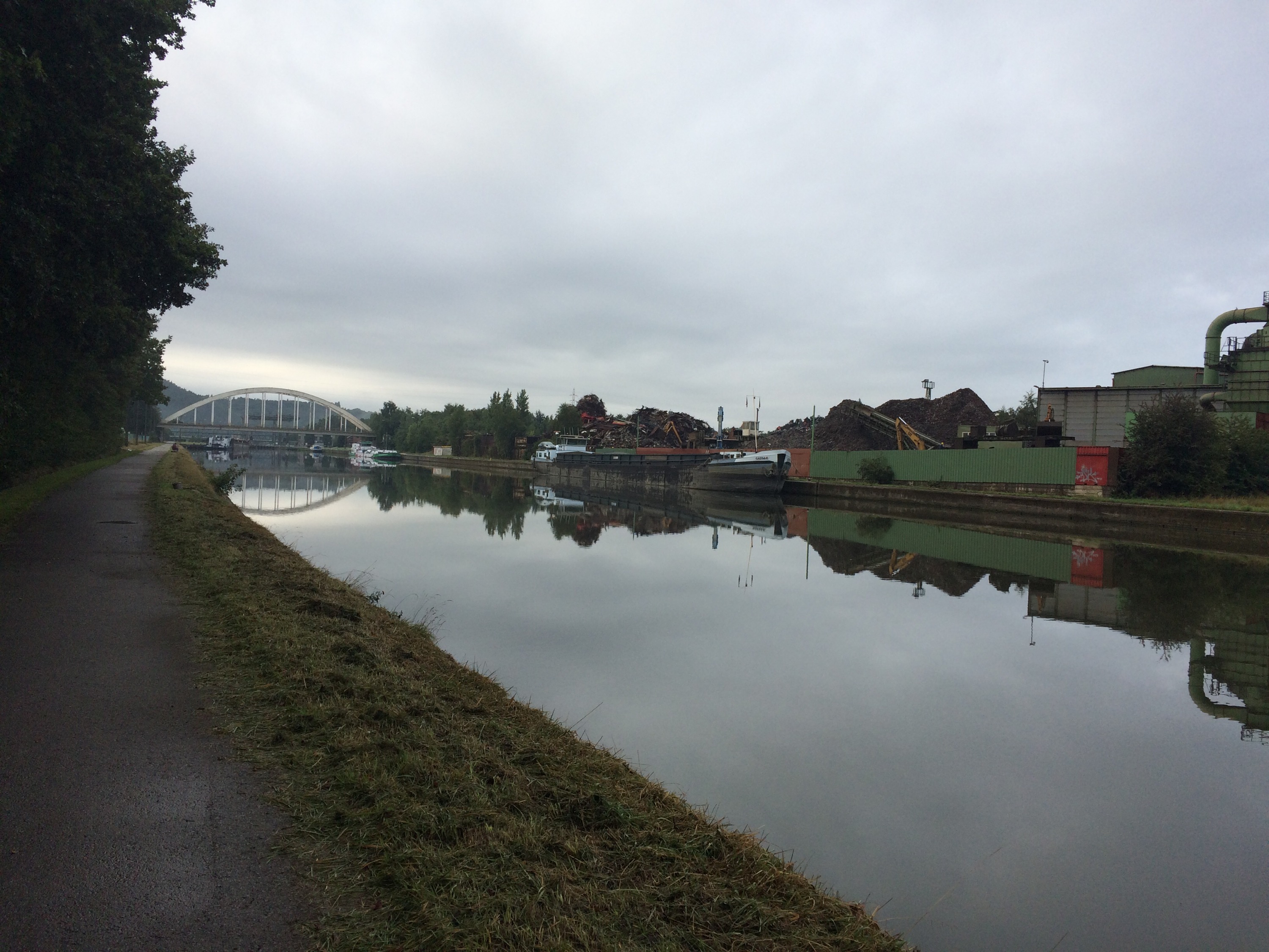
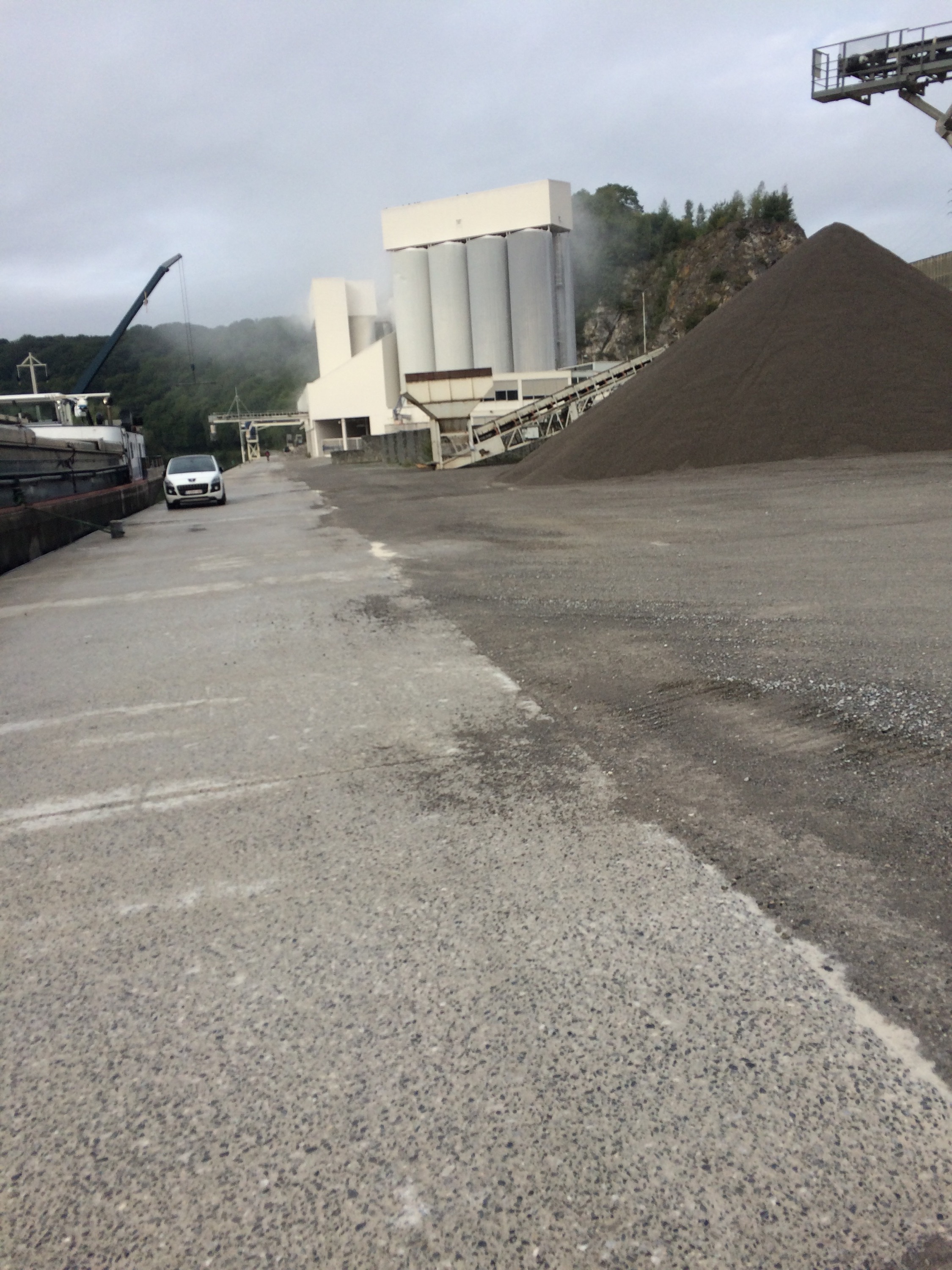
A second ferry across the Wesel river saw it run for just me on my bike and two cars.
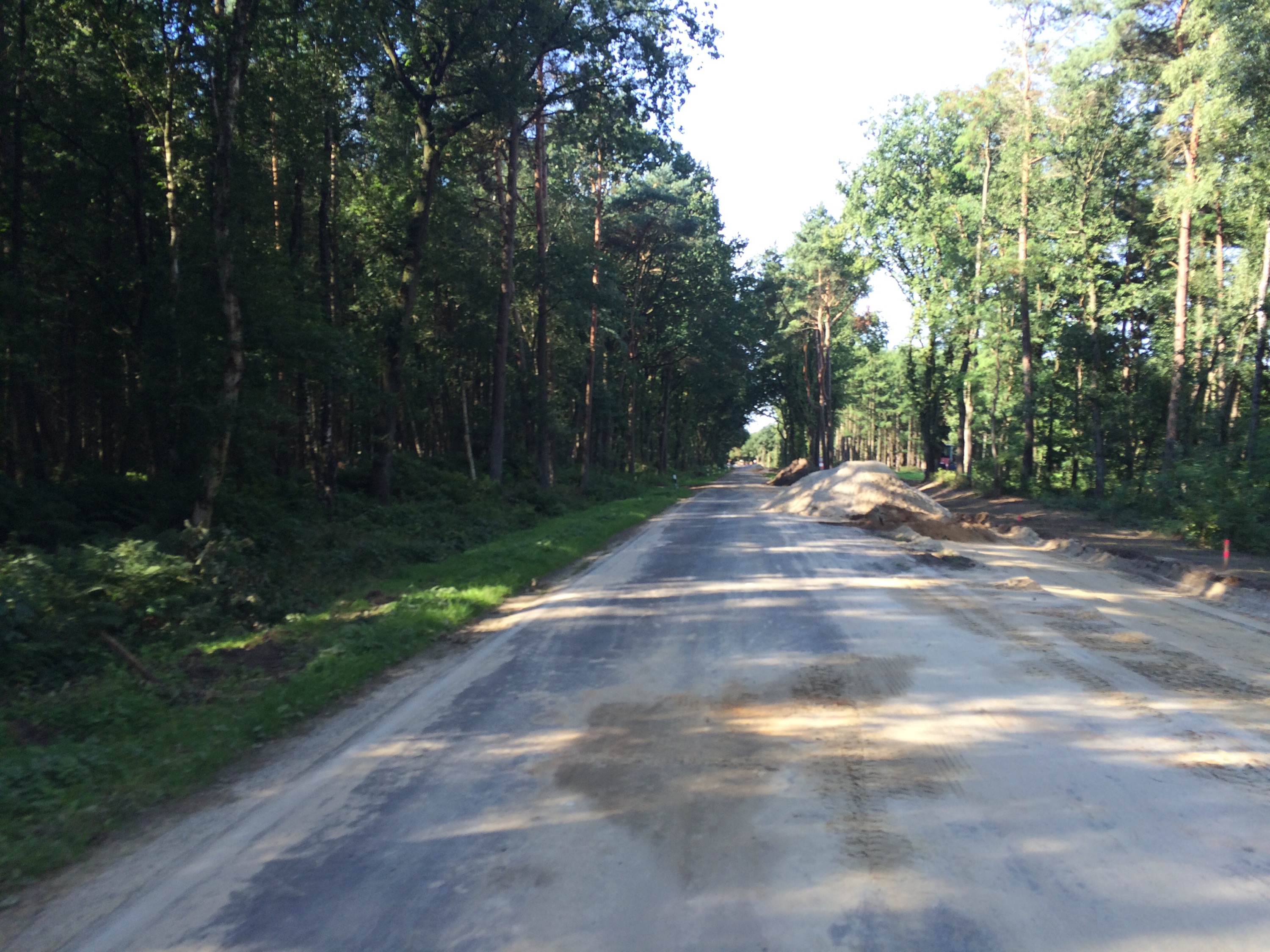
If anything the countryside got flatter, but the state of the small country roads made the UKs seem brilliant. The standard warning sign at the start of almost every road junction was Strassen-Schaden. To be honest that was right. I have never seen so many different issues with roads in a very bumpy 30 miles. There were two inch wide cracks (many just filled with tar creating graffiti like patterns on the road), edge subsidence, potholes, just gravel, washboard Tarmac, and worst of all, a section for 5 miles made of of blocks, looking like someone’s drive, which caused everything to vibrate like crazy.
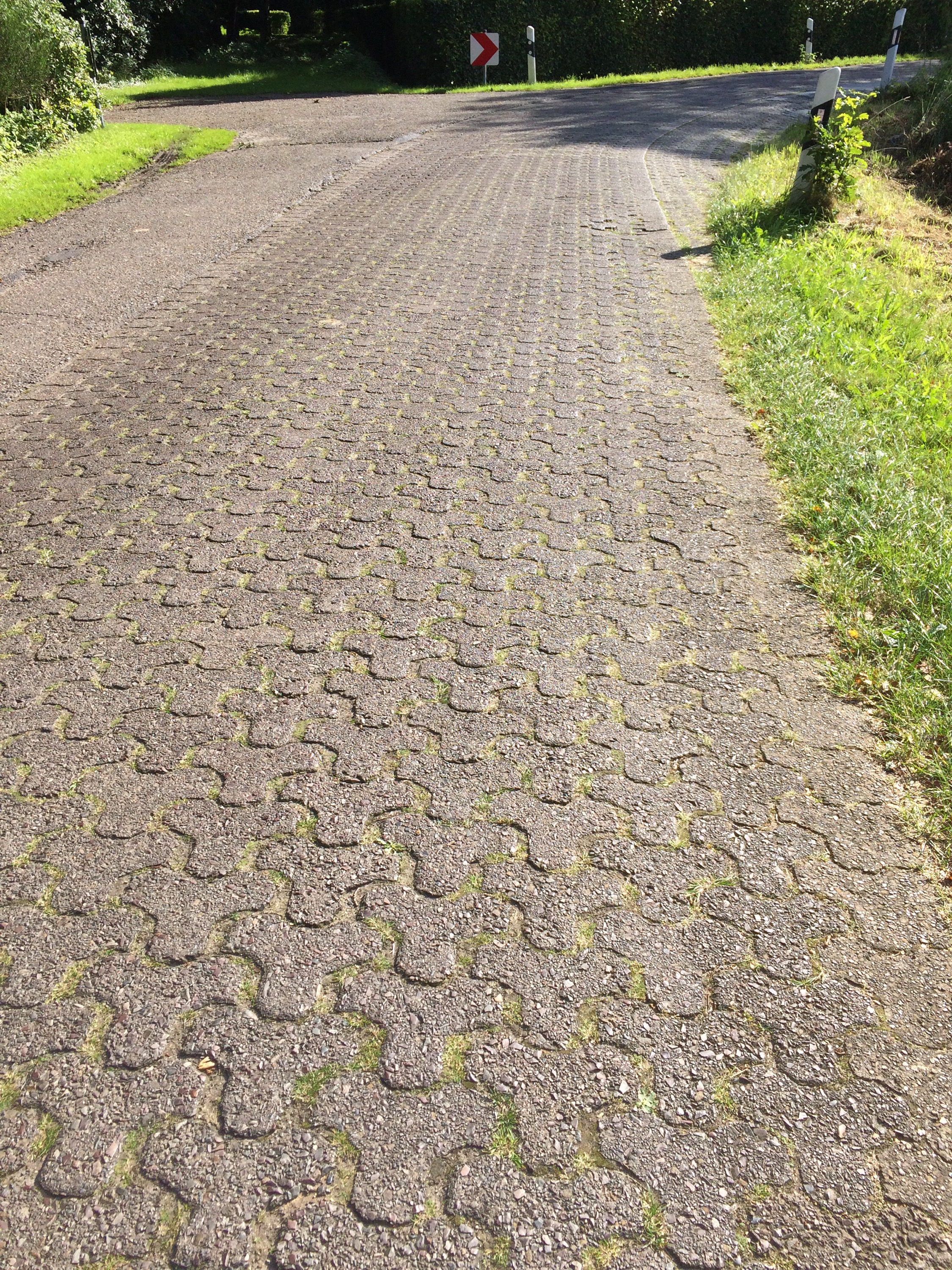
My apologies for going on about the road surfaces but with tyres pumped up at 120psi a cyclists relationship with the road can be very intimate and all consuming!
A pleasing day, as it was dry and I got another 100 miles done, and 2000 miles completed on the trip. The final total is looking more like 3800 to 3900 miles at this rate An earlier finish tonight just after 6 allowed time to do a check over the bike ready for tomorrow
In someways it is good to prove that the Germans aren’t great at everything. It is disappinting though that as well at these roads the 3G seems non existent, so a comprehensive blog with pictures may have to wait.
Tomorrow sees us cross into Holland. We are flying through these countries now.
Dutch Delight
10 September 2015
Doesburg, Netherlands
Day Twenty 117 miles 551 ft
First impressions count so they say. Well Holland has made a very positive impression on us for this trip.
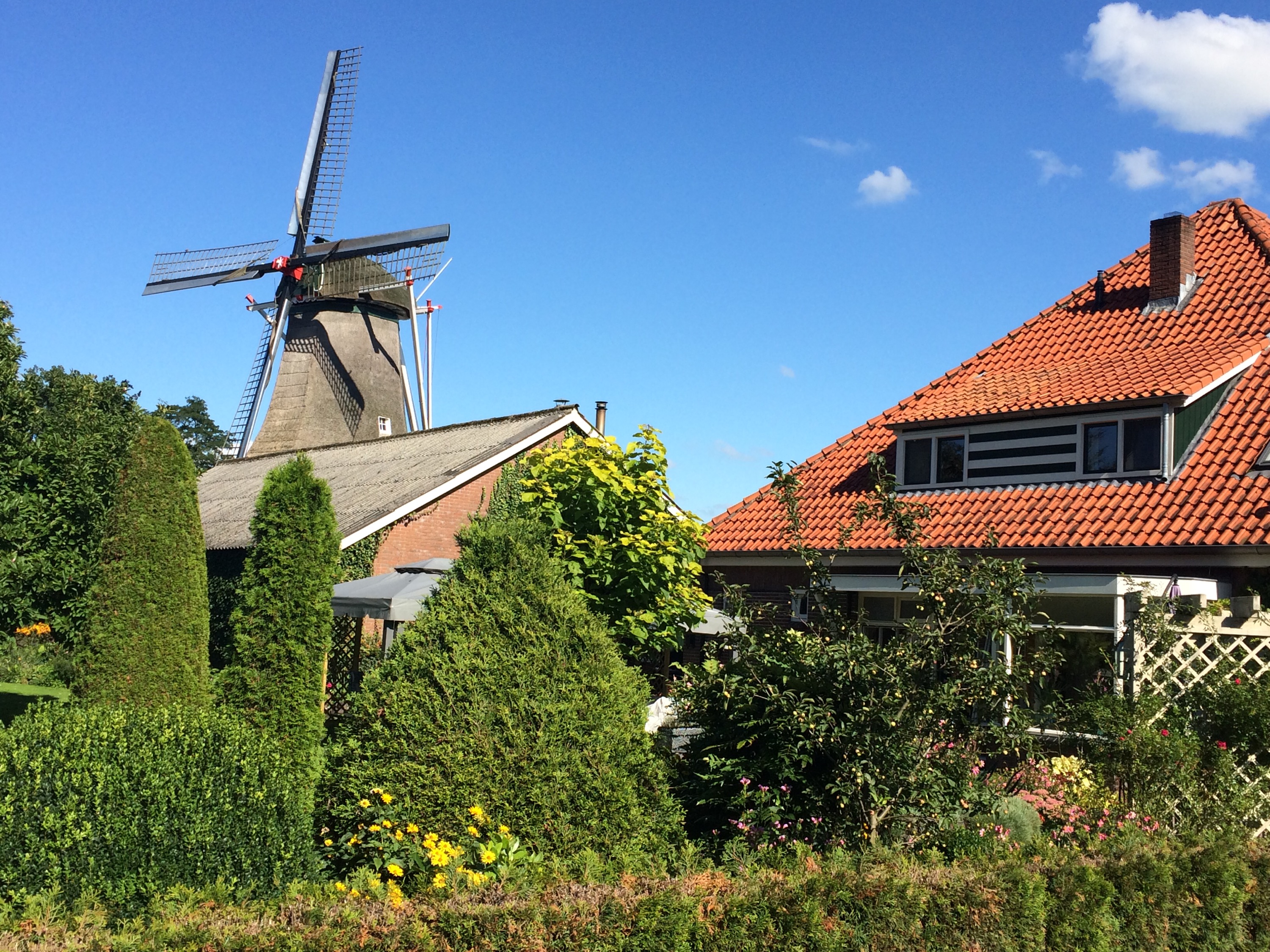
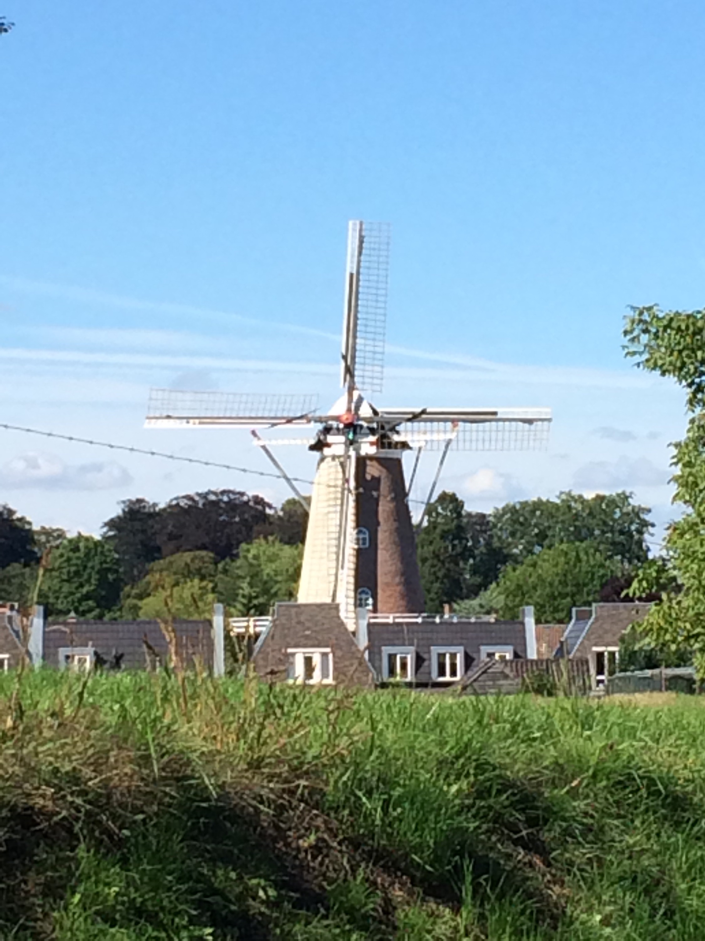
In theory. the land is no different to that in Germany, flat and uninteresting, but here there are bends, small fields, trees and windmills. The Dutch look as they have fun, as opposed to the ruthless efficiency of their German neighbours.
Having struggled by just using maps over the past week and the choice of routes in each town getting greater, I wanted to use the hours spent at home over the past year planning the route.
The problem with the Garmin was it freezing if it was used for routing as well as recording. So if I could use my spare one for the map the problem may be solved.
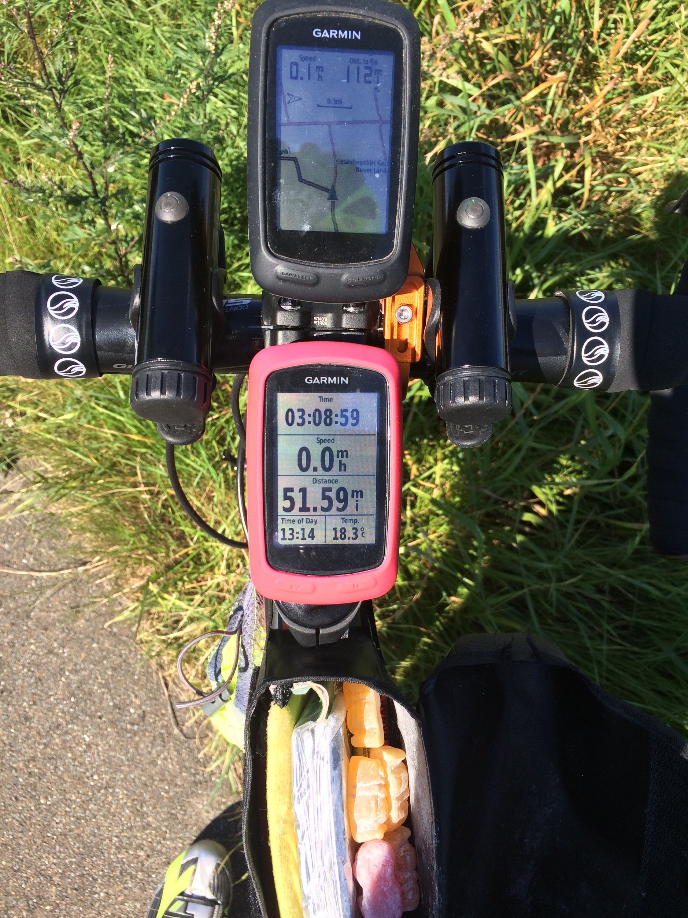
With a bit of rearrangement this morning, Nigel and I reconfigured the cockpit of the bike as below
Note, map on Garmin one, ride details on Garmin two, two LED flashing lights, easy access crossbar bag – housing, emergency blanket, energy bars and the all important jelly babies. All inner tubes and tools carried under the saddle.
The new set up worked a dream, the only issue is that we now have to ensure that I charge up 5 items overnight!
Because of this faffing around I did not get started until just after 9am.
A cold morning, but no rain forecast once again, it was off on mainly cycle paths alongside straight roads.
Fairly tedious riding, with the Garmin mostly ok, but occasionally choosing a mud path instead of Tarmac.
On one such occassion the main road was closed, but my route was adjacent, which was fine until it became an impassable sandy track. Returning to the main road, I saw a chap who looked like the main engineer draw up in his car and asked if I could cycle down his closed road. His reply indicated that it was ok, ironically the road was closed to allow for the building of the cycle path alongside!
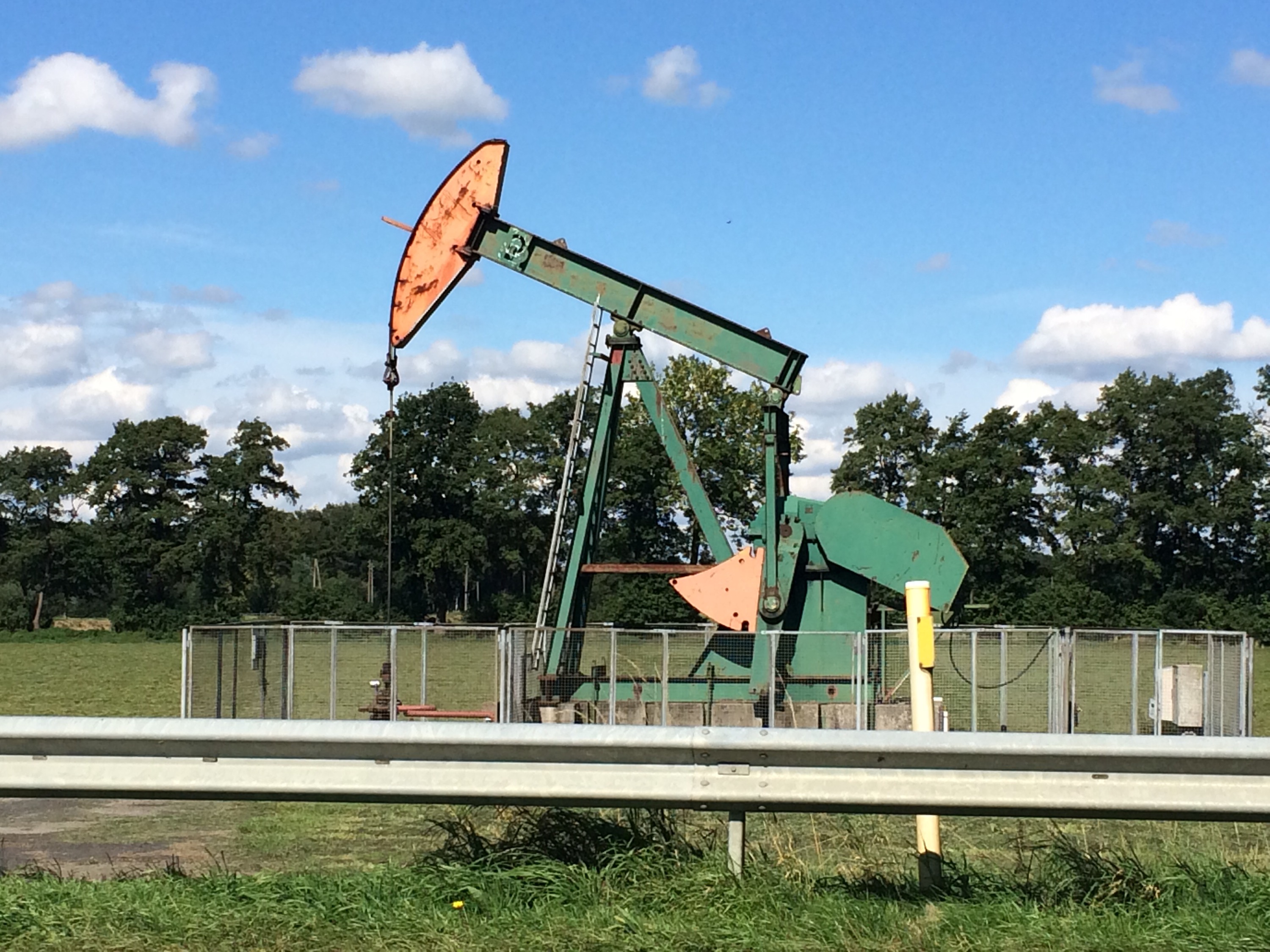
Moving to the edge of Germany , I was surprised to see the maize fields dotted with these nodding donkeys courtesy of ExxonMobil. I had not realised that there was a small oil field here.
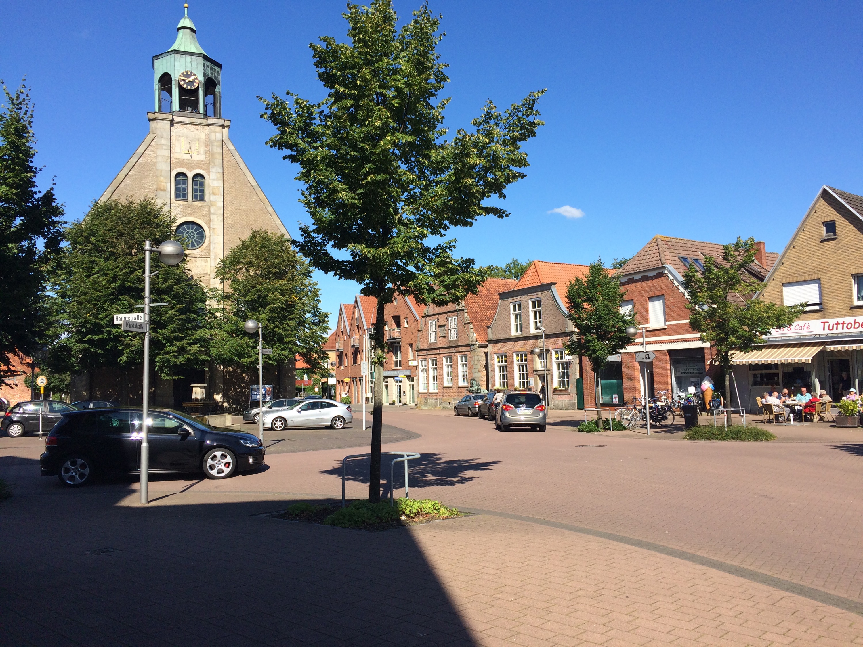
Now the Garmin is up and working, the advantage is that it takes me right into the heart of every town. This was the pretty centre of Neuenhaus, the last town I went through in Germany.
As with all Europe the border is passed without fuss, just like crossing a county line and lunch was taken just inside Holland.
Although the crops were the same-it’s not worth scrumping maize by the way-the roads have corners, fields are smaller with hedges and cycle lanes abound, just making Holland so much more friendly.
The cycle ways were full of the recently retired, in pairs or groups bumbling along from cafe to windmill, seemingly enjoying themselves. Not sure how much of that you would see in the UK unless we had the safety of cycle paths.
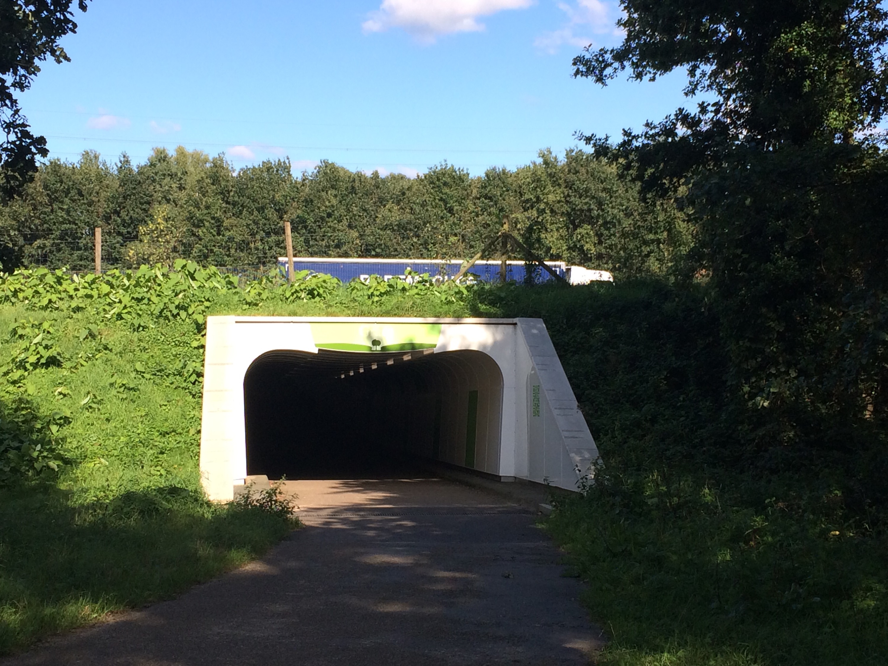
Dedicated cycle tunnels and bridges under roads are common. This is the best one under a motorway
As the route was again a bit longer than expected, a quick tea stop was added, which was rudely interrupted by a big skid and crash, as a van piled into a car that had pulled out in front of it, just 50 metres up the road. At once, Nigel & Monica in policeman and doctor mode, went to the scene, where happily the air bag almost certainly saved the van driver from injury, and no serious harm was done, except to two very bent cars.
The final 22 miles to the campsite were blasted along under a cloudless sky, and a very good day was finished with another barbie.
It’s Friday so it must be…………….. Belgium
11 September 2015
Hasselt, Belgium
Day Twenty-One 110 miles 797ft
This is the fifth country we have been to in 7 days, but is it really a proper country?
Cycling through a Dutch town, I noticed that the car number plates on people’s drives changed from Dutch to Belgian – there was no fanfare- Welcome to Belgium.
The Belgians were all very polite, but said sorry every time I asked them to move. In general everything is a little bit scruffy and requires a bit of TLC.
Today dawned cool with clear blue sky and it was to stay that way making it the warmest day since leaving the Arctic!

Leaving the campsite just before 9 and cycling along the top of a dyke towards Doesburg I managed these great shots.
The route then took me through the famous Second World War towns of Arnhem and Nijmegen, known from the film “A Bridge Too Far”
This is the identical replacement at Armhem and below is a shot from the similar bridge at Nijmegen
As ever the cycling was flat, apart from the bridges, but progress to coffee was slow, as I had to go through both of these big towns, stopping and starting at all the lights and being prepared to race off with students and increasing numbers of Lycra clad middle aged chaps like me when the lights went green. In addition getting caught at two level crossings which are also very common.
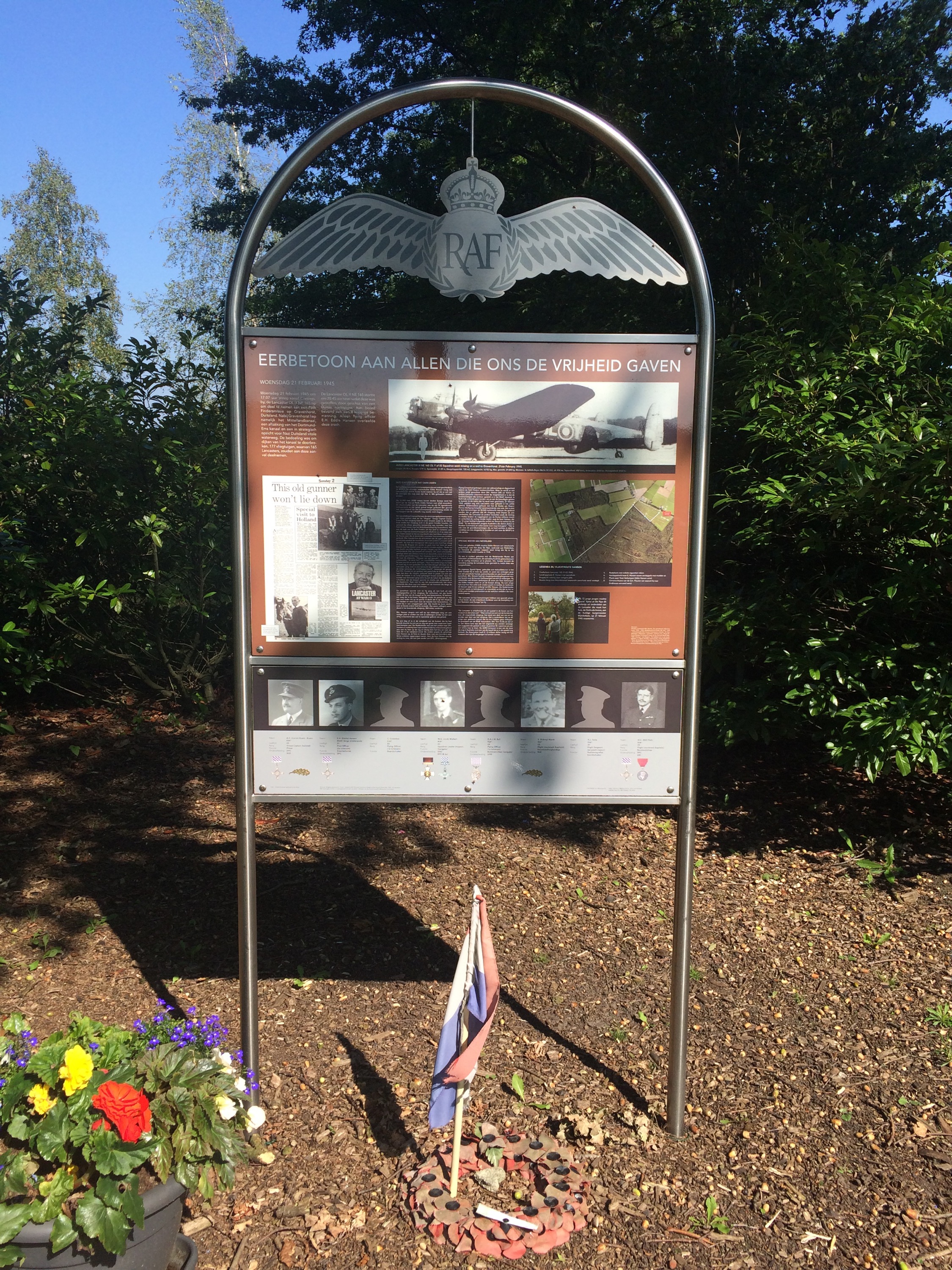
Continuing the WW2 theme this small roadside memorial told the story of a Lancaster shot down in February 1945 and how only the Australian tail gunner survived. He successfully campaigned to have this erected in memory of his lost comrades.
Passing through several more attractive Dutch towns and admiring some of their nice buildings. Nigel joined me for the last couple of miles, before a very late lunch and we struggled to keep up with a granny on her bike. It was only when I sped up and chatted with her that she said she had an electric bike-she was well chuffed anyway.
As I said earlier, leaving this Dutch town, moving into Belgium happened unnoticed except for car number plates and unfinished pavements, otherwise much was the same.
At this stage I fortunately found this cycle track after the Garmin broke again. This then kept me off the unreasonably busy roads for the final 20 miles, but crossing one was only achieved after more than 5 minutes when a kind driver stopped to let me across.
The campsite tonight has a good selection of beers. We stay in Belgium, cycling all day again tomorrow, as the next rest day is not until Monday.
The Day the Route met it’s Waterloo
12 September 2015
Luttre, Belgium
Day Twenty-Two 82 miles 2684ft
Obviously Belgium was not happy that I had been rude about it yesterday, as for the first time since Sweden, I encountered both rain and hills, as well as some Belgian specialities which I will mention later. ( not chocolates or beer)
The forecast was for a bit of light rain later in the day, but segment one was run totally in the dry and even some sun.
Although built up, I generally had a good run after initially running on cycle paths then through the pretty pedestrianised centre of Hasselt
Coming out of the town I saw Nigel and Monica in the camper at the traffic lights, but I had a green to cross in front of them so managed to keep them behind for a bit by riding in the road!
Still mostly on cycle paths, this segment to coffee went better than hoped and I reached first stop on time
Running through the next town I saw this sign Sadly I did not have time to stop, but makes you think what really is on offer?
It was now that the weather changed. Despite the clouds being relatively high, the rain started and got harder. In addition the route got more complex through what seemed to be one village running into the next and then to add insult to injury some stretches of famous Belgian paves
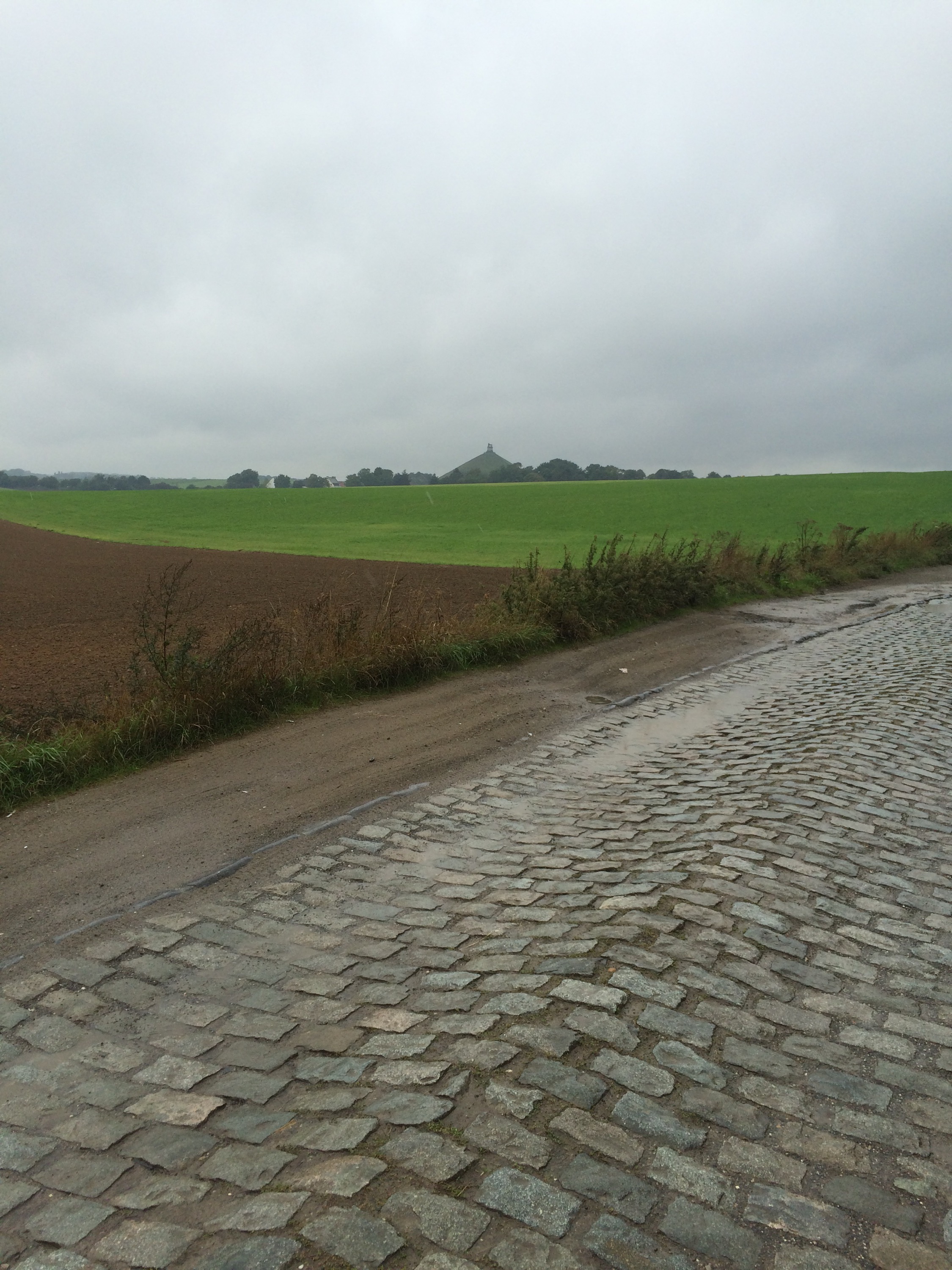
Ok in the dry, if just very bumpy – I could feel the muscles vibrate inside their sheathes – but really lethal in the wet, especially as the top picture shows, with a fantastic crown on the road. This meant running on the ridge or in the furrows with the back tyre slipping and sliding constantly particularly on uphill sections.
Holding the front straight too was a real challenge. My hats off to the TdF guys and I can see why Chris Froome does not like the paves.
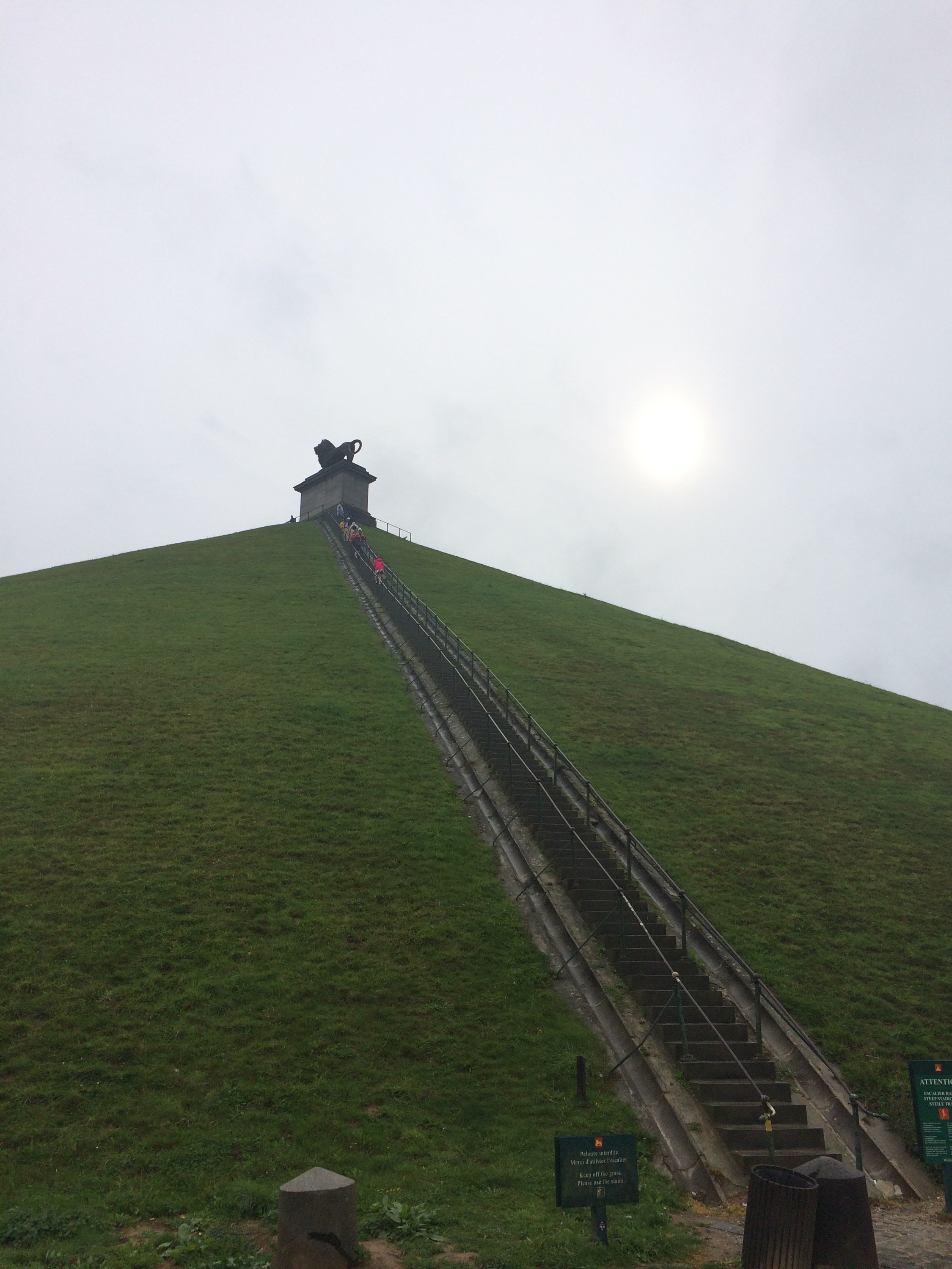
This meant that the lunch stop at the battlefield of Waterloo, was not reached until well gone 3, 200 years too late. A change into dry gear and lunch was followed by a trip up the Butte du Lion mound Something that displeased Wellington as in creating it they destroyed the contours of his battlefield.
A trip round the museum and the best 3D museum film I have ever seen, meant that it was almost 6 by the time it came to leave.
Deciding to reduce mileage for the first time this trip, as I was not keen to run in the dark and wet in such built up surroundings, saw a short 16 mile segment in yet more rain to a hastily found campsite with the most powerful showers ever.
This means that tomorrow could be a 125 mile day or we may decide to eat a little into the planned rest day on Monday. Sadly the weather forecast for the next few days does not look favourable and the inside of the camper looks like a washing line.
Wish me luck.
Le Vent
13 September 2015
Beine-Nauroy nr Reims , France
Day Twenty- Three 113 miles 4216 ft
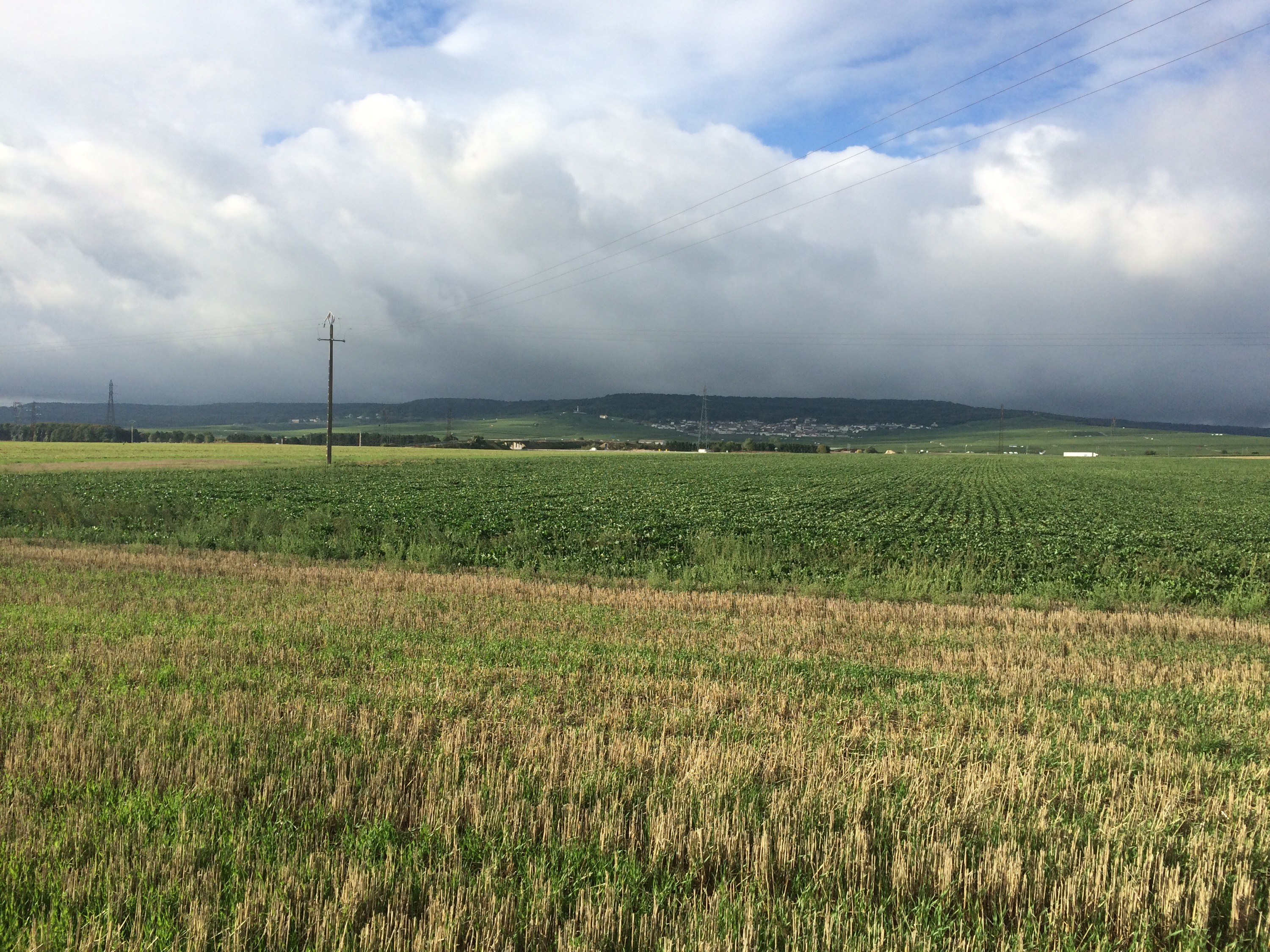
Apart from a couple of very brief showers, today was dry so the shower proofs were not required for long. However, after crossing the border into France the strong headwind became a real issue and took at least two miles a hour off my average speed, as well as making riding that much harder, especially over some featureless agricultural land with no shelter in the form of hedges or trees. We find ourselves therefore parked up a track hidden between some trees, about 25 miles away from the intended campsite.
Today has been probably the hardest cycling day of the tour because of the wind and the reason we did not make our destination for the day.
The day started well, as we were camped next to a tow path cycle route,that took me through some of the industrial parts of Charleroi, not especially attractive, but interesting nonetheless.
At one point,I had to dismount for about 20 metres as a huge pile of gravel had spilled over into the towpath, just as I came up to overtake a fully laden cyclo-tourist. This gent from Avignon had cycled to the top of Denmark and was making his way back to Lille to catch the TGV. He thought I was mad to contemplate this trip on the skinny tyres I have.
Talking TGV, I caught up with a group of older mountain bikers split into two groups of three. Briefly chatting with one of the guys at the back, I then moved past, but the others had not heard so the first guy yelled ” attention Arthur un TGV arrive!” In order to let me pass.
The tow path took me along to the town of Thuiles, where I was able to join the Belgian RaVel ( rail velo route) which runs for 30 miles or so.
Just like in the UK, but here with old electric trains and not steam, the enthusiasts in full gear, play with the their full sized electric train sets!
The run along this track was great, as I did not have to think about the route, and aside from a few walkers near to the occasional town it was traffic free. The only thing that slowed you down was the frequent road crossings and negotiation of the zigzag barriers at each one. This track took me almost to the agreed coffee stop at Chimay, with only a. little bit of road for the final couple of miles, where after a long 46 mile first segment, we had our pit stop in the pits, on the occasionally used road circuit
Once upon a time this was a legendary fast road circuit like Spa but after a fatality a much shorter 2 mile circuit is used only a couple of times a year, although it looks much better than when I last passed through on a cycling tour three years ago.
Just round the corner from this, a classic car rally was having a break at a local restaurant and a chap in his car insisted I took this photo of an old timer, with a sticker on the back saying “en rodage” meaning running in.
From Chimay to the French border is not far and just like with Holland, Belgium has no goodbye or hello, France at least had a sign with the speed limits on.
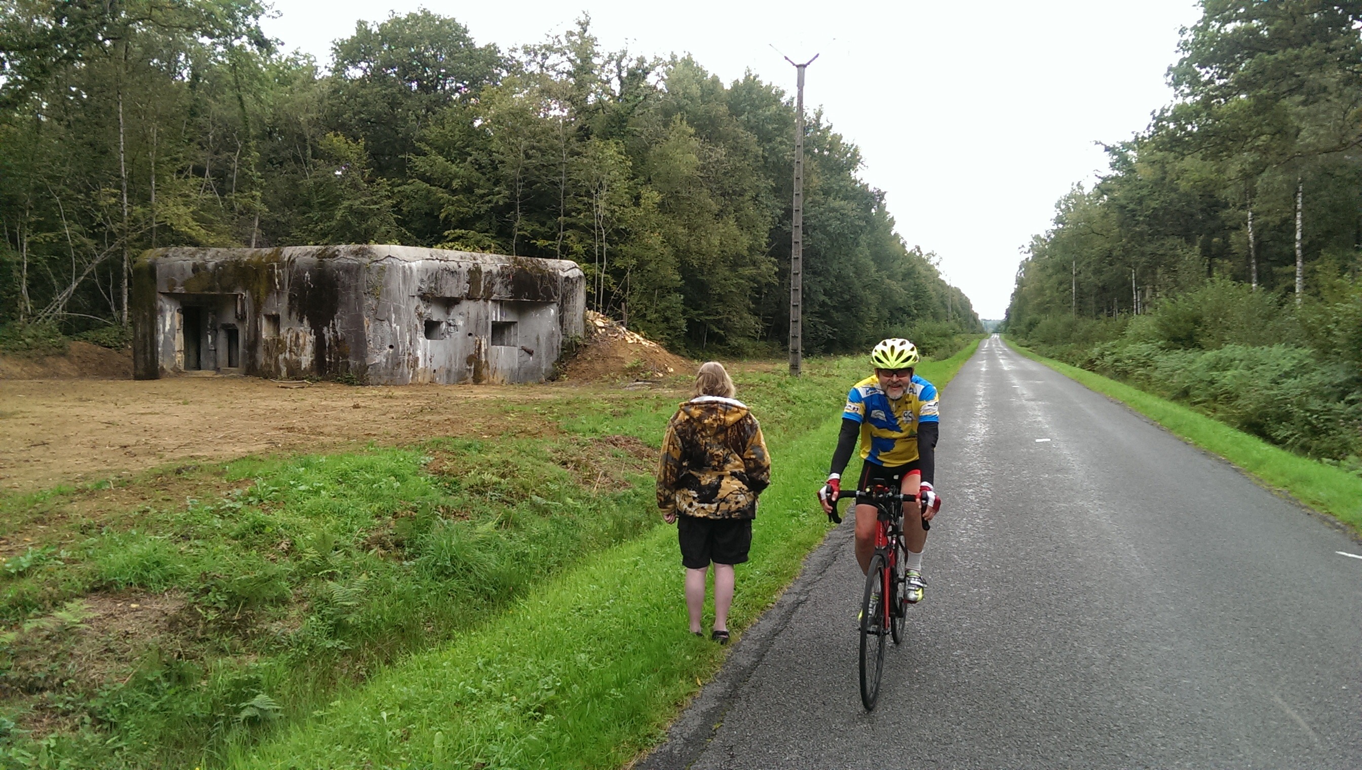
It was just past here I saw two blurry figures in the road, at a distance, only for it to be Monica and Nigel, who had stopped next to a fort from the infamously ineffective Maginot Line
I know that I am biased but once we entered the French speaking part of Belgium and in France itself, people are generally polite and say hello. In other countries visited so far I always initiated a greeting whereas here nearly everyone says Bonjour or nods – so much more friendly.
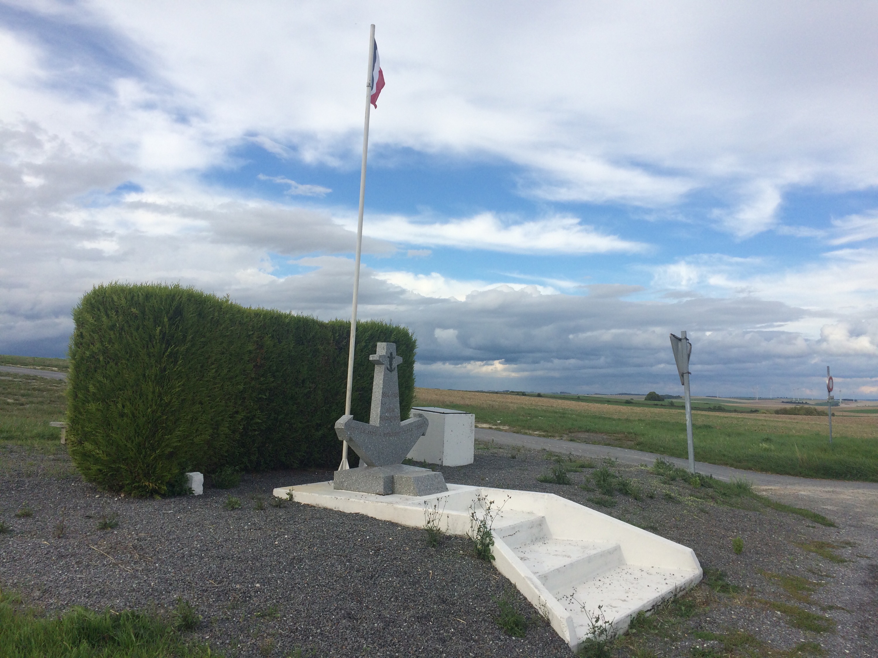
Coming away from the borders, the countryside opened up to wide open rolling fields interspersed with river valleys and little villages in which no one seems to live. This would have been fine except for a constant strong headwind of 20mph+ which made going downhills a pedal let alone uphill, as there was just no cover or shelter from it. This resistance monument with its flag at full mast shows the strength of the wind.
At tea stop, we decided that with the campsite still 35 miles away and less than 2 hours of light left, it would be foolish to carry on, so an additional 10 miles in the windy dry before packing up and a wild camp was in order.
This would leave 25 miles to do tomorrow, in rest day morning, to get back on schedule. Rain is forecast but hopefully not until midday.
The evening was topped off by bangers, mash and beans, washed down with a couple of cans of Pils. Not as good as Mum’s Sunday roast but good comfort food to finish off the day.
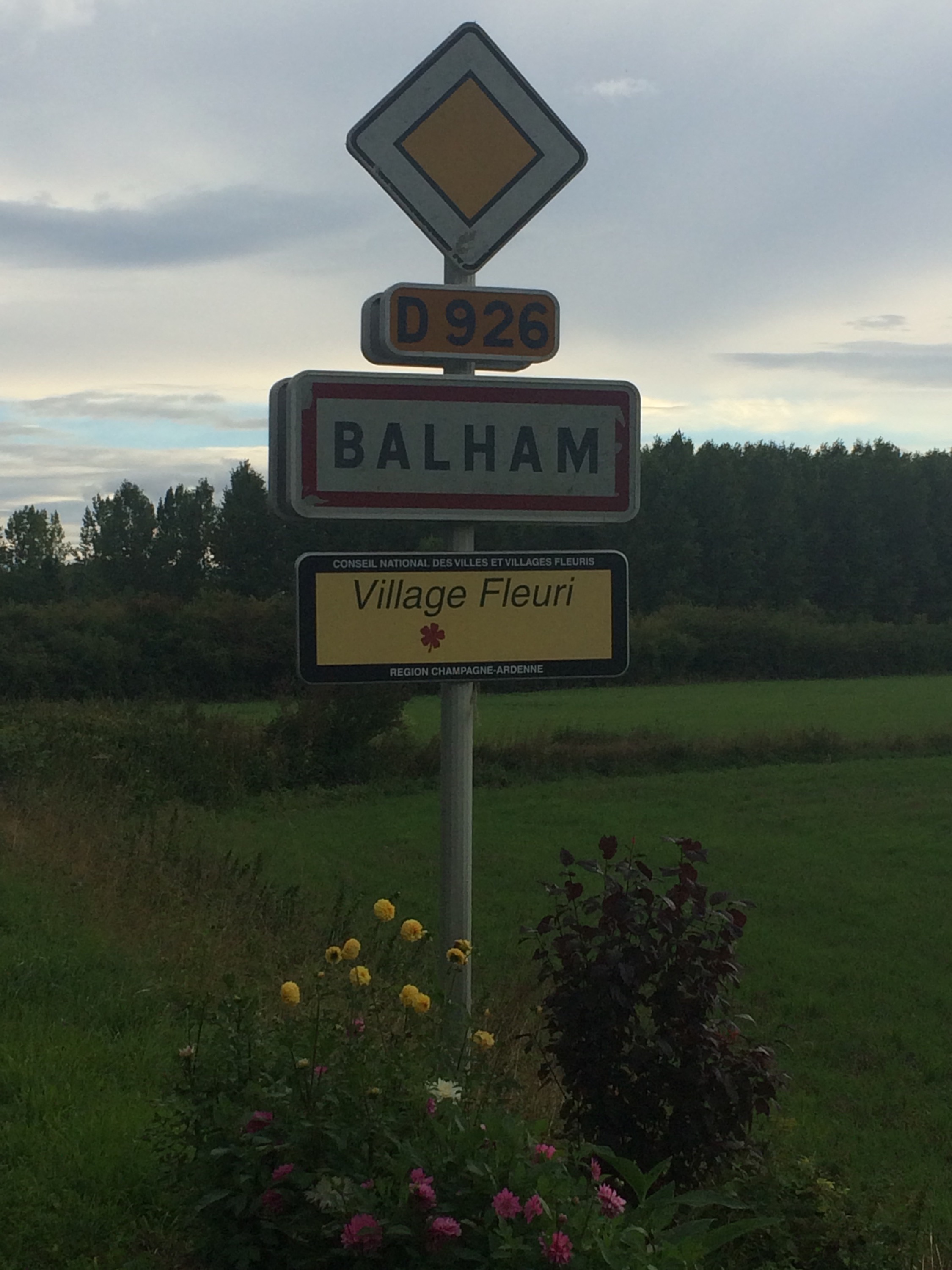
The other (prettier) Balham.
Up to 8th in the world out of over 150,000 people on Strava for miles covered this month following today. Will slip back tomorrow.
Champagne Harvest
14 September 2015
Epernay, France
Rest day 27 miles 1122ft
End of Leg Four Low Countries 2449 miles completed
Sometimes a misfortune delivers an unexpected surprise and yesterday’s delays did just that.
Overnight the wind was joined by heavy rain, and meant a poor nights sleep, but the day dawned cloudy, and to get back on schedule a short day of 25 odd miles awaited.
Dotting with rain as I left, the way ahead looked even more ominous with the head wind as ever making life a struggle.
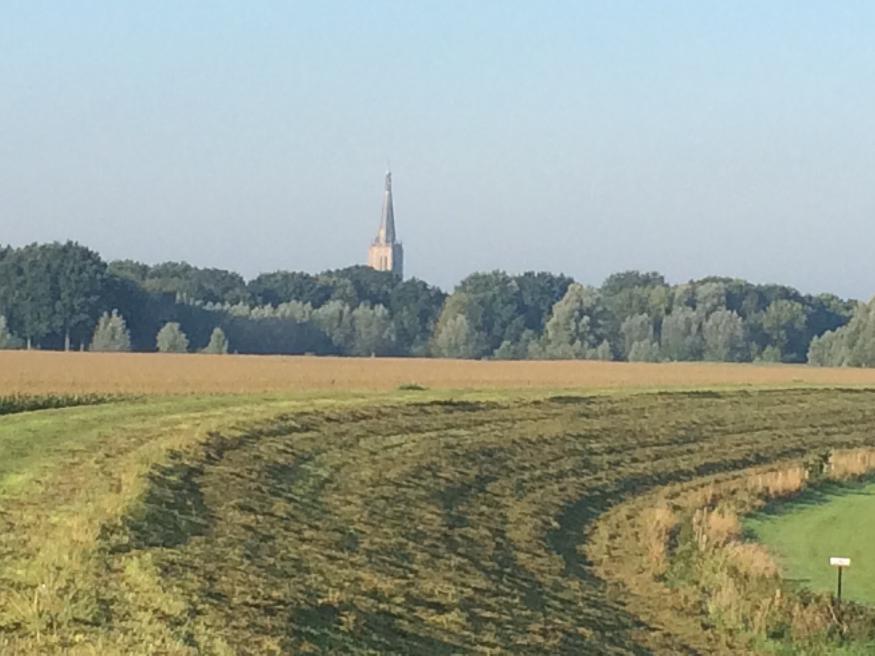
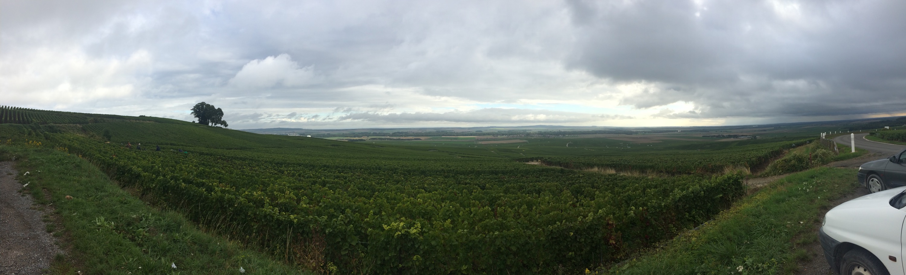
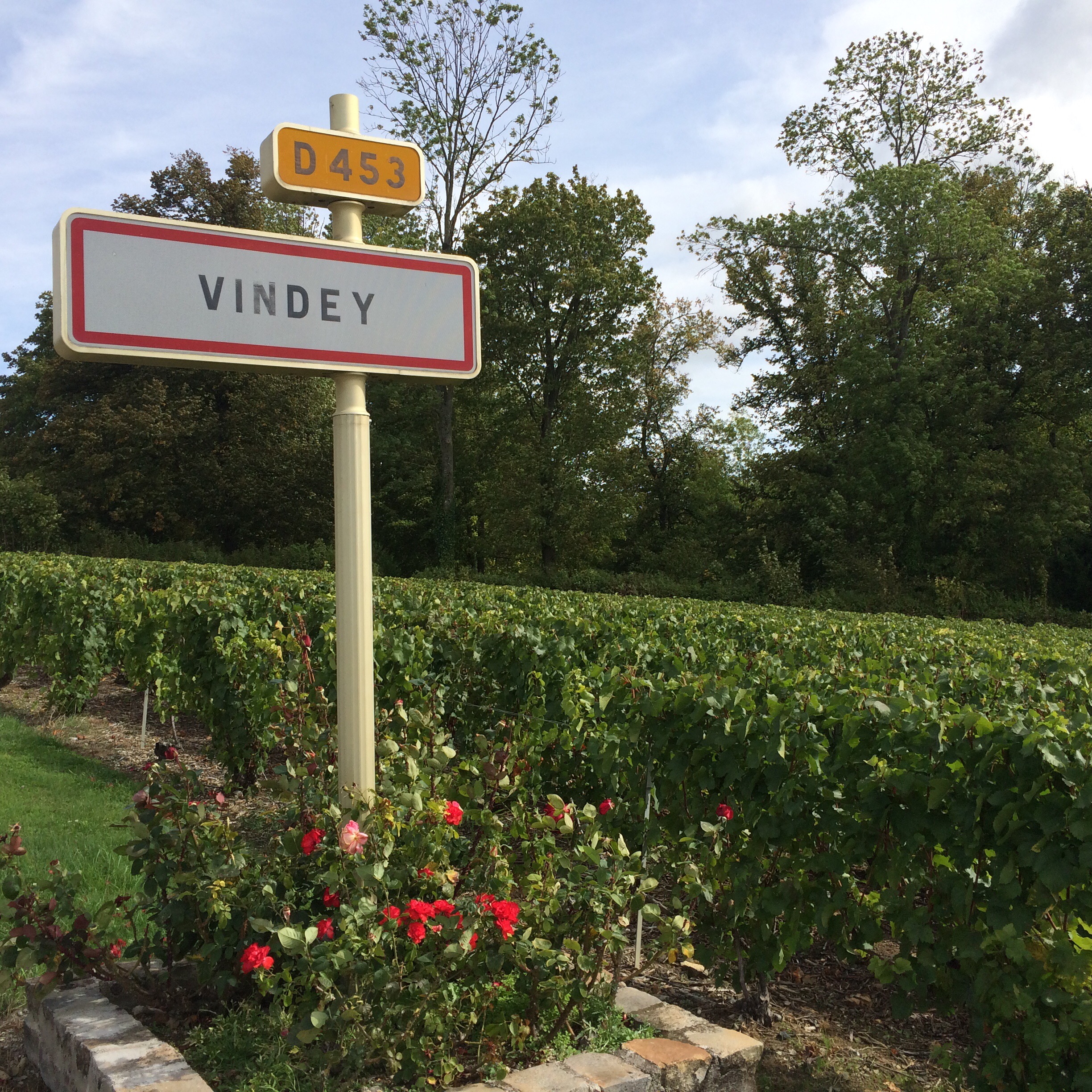
The route today took me off the plateau, where I had to pedal downhill once more and across to Mt Sinai and the Champagne vineyards
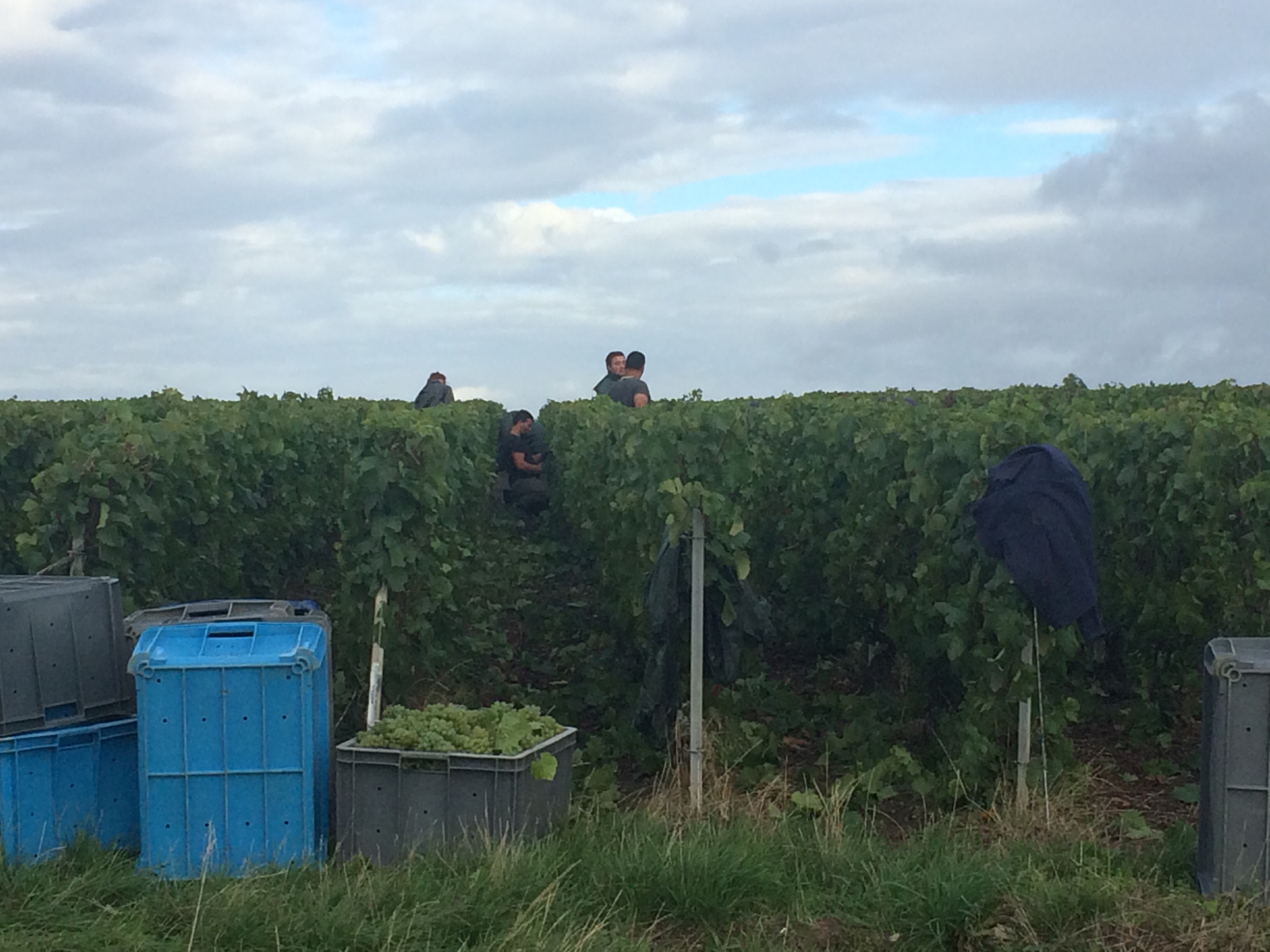
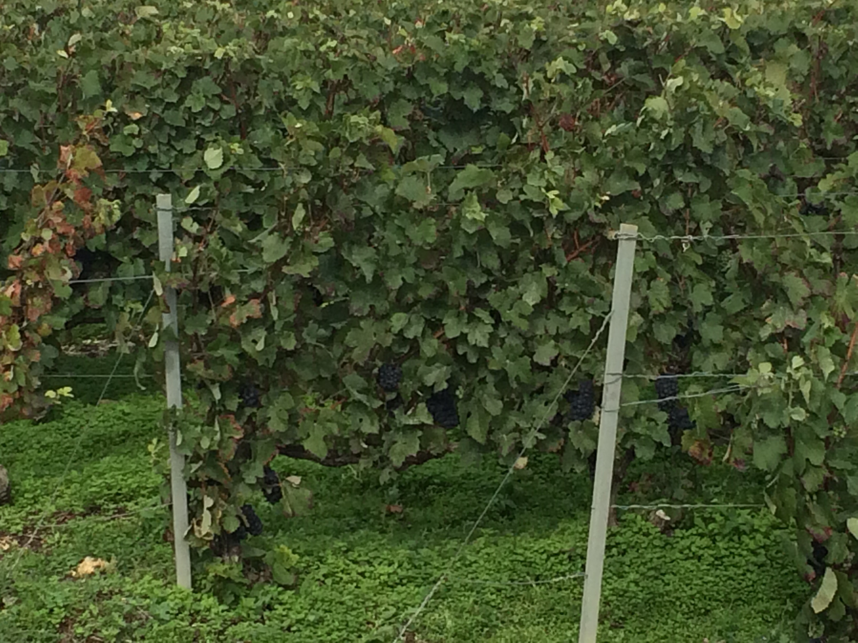
Unlike normally, when they are quiet, harvest had just started and the vines were filled with workers and roads filled with hire vans bringing more to cut every bunch by hand.
The smell of the juice and hive of activity was great to see and made the steep climb up to Mt Sinai more pleasurable
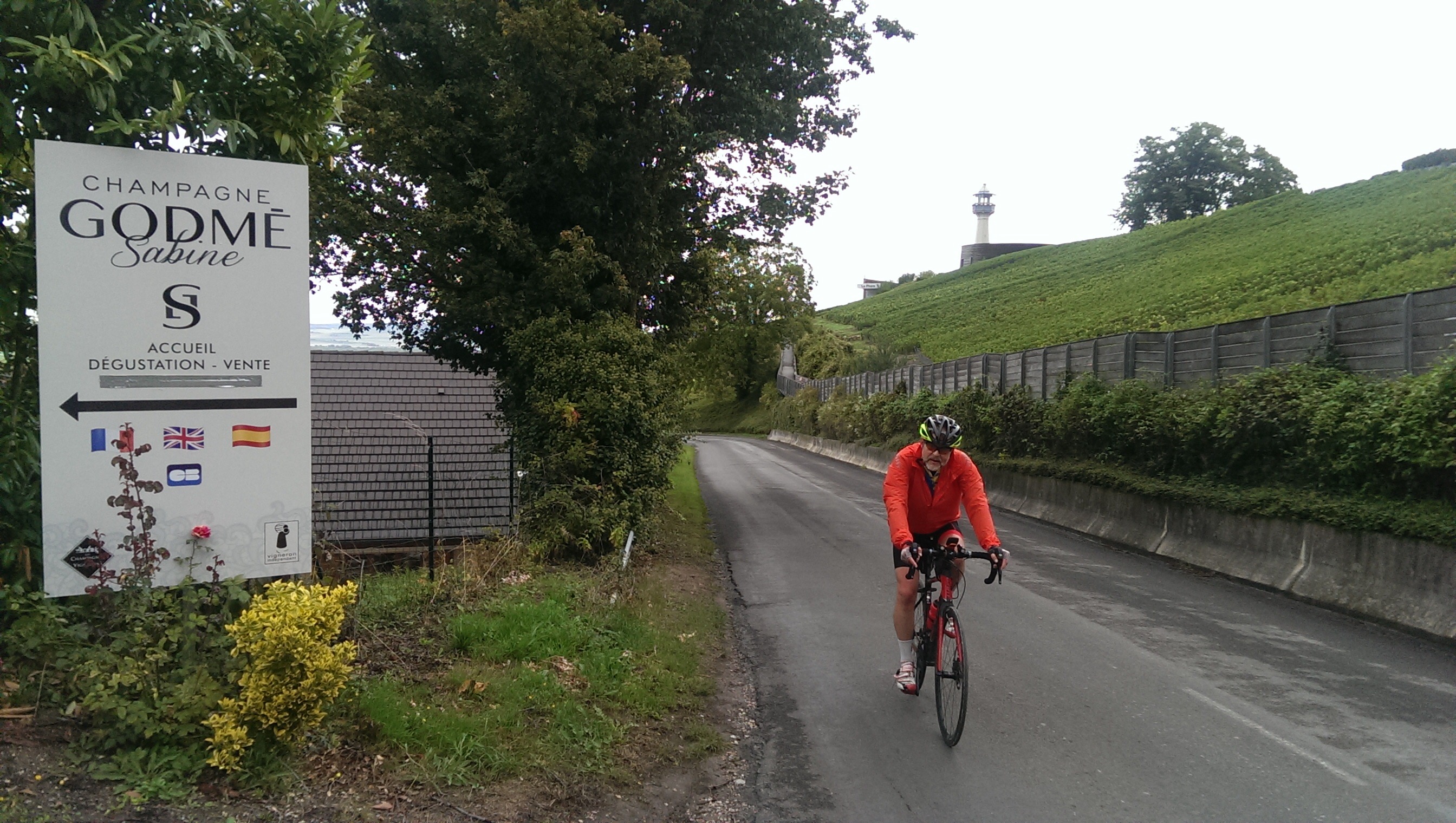
and the long sheltered descent more fun.
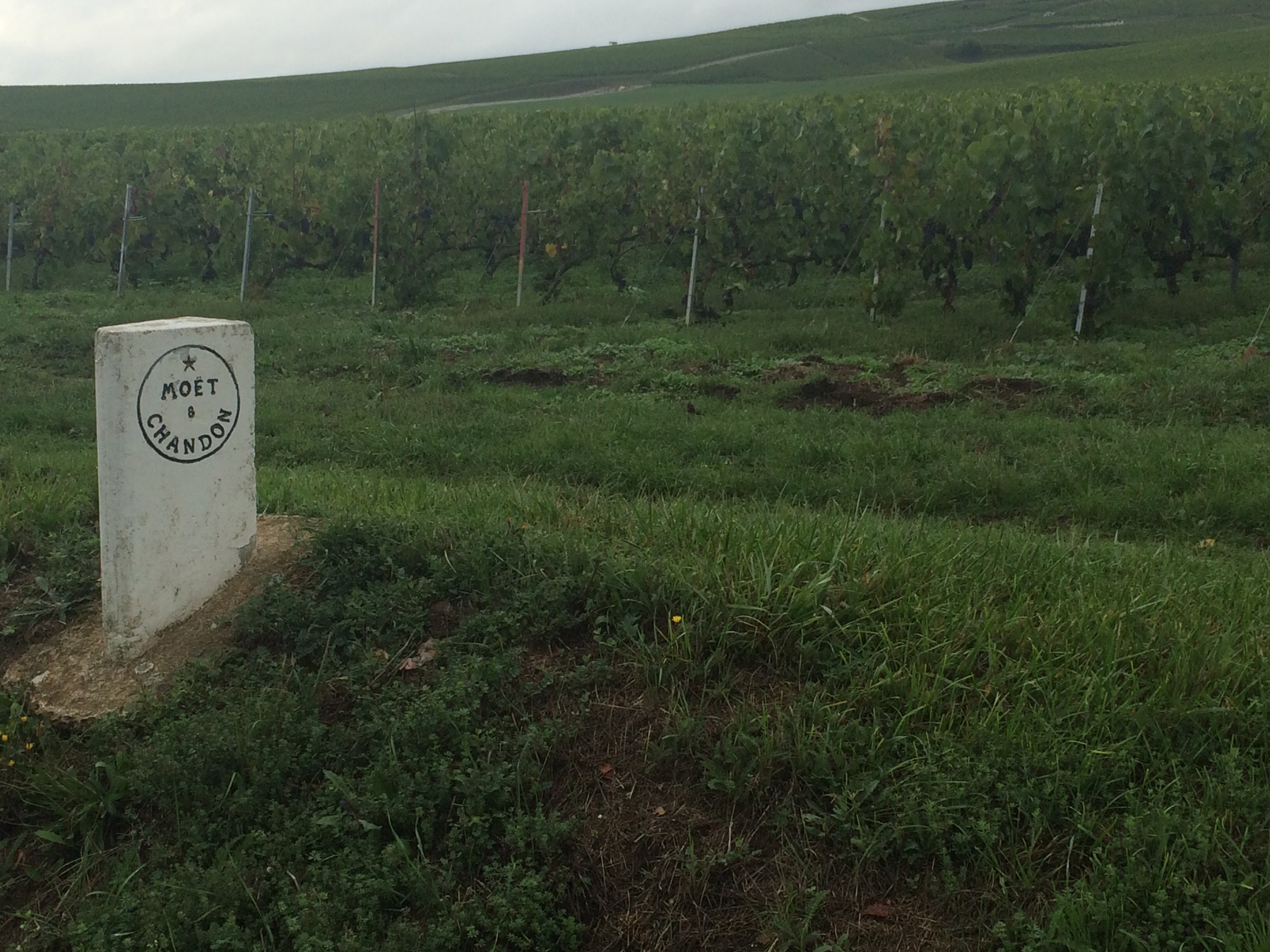
Many of the vineyards had the names of the great champagne houses marked by them and it was noticeable that Moët bussed in their workers with rows of coaches sitting by. Playing fields had been turned into makeshift campsites, and there are many workers in the site here too.
A wrong turning made me have to evacuate the road by clambering over a barrier and climbing down an embankment (not easy in cycle shoes and with a bike) as the road I wanted went underneath with no direct access.
An early finish by 10.45am counts as a rest day and after a shower, a trip into town and round the caves of Mercier with a degustation followed.
Back to proper cycling tomorrow and sadly no let up in the wind is predicted.
Roar
15 September 2015
Charny, France
Day Twenty-Four 108 miles 4950ft
That was the noise that I heard in my ears most of the day from the incessant and very strong headwind. This year has been very windy but I have not cycled in such a strong wind as today. It kept on blowing too.
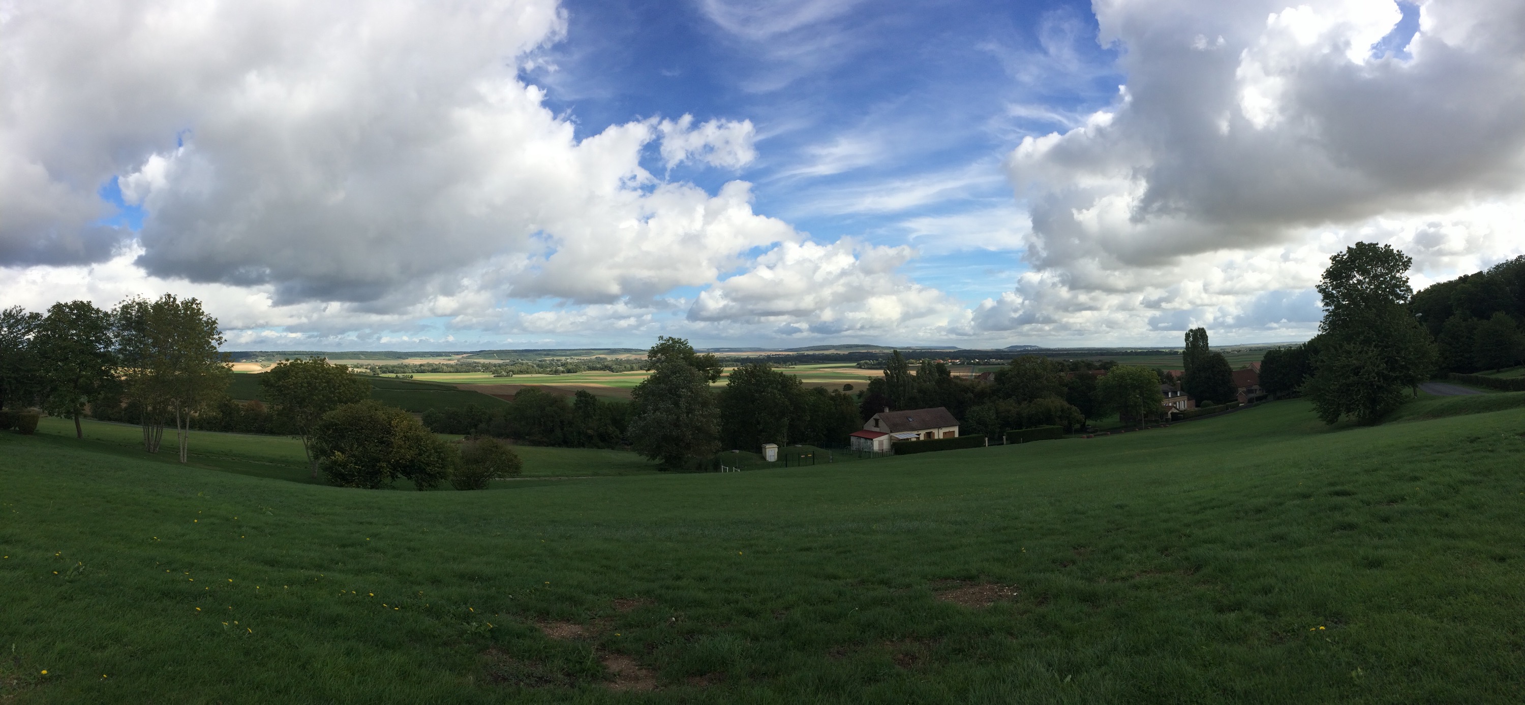
The wind is the bane of cyclists and I did question what I was doing as I struggled to do 10 mph on the flat. Going uphill sheltered from the wind was a plus. In addition, after leaving the Champagne region, the Isle de France is one of the most exposed parts of France with no trees for cover allowing the wind to hit you with full force. No fun at all. The village name below summed it up !
Starting out today from a damp and drizzly Epernay, ( before some of the Polish grape pickers I would add) heading south through more Champagne vineyards, I negotiated the town centre rush hour quite well and then got covered in mud, rain and grape juice, feeling very sorry for the poor pickers who looked even more miserable than me!
We all then met up (me plastered in mud) at a small champagne house for a quick private tasting, before finally leaving the champagne area near Sezanne.
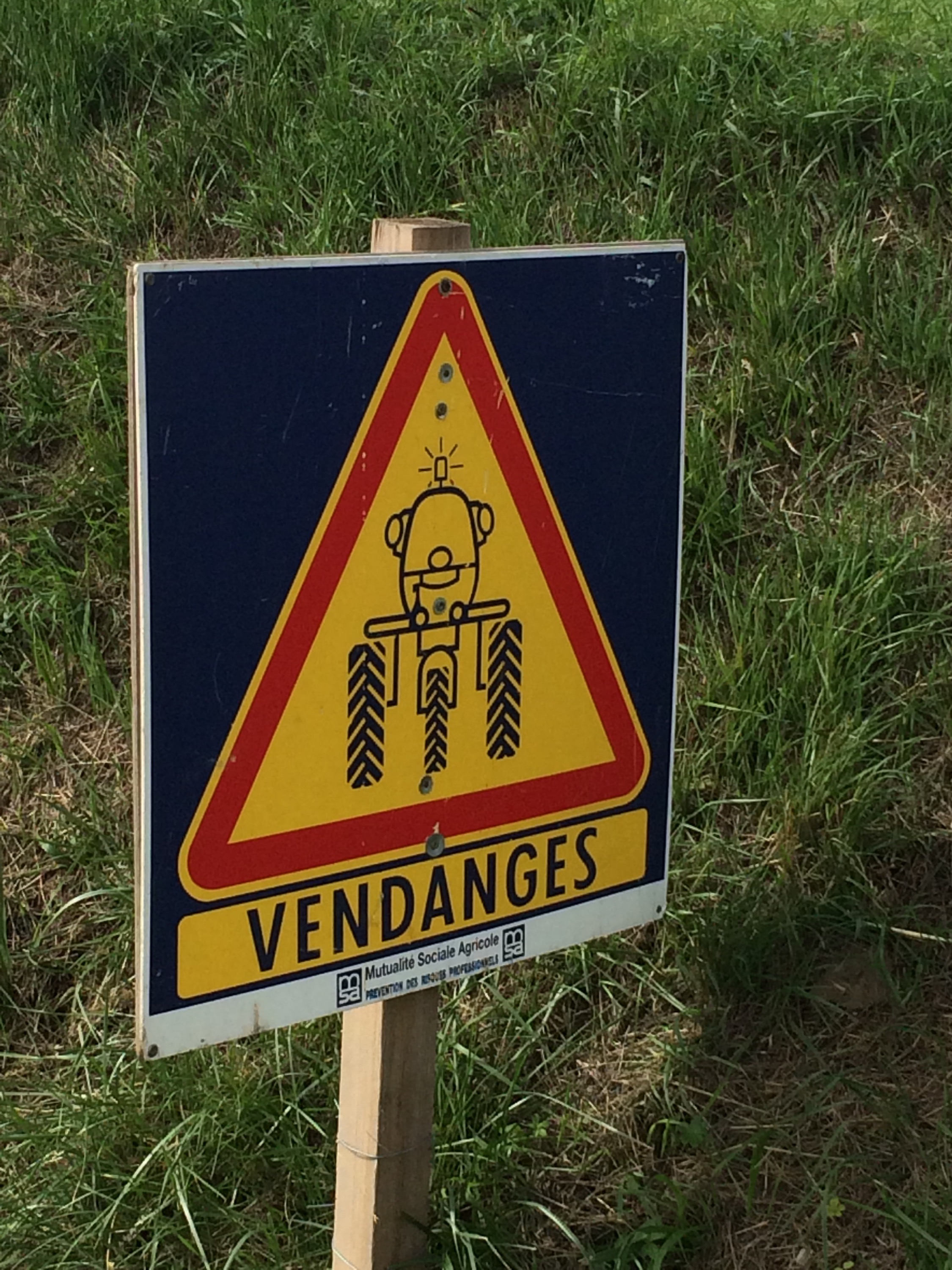
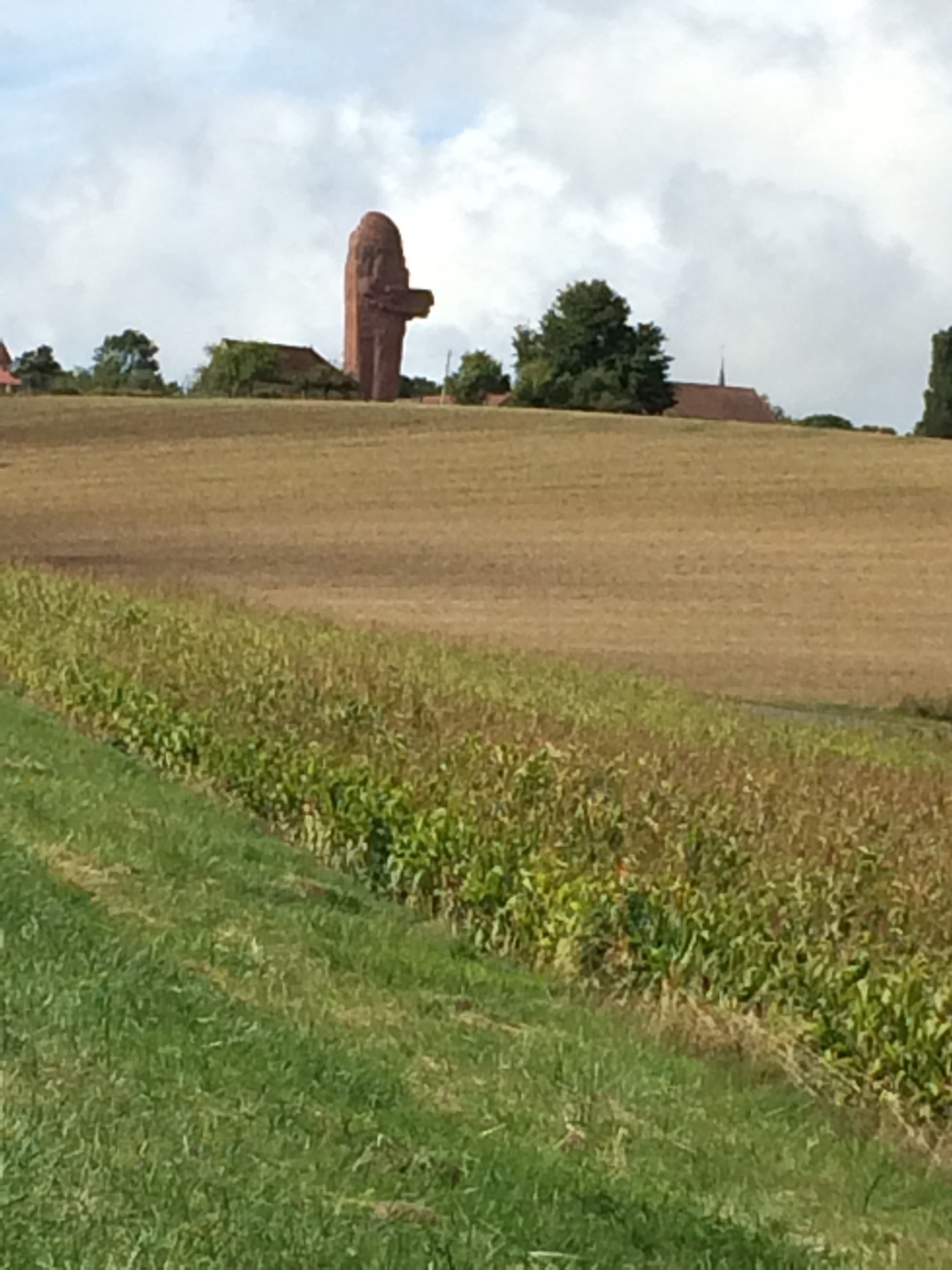
There were a number of different warning signs for the harvest but this was my favourite. The harvest started last Monday and should be over in the next two days so the many Poles will need to find other work. It makes you wonder if anyone is left back in Poland. The coffee stop was after the champagne stop today! and was adjacent to the huge, but ugly monument to the victory of the battle of the Marne in the First World War, as approved by Marechal Joffre
The drizzle stopped, but as I mentioned earlier the wind just seemed to get stronger and stronger making cycling a real challenge.
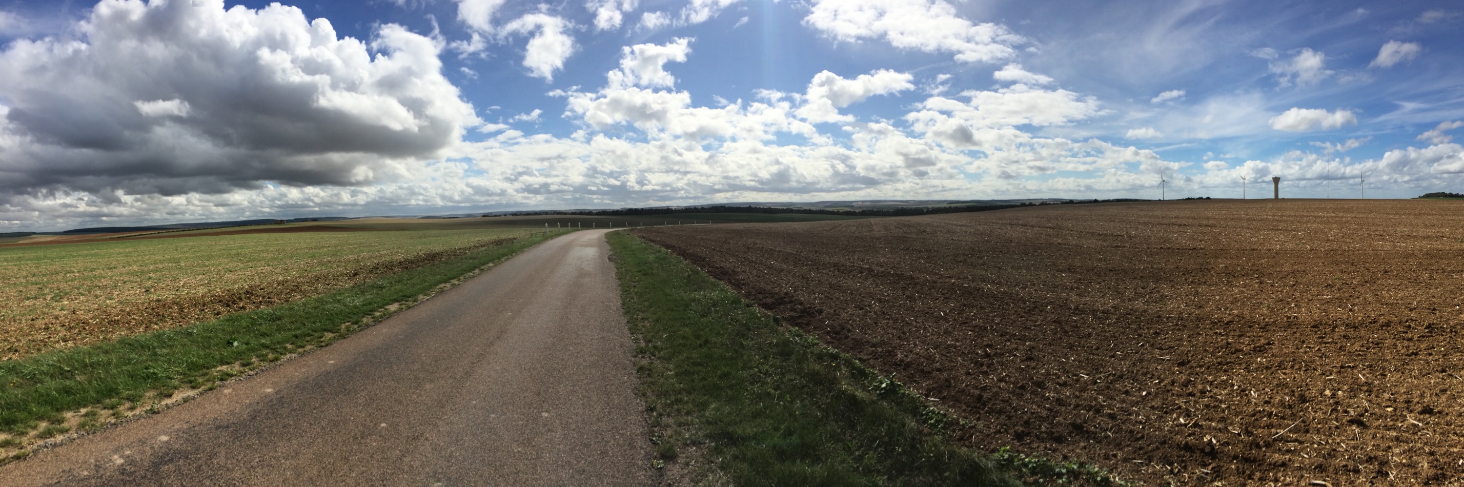
As you can see from this photo there is just no protection and two short stints of 25 miles or so for lunch and tea were taken, leaving just over 30 for the final blast to the campsite.
Pleasingly this last segment was more sheltered and the wind seemed less fierce allowing me to finish just after 7.30 and well before sunset at 8.06.
Interestingly, as we go south and west, sunset is staying relatively constant at just after 8.00pm but sunrise gets later.
The news is full of the first autumn Atlantic storm hitting the shores a month early, and the forecast for the rest of the week does not look great.
Nigel and I will monitor and if necessary cut some days short and use up part of the rest day. Not something I want to do but that is why they are designed into the schedule.
As I write this the rain has started again………
Days of Thunder
16 September 2015
Issodun, France
Day Twenty -Five 96 miles 2513 ft
When planning the route, one of the keys aspects was to consider the weather conditions. Cold and windy in the Arctic and hot and dry in Spain, the last thing I was worried about was good old France. Well this week has proved me wrong, as the most extreme weather experienced on the trip so far have been the last two days. Yesterday the wind and today some serious rain.
With a poor forecast an early departure at 8.10 was made with the campsite owner wishing me good fortune for the rest of the ride.
Fully togged up in fluo yellow rain jacket and flashing lights front and rear the rain started within 5 minutes of leaving, spitting and spotting on and off for the first mini session of 21 miles. The clouds remained very threatening, although the sun peaked through for about 30 seconds
Although still windy it was warmer and less strong than yesterday, even though Monica mentioned that gusts up to 100 kph were forecast on the town halls info board!
Confident that the wind was down a bit, a 33 mile stint to lunch through Gien and into the forest of Sologne which should keep the worse of the weather at bay, was agreed. Last time I came through here a few Mays ago with the Hadlow cycling boys, we were sheltering from the heat by riding in the shade. It was somewhat different today.
The roads are pretty flat and enabled me to scoot along pretty well, although noticing a couple of figures in the road ahead, I slowed a little, only to see it was a huge Red Deer stag, easily taller than me on my bike standing Landseer like looking my way. Magnificent – as I got to about 25 yards away he shot off – too many lights and flourescent jackets.
Nigel surpassed himself with steak sandwiches at lunch again. The next segment was through more of the forest and this time a torrential downpour for almost an hour, so that it was difficult to see along the long straight roads.
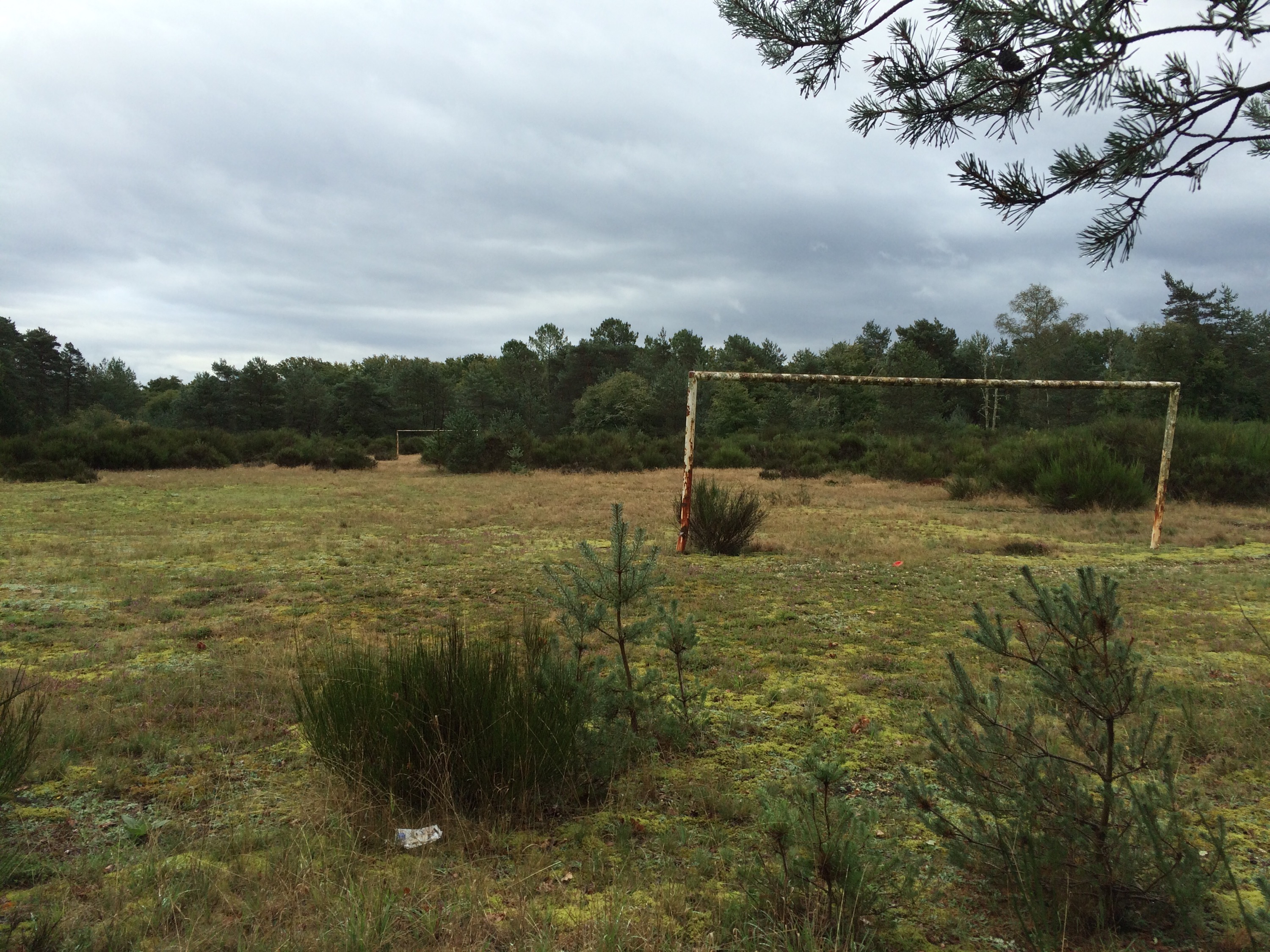
The rain did stop, and this sad picture of the village football pitch, unused for sometime shows how depopulated rural France has become.
Keen to get on today, a very brief tea stop left a short 18 mile stint to the campsite.
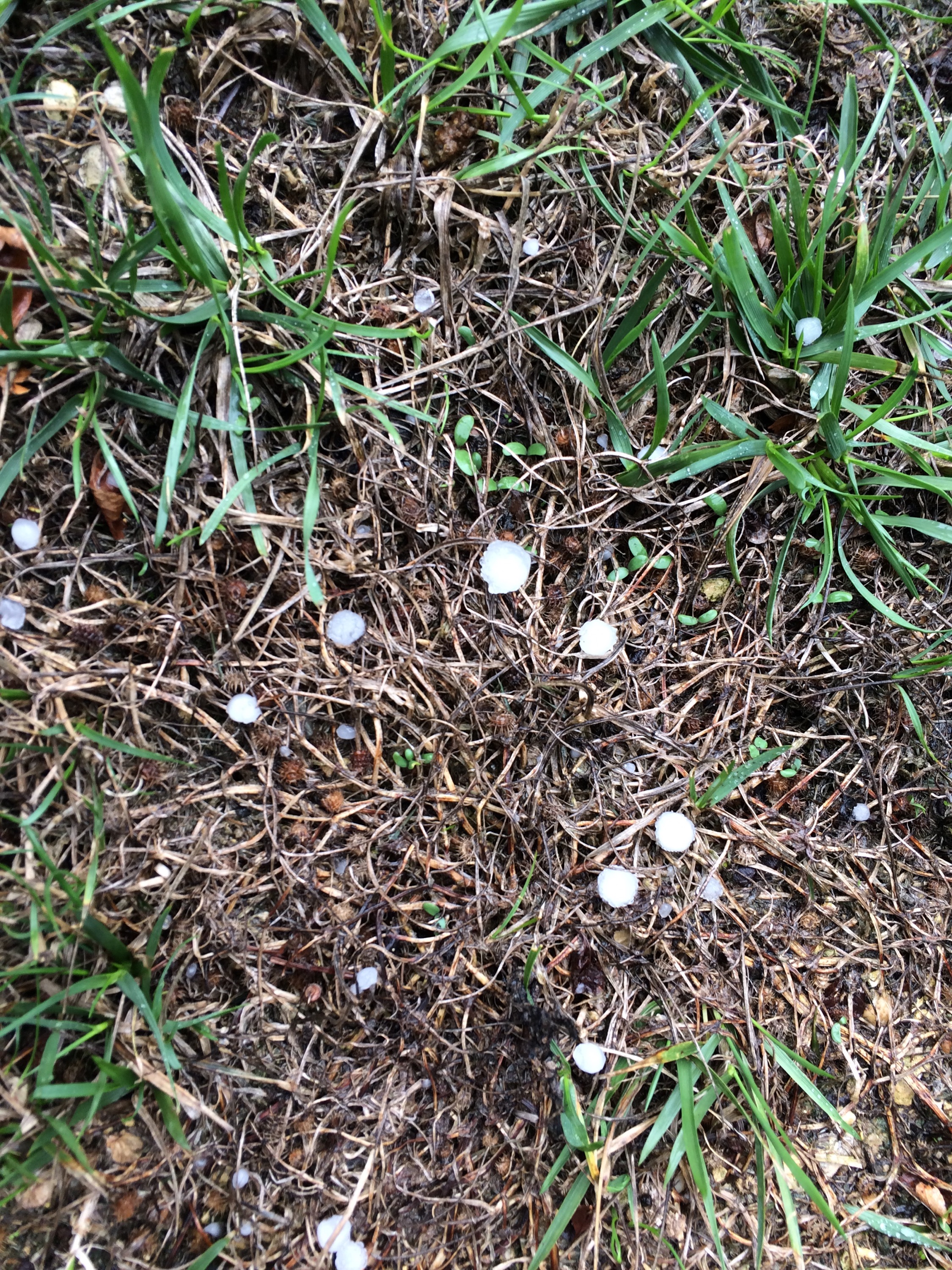
It was then, that thinking I may get away with one dry segment between the storms, there was a flash of lightning and a crack of thunder about 6 miles away. Pulse racing and keen to get off an exposed road across the fields, I rode hard to run along a river valley, when this storm hit. Hailstones the size of small grapes came cascading out of the sky, crashing against my helmet and stinging my exposed legs. As I cycled through a small farm, whose barn roofs were made of corregated iron, the noise was deafening. As quickly as it came. within 10 minutes it stopped – the sun trying to get through even when the storm was at its fiercest.
Several storms rumbled around but were far enough away for me to push hard across the open fields to get to the campsite- which had closed.
Wild camping again, Nigel(la) (autocorrect keeps changing Nigel’s name to this) rustled up a quality Salmon dinner, washed down with Normandy’s finest cider.
More rain and hills await tomorrow.
Apologies. limited photos today as trying keep the iPhone dry!
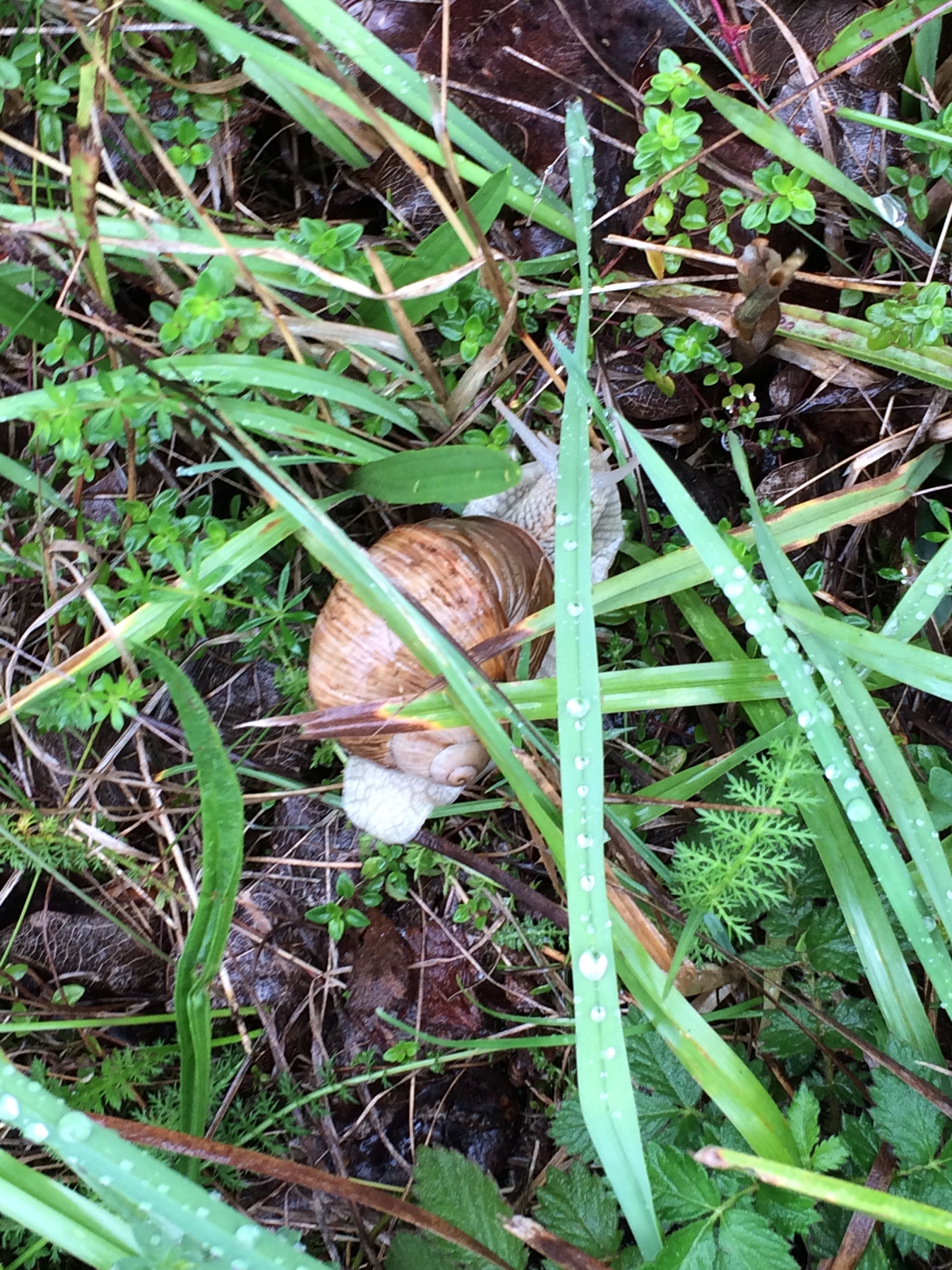
Good weather for snails
The Longest Day (or from Dawn to Dusk)
17 September 2015
Cognac-la-Foret, France
Day Twenty-Six 116 miles 7071 ft
Today was meant to be a slightly long day at 105 miles, but as we have found Garmin distance calculations are often optimistic. Having started at just after 8 soon after the 7.36 sunrise, I had not bargained on a finish 2 minutes after sunset at 8.09.
Leaving our non campsite on a track behind the closed campsite early and traversing a very quiet Issoudun , the first stint was the worst of the tour so far, 25 miles of featureless farmland with that incessant wind now blowing for 5 days making cycling a real chore and not at all fun.
It took over 2 hours to do that first 25 miles, the only plus being that it stayed dry.
A longer coffee stop (as I was not keen to get going) then back out. Within five minutes, the rain started and like yesterday it came down in buckets. During this stint Nigel turned round to ask if I wanted my full waterproof jacket, but it was too late for that anyway.
It was just afterwards that I heard some shouts and encouragement from the side of the road as Nigel had stopped to talk to two Dutch cyclists who were sheltering in a bus stop. They were crossing France supported by their wives who were driving, but unlike me sensibly got out of the weather as their schedule was less demanding at only 100k a day rather than the 160-190k I am doing.
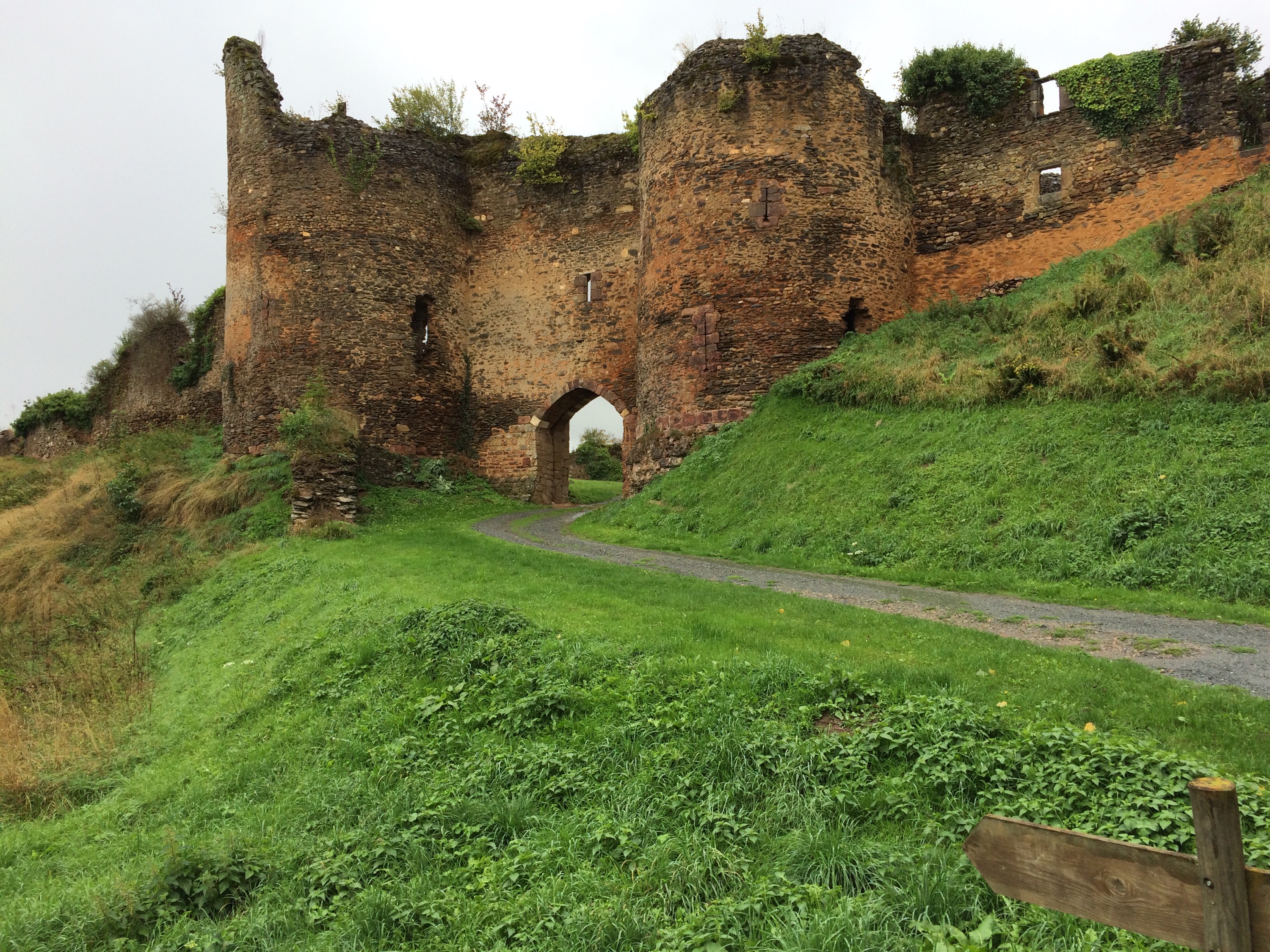
A quick stop to cycle round the impressive and Tonbridge Castle like ruins of Cluis-dessous. (Lower)
The heavens opened again just as I moved into the main village of Cluis-dessus (upper). Wanting to check the map in shelter there was a large covered market In the town square so I moved under its shelter to see two cyclo tourists already there.
James & Ben had left London about 10 days ago and were heading to Lisbon to catch a boat (any boat) to South America. Ben to learn Spanish and James as possibly the first part of a 3 year world tour. They were hiding to keep dry and order up on Amazon some essential cycle kit they had forgotten or not realised they needed.
I wished them good luck and told them to seek out Nigel’s dad’s boat yard in Joao Pessoa if that’s where they end up!
It rained hard for at least two hours of this two and a half hour segment and whilst the wind was still blowing the landscape had changed with far more trees and shelter to make the cycling better even if there were more hills.
We had passed into the Limousin region and it was also noticeable that there were the odd British and Dutch cars about, no doubt belonging to ex-pats living locally.
Lunch was taken just short of La Souterraine with still 60 long miles to go and it was already almost 3pm. This was the crossing of the Creuse.
After a couple of brief showers early on the rain stayed away but the hills got a bit bigger with the wind blowing as soon as any cover was lost.
However I made the prearranged tea spot at 5.45 with still 25 miles to go to the campsite, which was definitely still open.
Having wild camped a lot, Monica understandably was fed up with boys own adventure book stuff and was keen to get to the site, even if only to use the wifi!
Leaving just under two hours to complete the planned ride and knowing that there were several big hills to enjoy, we agreed that as the weather was the best it had been all day I would crack on, and that if it got too dark, I would call Nigel, who would pick me up from wherever and deposit me back at the same place tomorrow if need be.
Suffice to say this was a good incentive to wake up some pretty tired legs and I enjoyed some long downhill sweeps for a couple of miles before having to climb back up the other side of the river valley at least twice and running through some pretty villages en route.
As I crossed the Vienne river with just 5 miles to go the sun was close to setting, peeping out behind the clouds and then lighting them up once I got to the top of the valley side where a herd of small deer bounced in Gazelle fashion into the shelter of the woods.
Reaching the campsite when I did, gave me 10 minutes to get showered for a hearty plate of spag bol.
Interestingly today, although getting more tired, each segment of the ride was faster, showing the effect that the wind has is greater than that of the hills.
Please keep the encouragement going – it has been really tough cycling so far this week, easily the hardest of the tour so far
Thank you to those that have donated and if you have not please click on the charity partners button to make a donation.
Destination Chez Dennis
18 September 2015
Moirax, France
118 Miles 5870 ft
Today was always going to be a longer day at over 100 miles but as usual the Garmin was out by about 10% so a longer than expected day finishing just after 8.
However the benefit of this is that we parked up next to the lovely Gite of friend Dennis who then cooked a super meal and entertained us royally. Do check it out if you fancy a break down here by following the link above.
The day started out cool and misty and although I had a short sleeved top on, kept the arm warmers on all day, really quite chilly. There were plenty of showers about and the road was often wet, but I only got a few spots of rain on me all day
The roads however were often plastered in mud as the farmers were out harvesting the maize for cattle food making riding messy and just requring more care.
It was on this first segment that I had my first puncture since northern Sweden- A thorn and wisely checking the tyre I had a second one too.
A long run at around 40 miles to the pretty village of St Jean de Cole and I managed to get a couple of short stints on voie vertes (usually former railways converted to cycle paths) including one that I recall dragging the children along on holiday a few years ago!
Progress due to a mix of puncture, complex route and hills was slower than I would have liked so coffee stop was nearer 1pm than 11am!
Navigation over the next two legs was easier apart from the fact that I had to negotiate Perigeux and then Bergerac
The Tour de France went this way too.
Perigeux via the ring road (roundabouts and lorries are never nice) and then a massive hill which went straight up at 14% followed by several more it seemed.
I just went straight through Bergerac just after the 6 pm rush hour and only shouted at one driver so that went well. Final tea stop had been agreed next to the chateau at the top of the hill at Montbazillac so another good climb to finish.
The delays during the day meant that I had 21 miles to do in less than one and a half hours before sunset but managed to get the afterburners on and thanks to some more favourable terrain finished just before sundown. The image below shows me in the vineyards behind Bergerac on that final stint
Cold, Wet & Miserable
19 September 2015
Aire-sur-l’Adour, France
83 Miles 3307ft
It was just after two o’clock on the edge of the vast Les Landes forests in south west France it had been raining again and the temperature was a cool 12C.
I had had enough, it just was not correct, this was more like November in these parts than September. The weather had finally got to me, so I pulled over, stood under a tree in a disused roadside cafe and waited for the rain to pass. Getting back on after fifteen minutes or so the mind was back on the challenge.
A late start today courtesy of breakfast with Dennis, making it far too comfortable to get going, so I was not in the saddle until ten this morning
In fact this was not a big problem as we decided last night to have two shorter days today and tomorrow rather than another super long day like the last two and cancel the rest day.
Starting off cool and damp the roads ran through some walnut orchards and tobacco fields and I then had the opportunity to run by the Canal du Midi for ten miles or so. There were a few boats still chugging along, tourists on board.
A bit of route rearrangement allowed this ten mile stretch so coffee stop was taken at midday.
At this stage the route then moved into the edge of Les Landes and some extremely quiet roads which made us think more of Northern Scandanavia than France.
The clouds started to build and it cooled down further so I put on my shower jacket. Hearing the patter of raindrops on my jacket and feeling something on my face I thought the rain had started, but no it was just clouds of small flies that ended up coating my legs and face and ensuring I rode with my mouth tightly shut. It was not nice to feel them wriggling in your nose however and necessitated several stops.
The threatened rain did arrive and as mentioned earlier I took avoiding action after a bit of a drenching. The roads went through a couple of small semi deserted villages with their eglise-fortifiee still evident as a result of the 100 years war when this area of Aquitaine was under the English crown. The best was this one at Arx
Lunch stop with only 20 miles to go and good terrain and improving weather allowed an early finish before six, a shower and trip into town for a meal and watch some rugby World Cup.
We chatted to a couple of guys walking the St Jacques de Compostelle route, one from Holland, the other Swiss, they had both been on the go since July and will not finish until November!
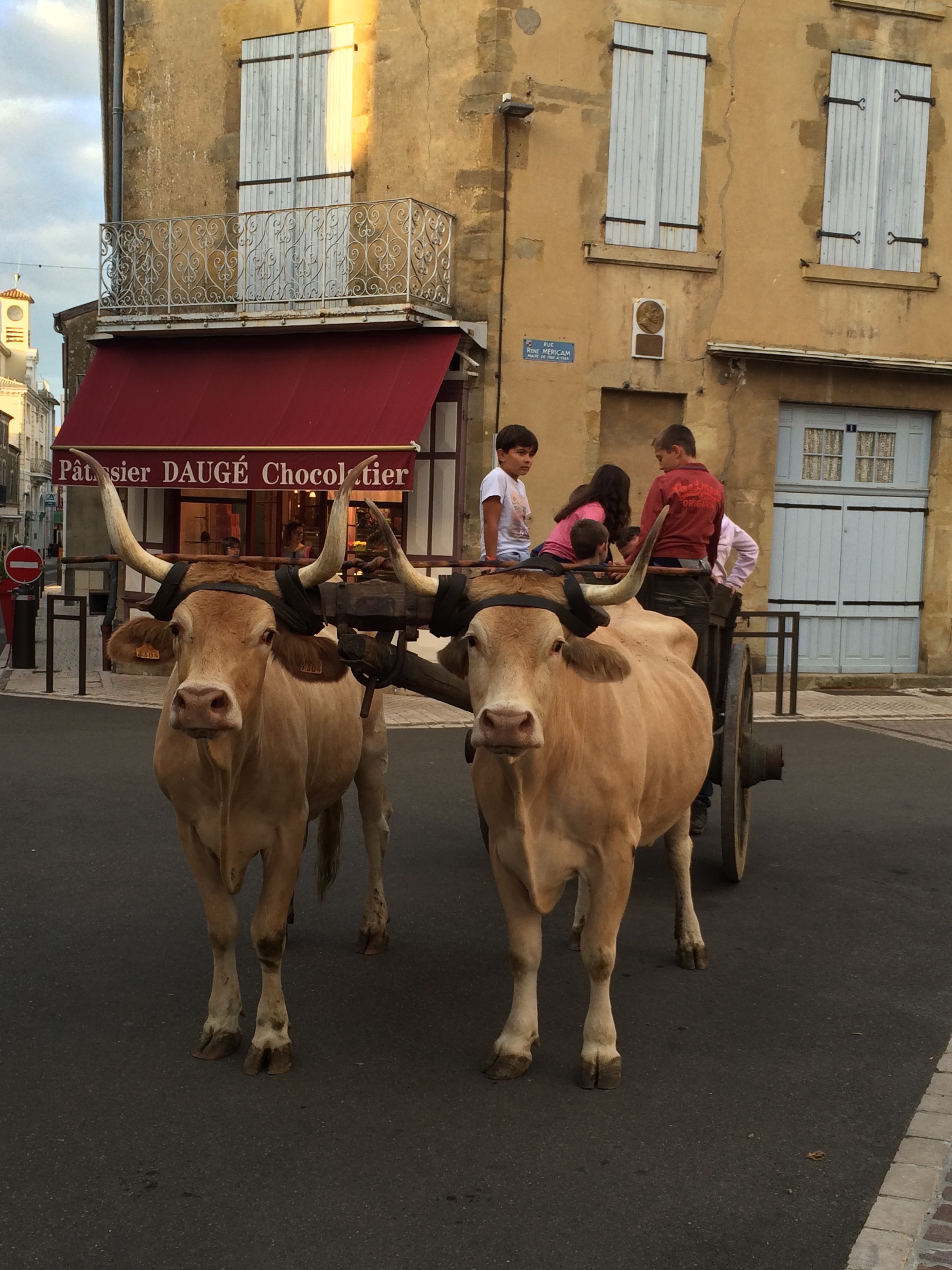
Aire sur l’Adour’s medieval fair, every French town seems to have one now, was not a patch on Le Puy’s Roi de L’Oiseau festival but they did have some great and well behaved oxen.
Tomorrow will see a 65 mile stage into the foothills of the Pyrenees before, weather permitting, the climb of the Col la Pierre St Martin on Monday.
Pancakes & Patrimoine
20 September 2015
Arette. France
71 Miles 4062ft
Total mileage 3041
Getting up this morning there was something unusual about the French sky. It was blue – the first time that we had woken up to clear blue since Holland about ten days ago.
Having removed all facial hair this morning to lighten the weight prior to the mountains. Whilst getting ready to go out cycling, Monica reminded me of something that had fallen out of use, sun cream, so remembering sun cream first and chamois cream second, off I set at a tardy 9.45 with only about 65 miles to do.
Today the route took me through some pretty bastide towns. This was Geaune, and I continued to see a number of pilgrims walking to Santiago.
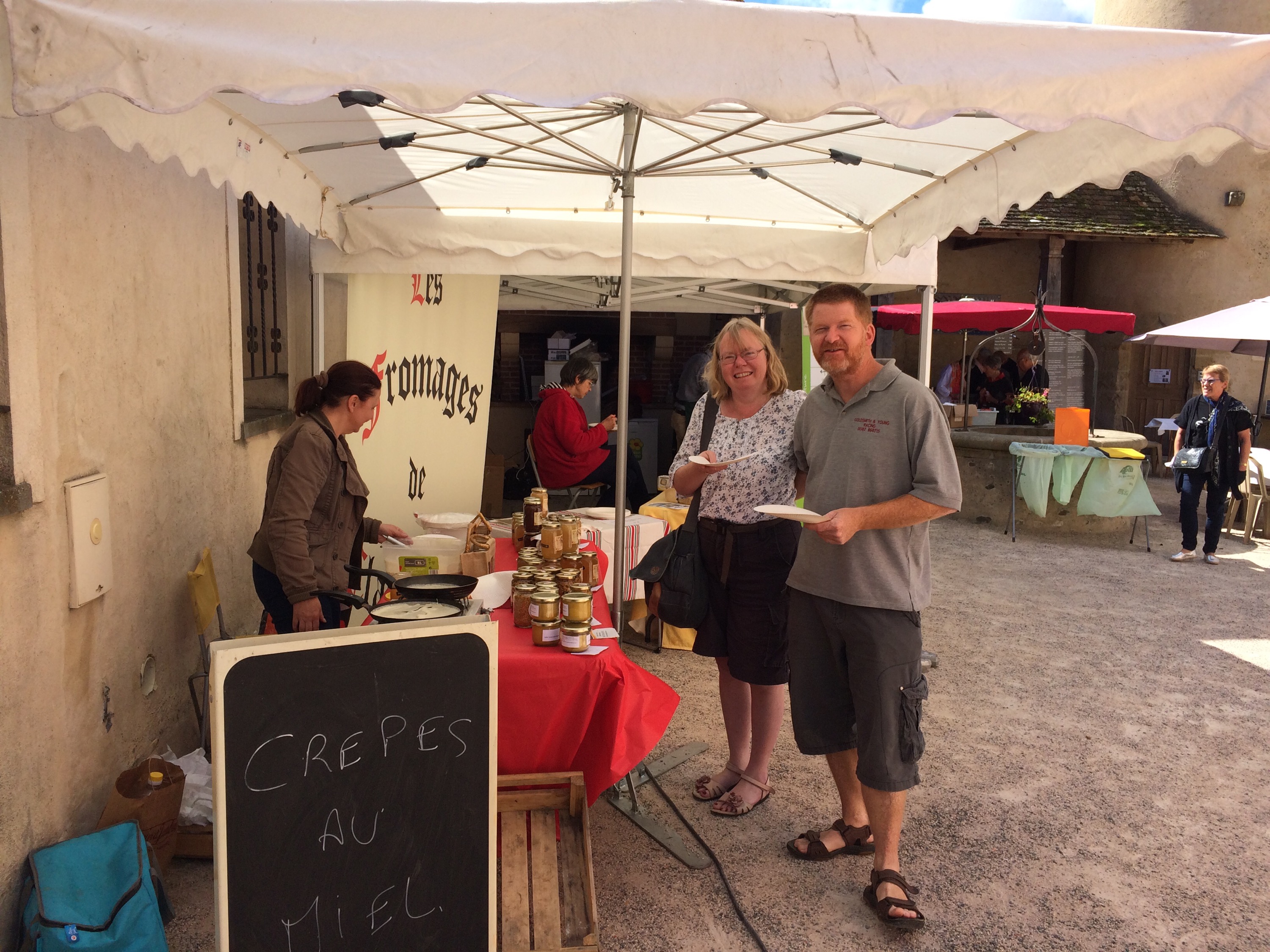
We agreed to meet at the small village of Morlanne for coffee stop and our usual 30 minutes became much longer, as today was a jour de Patrimoine ( heritage day) In a very nice 14 century house’s courtyard they had set up stalls selling usual local French goodies such as cheese, wine, honey, foie gras etc. and also made up old time pastis cakes in a fantastic kitchen that looked as though it was used for teaching.
Nigel fancied a honey pancake and ended up showing the French lady how to cook it. She was a good beekeeper, but struggling on the gas, burning her hand when lighting it, so he even repaired his spare gas lighter and gave it to her, what a gent.
After devouring the cakes with coffee back in the camper and buying some cheese and wine. We then all went down to the local chateau which had a free open day.
As is usual in France it had been restored and improved over the centuries, but in particular since the local area had acquired it in 2003, as it had been lived in as a semi ruin since the Second World War. So the tower had been rebuilt and two new internal buildings built in the courtyard in the last ten years This all to protect parts of the original 14 century building which had never seen a war and could not have coped with one a century later, as its walls were too thin to withstand cannonballs!
It did have great views though.
As we were leaving, a group of the local 2cv owners club had set up a picnic next to the camper and we all ended up getting Grand Marnier pancakes from them too.
After the 30 minute stop had turned to 3 hours I still had over 40 miles to go and it was now around three. Some cracking hills both up and down meant a good average speed and a very quick tea stop whilst Nigel had got the washing out to dry.
Just as I was getting ready to go a cyclist shouted bonjour and was gone before I got going. I gradually caught him up over the next couple of miles and then chatted to him for a few more. Explaining what I had done and where I was going, I asked what the climb would be like tomorrow to which he added to both “C’est roulant” it’s rolling – looks all uphill to me.
We had agreed to meet at the campsite at Aramits but when I got there, some event had been happening as there were cars and coaches in the fields and people walking down the road, as well as the fire brigade in the town centre following a fire in a hayloft.
All traffic was being diverted but I managed to negotiate myself past although when I got to the camping Nigel had left a text saying he had booked onto the next village campsite, at Arette, because of the fire.
Getting back on, it was really only another three miles so all was well.
We then did a quick service on the bike, cleaning it up, lubing the chain, putting on some new tyres and checking brakes etc before tomorrow’s mountain stage
Up there somewhere tomorrow
Col de la Pierre St Martin
21 September 2015
near Sos del Rey Catolico, Spain
71 Miles 6715ft
I had come over the top and was speeding down the valley just as a snake wriggled its way across the road and above the giant wingspan of soaring vultures circled in the thermals. It had to be Spain. We had arrived in the final country of the journey.
It was all a bit different to the start in France as I left a very chilly campsite at just after 9, but crucially in clear blue skies.
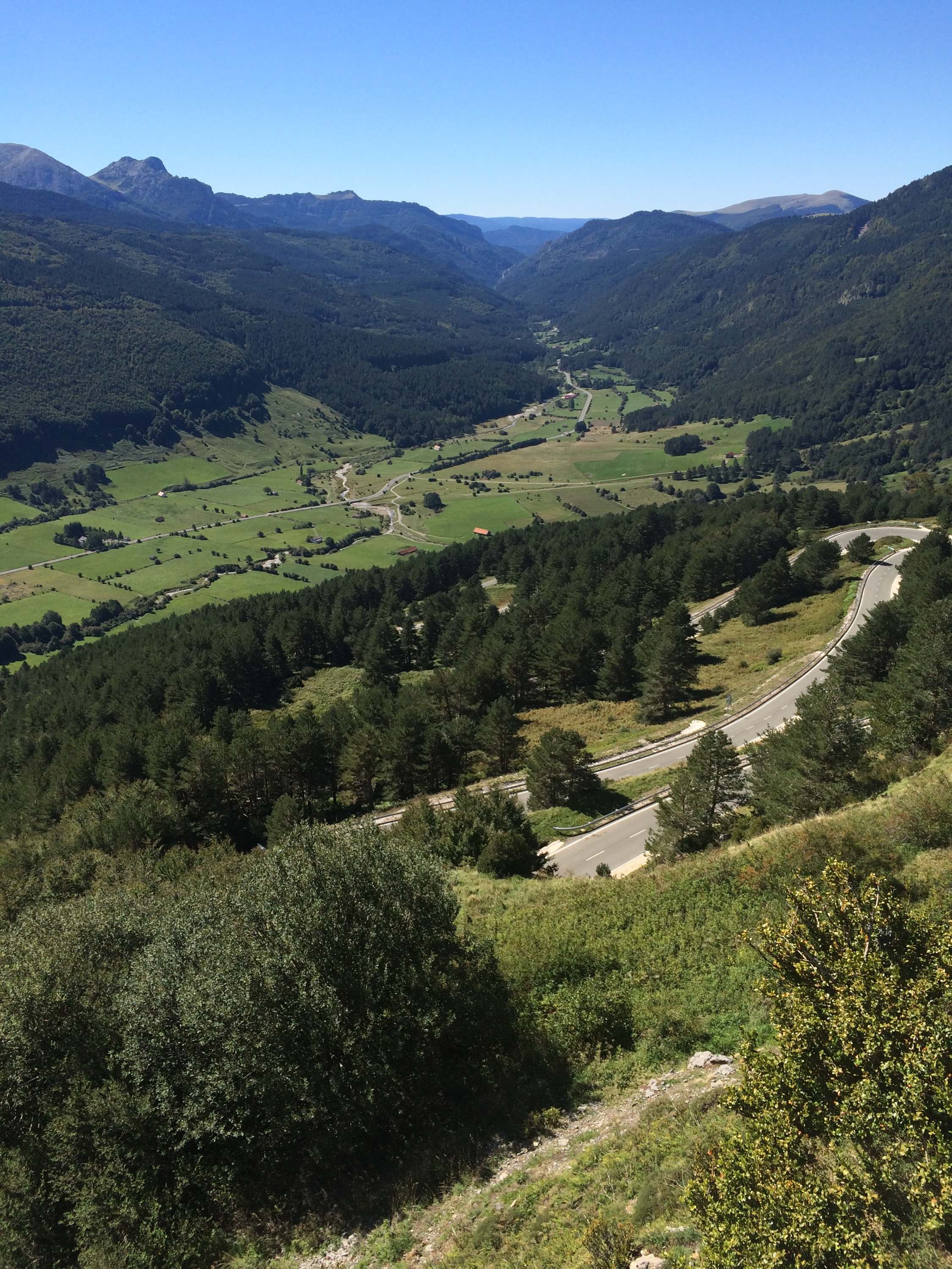
Ahead lay a climb of 1466m in 25km with the first 9 km fairly gentle before a very steep middle 9 km and easing towards the end.
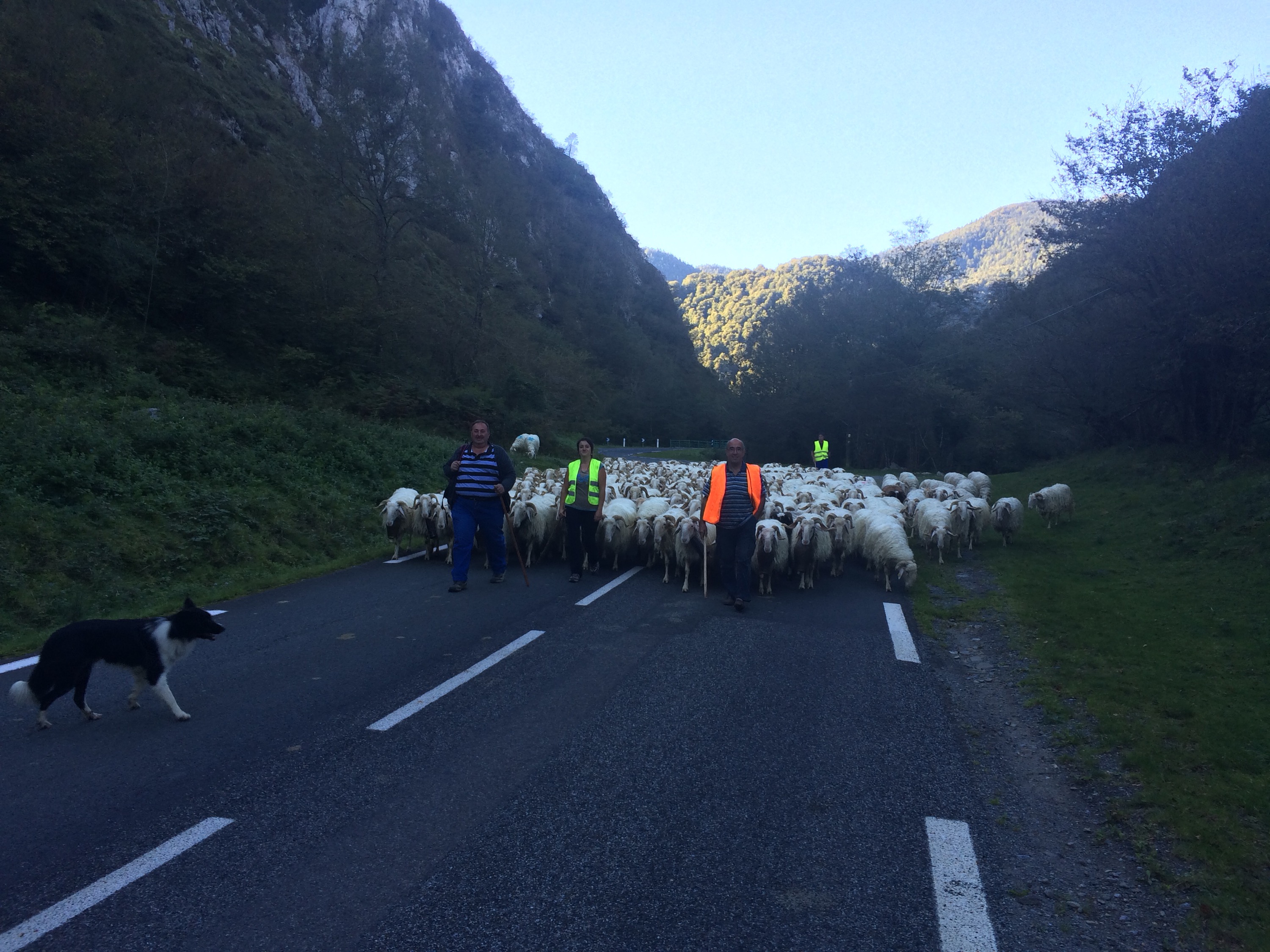
Taking things very gently to begin with I had my only stop of the ascent to let this large troupeau of sheep pass as well as a chat with one of the herdsmen. They were being brought down early from high pasture.
As is common on favoured Tour de France climbs they have kilometre posts with the distance to go to the summit and gradient for the next kilometre. That is great, but it is averaged out as there were ramps of 17 & 15% at times during the steepest 9-10% and even near the top a 6.5 section was flat for half of it and 13% for the rest.
Nigel joined me for a kilometre or so but decided against going for the summit. It took me 2 hrs in total averaging just under 7 mph, the part Chris Froome and the TdF boys did, took me just over twice as long as their 40 minutes
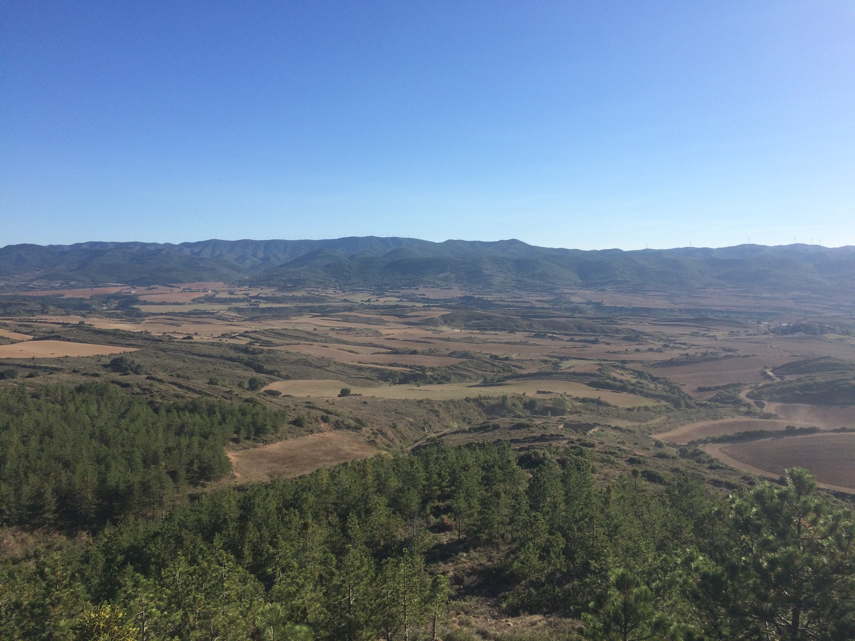
The view from the top was really worth it though seeing out for many miles over South West France. A coffee, stop and chat with a couple of Canadian doctors followed as we watched a number of other cyclists arrive at the top.
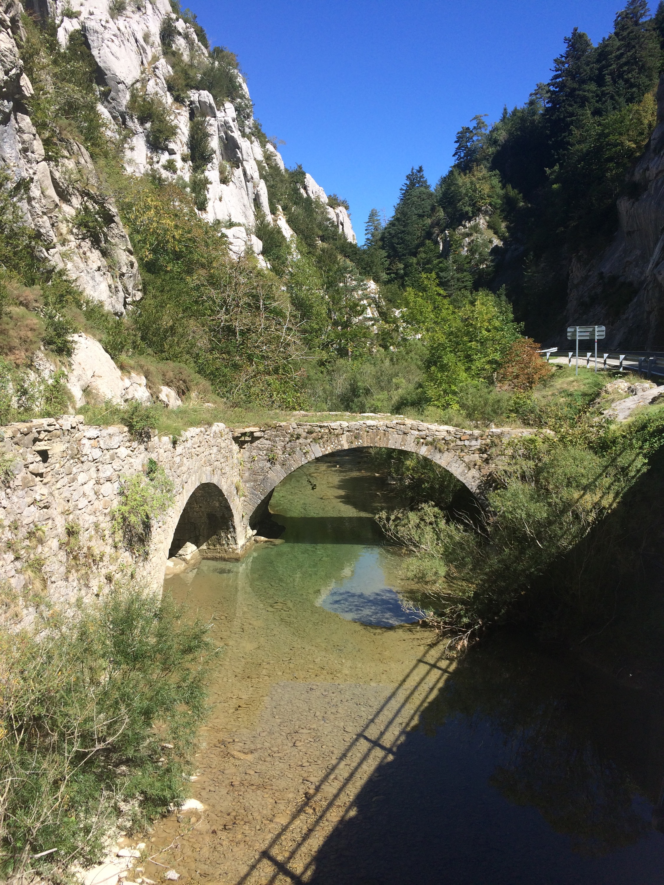
Moving across into Spain there were some more great views over the high glacial Belagua river valley
before dropping down a narrow gorge. It was here I saw the snake and vulture. Losing sight of the vulture, I was only aware of its presence two or three miles later when it’s shadow passed over me on the road. It must have been waiting for me to fall off.
Just along here we came across Martin who was cycling from Santander to Roscoff on a self modified bike carrying all his kit and a very heavy camera. Good luck Martin.
A stop just before the end of the river valley allowed Monica a trip to the bar before we completely decided to push on a bit more and wild camp this evening.
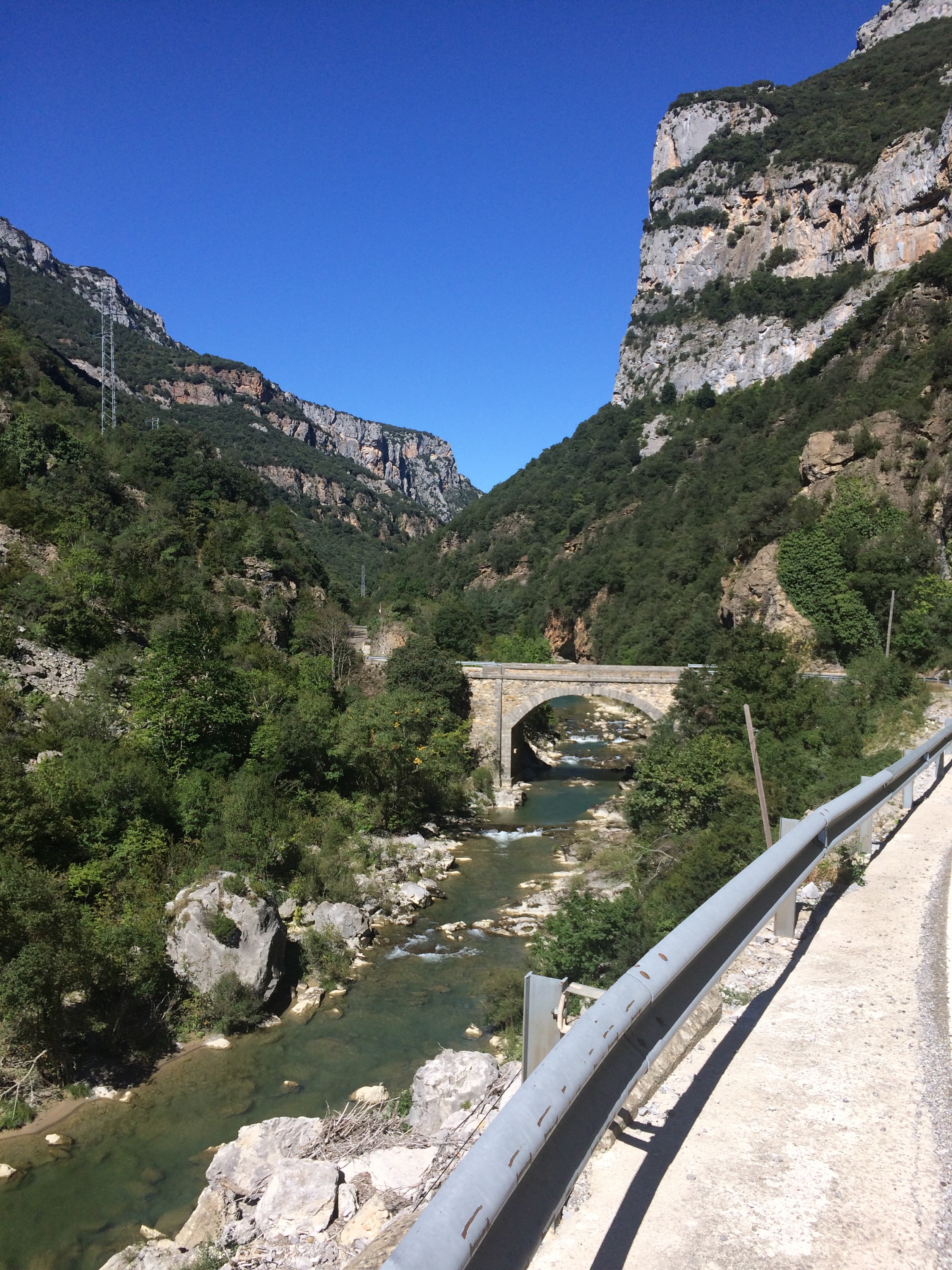
We Crossed a wide valley, where EU money is still going into roads as two huge viaducts were being completed, one for the motorway, the other for the local route we were taking
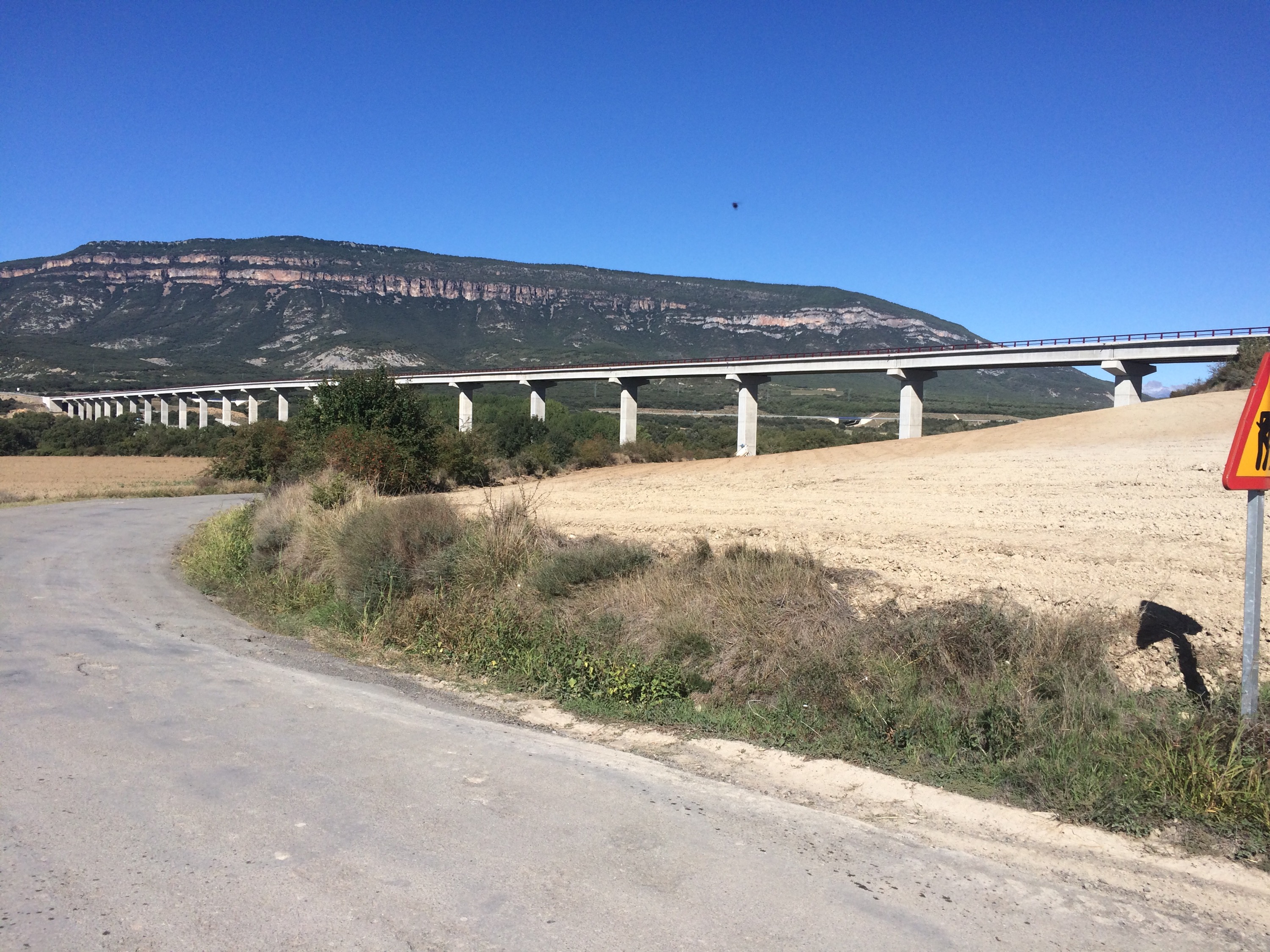
In Sweden, I learnt how they build roads there, as they rip up the old ones and relay them whilst they are still open. In Spain it is a question of let’s build a completely new route.
The road we ran on was certainly in need of repair and was being used by the trucks to transport gravel to the new road so was one of the worst on the trip. Martin had said that Spanish drivers were good to cyclists and I can only say that is so right as the lorries slowed down and passed carefully.
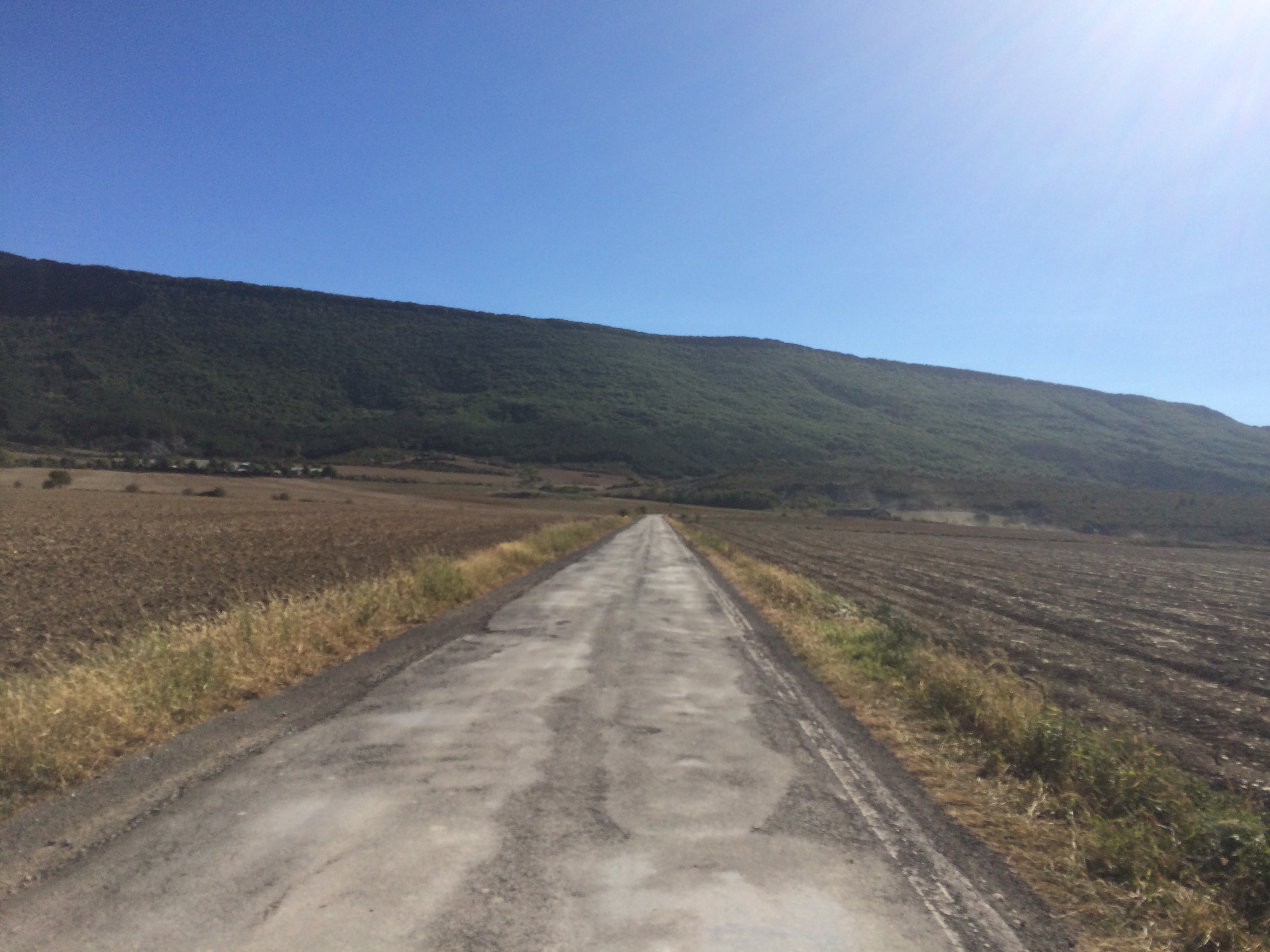
It is amazing this road needs replacing at all, as once the trucks had gone, only two vehicles went passed in either direction for 15 miles and the only village we saw was abandoned, apart from a cafe serving the occasional pilgrim still walking to Santiago.
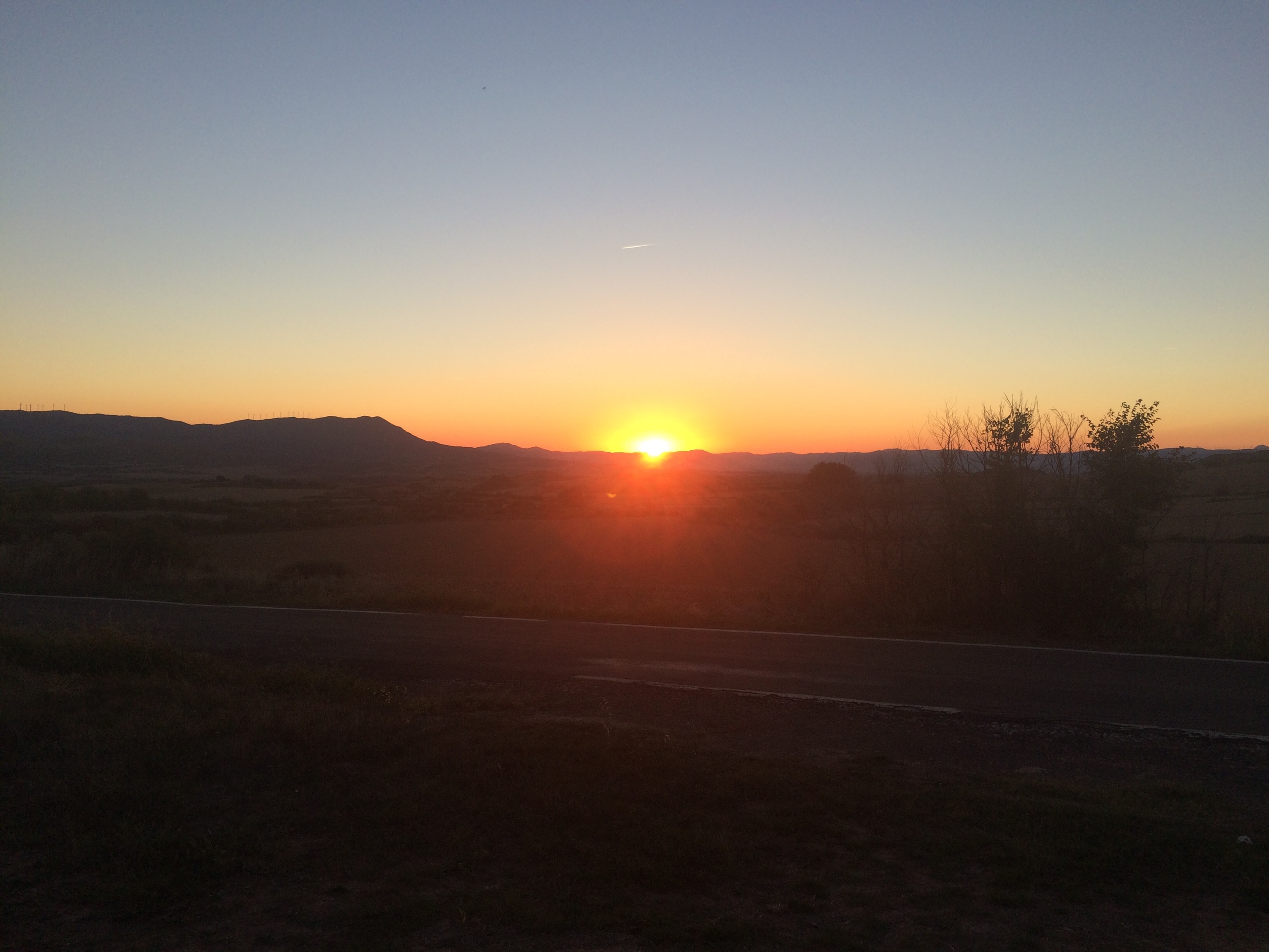
The climb over the ridge was another 1800 ft over 6 miles or so before finally dropping down into dry looking arable land where we set up camp for the night watching a beautiful sunset and seeing the stars so clearly.
Tomorrow is my last solo day of the tour as Nick and Chris are due to join us in the days destination Zaragoza on Wednesday.
A great days cycling and some wonderful countryside and I would certainly say it’s worth a visit if you are ever in this part of the world.

